15 Pearcy Close, Harold Hill, Romford, RM3 8PW
About 15 Pearcy Close
15 Pearcy Close is a property in Harold Hill, Romford, Romford (RM3 8PW). It has council tax band D.
It hasn't traded since August 2001, a hold of 25 years that's notably long for the area.
Know exactly what you're buying at 15 Pearcy Close
Before you offer, see what the listing won't tell you, the true value, the red flags and the full history.
Already flagged here
Valuation
against the asking price
Risks
planning & flood
Sold prices
similar homes nearby
Trends
the local market
Energy performance
No EPC on record
This property doesn't have an Energy Performance Certificate yet. An EPC is required to sell or let — and unlocks our automated valuation.
Planning history
15 Pearcy Close has no planning applications on record.
Notable planning nearby
8applications of note in the surrounding area
We flagged 1 thing worth checking at 15 Pearcy Close
Independent checks surfaced things a buyer would want to understand before offering. The report explains each one in full, with the underlying data and what to ask.
- Signs of HMO activity in the area
30-day money-back guarantee
Sales history & valuation
£154,370
Recorded with HM Land Registry.
Sales timeline
30 August 2001Most recent
£154,370
Median price across the last 5 sales in RM3 8PW: £440,000 (2025–2021).
Nearby sales in RM3 8PW
23 Pearcy Close, Harold Hill, Romford, RM3 8PW
Sold Jun 2025
£459,00013 Pearcy Close, Harold Hill, Romford, RM3 8PW
Sold Mar 2024
£510,00020 Pearcy Close, Harold Hill, Romford, RM3 8PW
Sold Jan 2024
£405,00022 Pearcy Close, Harold Hill, Romford, RM3 8PW
Sold Apr 2023
£440,0001 Pearcy Close, Harold Hill, Romford, RM3 8PW
Sold Jun 2021
£440,000
Everything we know about 15 Pearcy Close, in one report
What it's really worth, what could be wrong, and the planning, sales and area data in full.
What we flagged
- Signs of HMO activity in the area

Similar properties nearby
The neighbourhood at a glance
Rail-style transport is unusually close for this postcode.
Crime
6/mo
Rising year-on-year across the wider district.
Nearest stop
0.2 km
Bampton Road — bus stop.
Closest school
0.5 km
Broadford Primary School. 19 schools nearby.
Go deeper on the local area
The full report breaks down crime, transport links, schools and air quality in depth.
Road noise across the postcode
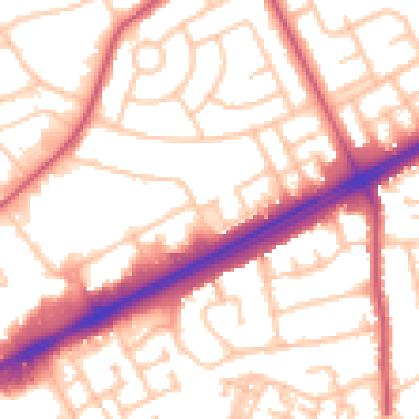
Daytime· 07:00 – 23:00
54.6dB

Night-time· 23:00 – 07:00
43.3dB