48 Ingreway, Romford, RM3 0BW
About 48 Ingreway
48 Ingreway is a three-bedroom detached house in Romford (RM3 0BW). It has a recorded floor area of 66 m² (around 708 sq ft) and council tax band E. The latest certificate (November 2009) shows an E (score 49), well below the UK norm with real room to improve. The recommended improvements would push it to D (score 65). The latest certificate is from November 2009, so improvements made since then won't be reflected.
It hasn't traded since May 2006, a hold of 20 years that's notably long for the area. It lags the bulk of the postcode on energy efficiency (less efficient than 71% of similar EPCs). Across 2001–2006, sale prices on this property compounded at 22% per year. Today's modelled estimate of £433,000 is 46.8% above the 2006 sale price.
Know exactly what you're buying at 48 Ingreway
Before you offer, see what the listing won't tell you, the true value, the red flags and the full history.
Already flagged here
Valuation
against the asking price
Risks
planning & flood
Sold prices
similar homes nearby
Trends
the local market
What this property has
Inside
- Bedrooms3
Energy performance
48 Ingreway's EPC is over a decade old — improvements since won't be reflected.
EPC Expired
This certificate is over 10 years old and is no longer valid.Expired 05 Nov 2019
EPC Rating
Planning history
48 Ingreway has no planning applications on record.
Notable planning nearby
6applications of note in the surrounding area
We flagged 2 things worth checking at 48 Ingreway
Independent checks surfaced things a buyer would want to understand before offering. The report explains each one in full, with the underlying data and what to ask.
- Signs of HMO activity in the area
- Larger development activity nearby
30-day money-back guarantee
Sales history & valuation
48 Ingreway has more than doubled in price since the earliest registered sale in 2001.
£433,000
Modelled from EPC, postcode comparables and a sale-price growth of 22.0% per year over 5 years.
£295,000
Growth on file: 22.0% per year over 5 years.
Sales timeline
4 May 2006Most recent
£295,000
+145.8%over 4 years23 October 2001
£120,000
Median price across the last 5 sales in RM3 0BW: £415,000 (2025–2023).
Everything we know about 48 Ingreway, in one report
What it's really worth, what could be wrong, and the planning, sales and area data in full.
What we flagged
- Signs of HMO activity in the area
- Larger development activity nearby

Versus other Ingreway homes
On years held, 48 Ingreway stands well clear of the street.
Price per m²
£4,487
Street avg £4,990
Floor Area
66 m²
Street avg 77 m²
Habitable Rooms
4 rooms
Street avg 4 rooms
CO₂ Emissions
5.0 t/year
Street avg 4.3 t/year
Similar properties nearby
1 Bennison Drive, Harold Wood
RM3 0WJ
1 Aubrietia Close
RM3 0XG
1 Blakeborough Drive, Harold Wood
RM3 0WS
1 Chelsworth Close
RM3 0ET
1 Ashflower Drive
RM3 0FL
1 Cavell Crescent, Harold Wood
RM3 0WL
1 Archibald Road
RM3 0RD
1 Cane Hill, Harold Wood
RM3 0WH
The neighbourhood at a glance
Reported crime in the wider district is trending notably upward year-on-year.
Crime
6/mo
Rising year-on-year across the wider district.
Nearest stop
0.3 km
Halidon Rise — bus stop.
Closest school
0.8 km
Harold Court Primary School. 16 schools nearby.
Go deeper on the local area
The full report breaks down crime, transport links, schools and air quality in depth.
Road noise across the postcode
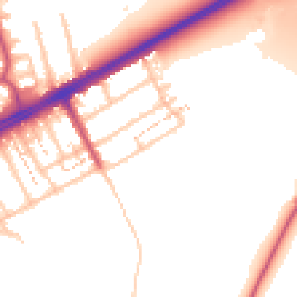
Daytime· 07:00 – 23:00
52.7dB

Night-time· 23:00 – 07:00
45.0dB