7 Ingreway, Romford, RM3 0BN
About 7 Ingreway
7 Ingreway is a three-bedroom semi-detached house in Romford (RM3 0BN). It has a recorded floor area of 88 m² (around 947 sq ft), construction records dating it to 1930-1949 and council tax band D. The latest certificate (November 2020) shows a D (score 60), on the cusp of jumping into the C band. Earlier certificates rated it C (June 2010); the latest reading is one band lower. Between certificates, lighting went from Very Poor to Very Good; while wall efficiency dropped from Good to Very Poor and roof efficiency dropped from Good to Very Poor. The recommended improvements would push it to C (score 77). Other recorded features include outbuildings.
At 88 m² it's 17.3% larger than the typical home in the postcode (75 m² median across 19 EPCs). Across 2010–2021, sale prices on this property compounded at 4.9% per year. Today's modelled estimate of £531,000 is 28% above the 2021 sale price. On a £-per-square-foot basis, the last sale (£438/sq ft) was about 50.8% above the typical sold price in the postcode. Sold October 2021 for £415,000. That sale was during the post-pandemic price surge, when transactions cleared materially above pre-2020 trend.
Know exactly what you're buying at 7 Ingreway
Before you offer, see what the listing won't tell you, the true value, the red flags and the full history.
Already flagged here
Valuation
against the asking price
Risks
planning & flood
Sold prices
similar homes nearby
Trends
the local market
What this property has
Inside
- Bedrooms3
- Bathrooms2
- Dining roomYes
- Utility roomYes
- CloakroomYes
- StudyYes
Outside
- Private gardenYes
- OutbuildingsYes
Energy performance
EPC Rating
Property Improvements
Changes detected from historical EPC data
Window efficiency improved
More low energy lighting installed
Planning history
7 Ingreway has no planning applications on record.
Notable planning nearby
6applications of note in the surrounding area
We flagged 2 things worth checking at 7 Ingreway
Independent checks surfaced things a buyer would want to understand before offering. The report explains each one in full, with the underlying data and what to ask.
- Signs of HMO activity in the area
- Larger development activity nearby
30-day money-back guarantee
Sales history & valuation
The latest sale landed in the post-pandemic price surge — useful context when reading the figure.
£531,000
Modelled from EPC, postcode comparables and a sale-price growth of 4.9% per year over 11 years.
£415,000
Growth on file: 4.9% per year over 11 years.
Sales timeline
24 October 2021Most recent
£415,000
+69.4%over 11 years3 October 2010
£245,000
Median price across the last 5 sales in RM3 0BN: £425,000 (2025–2022).
Everything we know about 7 Ingreway, in one report
What it's really worth, what could be wrong, and the planning, sales and area data in full.
What we flagged
- Signs of HMO activity in the area
- Larger development activity nearby

Versus other Ingreway homes
Price per m²
£4,716
Street avg £4,680
Floor Area
88 m²
Street avg 80 m²
Habitable Rooms
4 rooms
Street avg 4 rooms
CO₂ Emissions
4.4 t/year
Street avg 4.3 t/year
Similar properties nearby
1 Cavell Crescent, Harold Wood
RM3 0WL
1 Ashflower Drive
RM3 0FL
1 Cane Hill, Harold Wood
RM3 0WH
1 Chelsworth Close
RM3 0ET
1 Blakeborough Drive, Harold Wood
RM3 0WS
1 Aubrietia Close
RM3 0XG
1 Bennison Drive, Harold Wood
RM3 0WJ
1 Archibald Road
RM3 0RD
The neighbourhood at a glance
Reported crime in the wider district is trending notably upward year-on-year.
Crime
6/mo
Rising year-on-year across the wider district.
Nearest stop
0.3 km
Halidon Rise — bus stop.
Closest school
0.8 km
Harold Court Primary School. 16 schools nearby.
Go deeper on the local area
The full report breaks down crime, transport links, schools and air quality in depth.
Road noise across the postcode
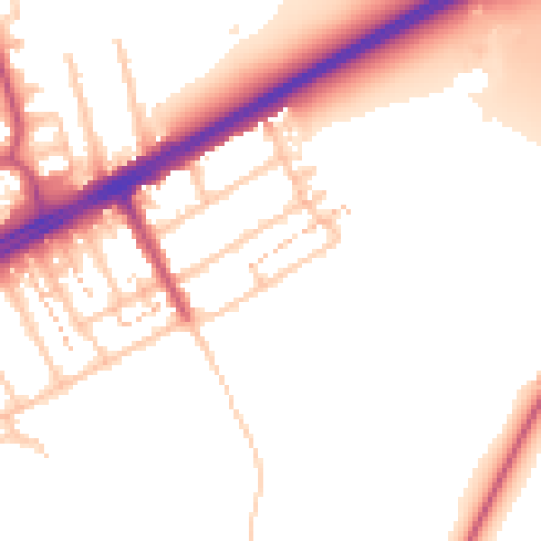
Daytime· 07:00 – 23:00
53.0dB

Night-time· 23:00 – 07:00
45.2dB