14 Ashbrook Road, Dagenham, RM10 7ED
About 14 Ashbrook Road
14 Ashbrook Road is a property in Dagenham (RM10 7ED). It has council tax band C.
Energy performance
No EPC on record
This property doesn't have an Energy Performance Certificate yet. An EPC is required to sell or let — and unlocks our automated valuation.
Planning history
No planning applications are recorded against 14 Ashbrook Road, Dagenham, RM10 7ED. The full report also covers planning activity across the surrounding area.
Sales history & valuation
No sales recorded with HM Land Registry
That can mean the property has never traded since the registry began publishing in 1995, was a new build that hasn't been registered yet, or is held in the same hands long-term.
Median price across the last 5 sales in RM10 7ED: £383,000 (2024–2020).
Nearby sales in RM10 7ED
Similar properties nearby
The neighbourhood at a glance
Reported crime in the wider district is trending notably upward year-on-year.
Crime
7/mo
Rising year-on-year across the wider district.
Nearest stop
0.1 km
Woodshire Road — bus stop.
Closest school
0.4 km
Eastbrook School. 50 schools nearby.
Road noise across the postcode
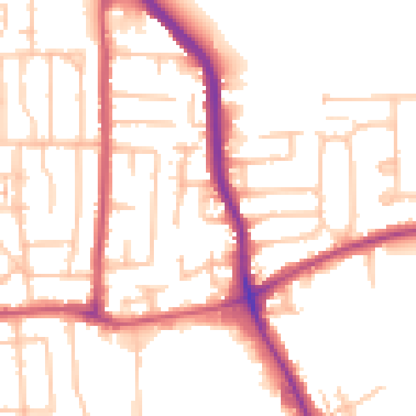
Daytime· 07:00 – 23:00
51.9dB

Night-time· 23:00 – 07:00
41.7dB