Mayfield, High Street, Limpsfield, Oxted, RH8 0DT
About Mayfield
Mayfield is a detached house in Limpsfield, Oxted, Oxted (RH8 0DT). It has a recorded floor area of 175 m² (around 1884 sq ft) and construction records dating it to 2022. The latest certificate (February 2024) returns an A (score 93), the top energy band on the EPC scale. Main heating runs on electricity: electricity, unspecified tariff.
At 175 m² the property is well over the postcode median (128 m² across 11 EPCs), placing it in the larger end of the local stock. On energy efficiency it sits in the top 10% of properties in this postcode. One planning record on file: an extension approved in 2023. Past consents include an extension, meaningful when judging how the property has evolved. On a £-per-square-foot basis, the last sale (£808/sq ft) was about 136.8% above the typical sold price in the postcode. Last sale on file: £1,522,130 in April 2024.
Know exactly what you're buying at Mayfield
Before you offer, see what the listing won't tell you, the true value, the red flags and the full history.
Already flagged here
Valuation
against the asking price
Risks
planning & flood
Sold prices
similar homes nearby
Trends
the local market
Energy performance
Mayfield ranks among the most efficient homes in the postcode for energy use.
EPC Rating
Planning history
- Oct 2023ExtensionConditionsIn report
Variation of Condition 2 (Plans) of planning permission ref: 2021/1235 (Erection of dwelling (approved under TA/2020/225) and erection of detached garage.)). To include the porch and side window to the main dwellinghouse.
- Documents
- 18 docs on file
- Reference
- 2023/209
We flagged 1 thing worth checking at Mayfield
Independent checks surfaced things a buyer would want to understand before offering. The report explains each one in full, with the underlying data and what to ask.
- Larger development activity nearby
30-day money-back guarantee
Sales history & valuation
Mayfield valuation sits well clear of the typical sold price in this postcode.
£1,570,000
Modelled from EPC, postcode comparables.
£1,522,130
Recorded with HM Land Registry.
Sales timeline
14 April 2024Most recent
£1,522,130
Median price across the last 5 sales in RH8 0DT: £1,235,000 (2025–2019).
Nearby sales in RH8 0DT
1 Forge Cottages, High Street, Limpsfield, Oxted, RH8 0DT
Sold Oct 2025
£477,000Priest Hill House, High Street, Limpsfield, Oxted, RH8 0DT
Sold Oct 2023
£1,460,000White Hart Lodge, High Street, Limpsfield, Oxted, RH8 0DT
Sold Jul 2023
£1,720,000Priest Hill Cottage, High Street, Limpsfield, Oxted, RH8 0DT
Sold Jun 2021
£910,000West House, High Street, Limpsfield, Oxted, RH8 0DT
Sold Oct 2019
£1,235,000
Everything we know about Mayfield, in one report
What it's really worth, what could be wrong, and the planning, sales and area data in full.
What we flagged
- Larger development activity nearby

Versus other High Street homes
EPC Rating for Mayfield runs comfortably ahead of the street norm.
Price per m²
£8,698
Street avg £4,709
Floor Area
175 m²
Street avg 170 m²
CO₂ Emissions
0.8 t/year
Street avg 10.6 t/year
Years Held
2 years
Street avg 9 years
Similar properties nearby
The neighbourhood at a glance
Crime
2/mo
Steady year-on-year across the wider district.
Nearest stop
0.2 km
High Street — bus stop.
Closest school
0.4 km
Limpsfield CofE Infant School. 5 schools nearby.
Go deeper on the local area
The full report breaks down crime, transport links, schools and air quality in depth.
Road noise across the postcode
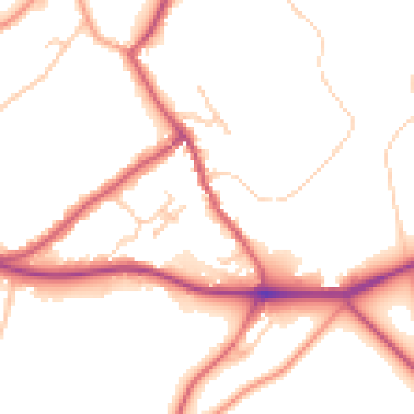
Daytime· 07:00 – 23:00
51.4dB

Night-time· 23:00 – 07:00
44.2dB