2 Forge Cottages, High Street, Limpsfield, Oxted, RH8 0DT
About 2 Forge Cottages
2 Forge Cottages is a property in Limpsfield, Oxted, Oxted (RH8 0DT). It has council tax band E.
It hasn't traded since June 2003, a hold of 23 years that's notably long for the area. One planning record on file: tree works approved in 2022. Past consents include tree works, meaningful when judging how the property has evolved. Across 2001–2003, sale prices on this property compounded at 12.5% per year.
Know exactly what you're buying at 2 Forge Cottages
Before you offer, see what the listing won't tell you, the true value, the red flags and the full history.
Already flagged here
Valuation
against the asking price
Risks
planning & flood
Sold prices
similar homes nearby
Trends
the local market
Energy performance
No EPC on record
This property doesn't have an Energy Performance Certificate yet. An EPC is required to sell or let — and unlocks our automated valuation.
Planning history
- May 2022Tree WorksTreesIn report
Variegated leyland cypress) - Fell to fence height or possibly lower (ground is sloped). (Please refer to photo provided.)
- Documents
- 9 docs on file
- Reference
- 2022/471/TCA
We flagged 1 thing worth checking at 2 Forge Cottages
Independent checks surfaced things a buyer would want to understand before offering. The report explains each one in full, with the underlying data and what to ask.
- Larger development activity nearby
30-day money-back guarantee
Sales history & valuation
£185,000
Growth on file: 12.5% per year over 2 years.
Sales timeline
11 June 2003Most recent
£185,000
+21.7%over 1 year11 October 2001
£152,000
Median price across the last 5 sales in RH8 0DT: £1,460,000 (2025–2021).
Nearby sales in RH8 0DT
1 Forge Cottages, High Street, Limpsfield, Oxted, RH8 0DT
Sold Oct 2025
£477,000Mayfield, High Street, Limpsfield, Oxted, RH8 0DT
Sold Apr 2024
£1,522,130Priest Hill House, High Street, Limpsfield, Oxted, RH8 0DT
Sold Oct 2023
£1,460,000White Hart Lodge, High Street, Limpsfield, Oxted, RH8 0DT
Sold Jul 2023
£1,720,000Priest Hill Cottage, High Street, Limpsfield, Oxted, RH8 0DT
Sold Jun 2021
£910,000
Everything we know about 2 Forge Cottages, in one report
What it's really worth, what could be wrong, and the planning, sales and area data in full.
What we flagged
- Larger development activity nearby

Similar properties nearby
1 Caxton Lodge, Caxton Lane
RH8 0TE
1 Bower Court, High Street, Limpsfield
RH8 0DY
1 Caxton House, Caxton Lane
RH8 0TE
1 Bank Flat, 1 Gresham Road
RH8 0BS
1 Crabwood, 13 Bluehouse Lane
RH8 0UA
1 Downs Way
RH8 0NZ
1 Evelyn Avenue, Pilgrims Lane, Titsey
RH8 0SF
1 Broomlands Farm Cottages, Broomlands Lane
RH8 0SP
The neighbourhood at a glance
Crime
2/mo
Steady year-on-year across the wider district.
Nearest stop
0.2 km
High Street — bus stop.
Closest school
0.4 km
Limpsfield CofE Infant School. 5 schools nearby.
Go deeper on the local area
The full report breaks down crime, transport links, schools and air quality in depth.
Road noise across the postcode
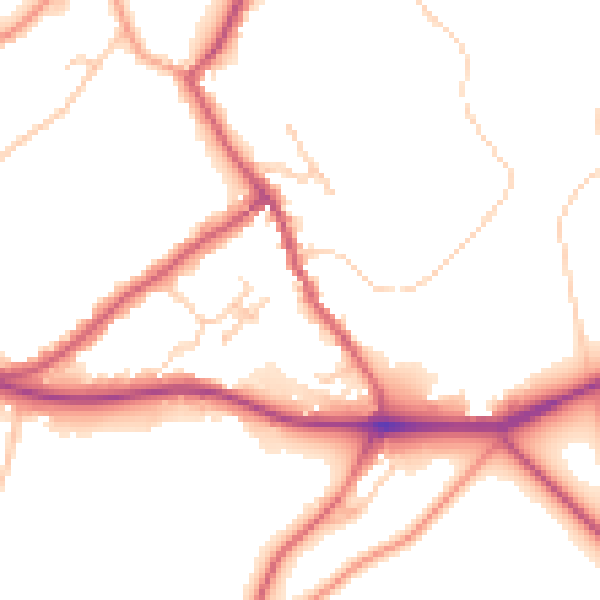
Daytime· 07:00 – 23:00
51.4dB

Night-time· 23:00 – 07:00
44.2dB