2 Brown Close, Broadbridge Heath, Horsham, RH12 3UR
About 2 Brown Close
2 Brown Close is a three-bedroom semi-detached house in Broadbridge Heath, Horsham, Horsham (RH12 3UR). It has a recorded floor area of 92 m² (around 990 sq ft), construction records dating it to 2012-2021 and council tax band D. The latest certificate (January 2026) shows a C (score 80), near the top of the C band. Earlier certificates rated it B (August 2015); the latest reading is one band lower. Between certificates, wall efficiency dropped from Very Good to Good and window efficiency dropped from Very Good to Average. The recommended improvements would push it to B (score 84). This certificate was lodged in the last six months, so the rating reflects current condition.
At 92 m² the property is well over the postcode median (57 m² across 15 EPCs), placing it in the larger end of the local stock. It lags the bulk of the postcode on energy efficiency (less efficient than 73% of similar EPCs). Across 2015–2021, sale prices on this property compounded at 2.7% per year. On a £-per-square-foot basis, the last sale (£414/sq ft) was about 33.2% above the typical sold price in the postcode. Sold August 2021 for £410,000. That sale was during the post-pandemic price surge, when transactions cleared materially above pre-2020 trend.
What this property has
Inside
- Bedrooms3
- Bathrooms1
- Open-plan layoutYes
- Dining roomYes
Outside
- Private gardenYes
- DrivewayYes
Everything you need to know about 2 Brown Close
The true value, the hidden risks and the full sale history, in one report.
Pick your report · every report is £14.99
One time fee only - money back guarantee

The data behind every report


Energy performance
The EPC has just been inspected, so the rating reflects current condition.
EPC Rating
Get a survey for this property
Level 2 HomeBuyer Report
We've checked 10 risk factors against the available data for this property and believe a Level 2 HomeBuyer Report could be a suitable option for you.
From £695 · Includes VAT
Planning history
2 Brown Close has no planning applications on record.
But the area is active
10 notable applications nearby — larger schemes and conversions that could reshape the street. The report maps them all.
Sales history & valuation
The latest sale landed in the post-pandemic price surge — useful context when reading the figure.
£450,000
Modelled from EPC, postcode comparables and a sale-price growth of 2.7% per year over 6 years.
£410,000
Growth on file: 2.7% per year over 6 years.
Sales timeline
5 August 2021Most recent
£410,000
+17.1%over 5 years25 August 2015
£350,000
Median price across the last 5 sales in RH12 3UR: £475,000 (2024–2015).
Nearby sales in RH12 3UR
16 Brown Close, Broadbridge Heath, Horsham, RH12 3UR
Sold Jan 2024
£560,00015 Brown Close, Broadbridge Heath, Horsham, RH12 3UR
Sold Aug 2017
£475,0003 Brown Close, Broadbridge Heath, Horsham, RH12 3UR
Sold Aug 2015
£270,0001 Brown Close, Broadbridge Heath, Horsham, RH12 3UR
Sold Jul 2015
£360,00013 Brown Close, Broadbridge Heath, Horsham, RH12 3UR
Sold Jul 2015
£430,000
Versus other Brown Close homes
Price per m² for 2 Brown Close runs comfortably ahead of the street norm.
Price per m²
£4,457
Street avg £3,465
Floor Area
92 m²
Street avg 131 m²
CO₂ Emissions
1.7 t/year
Street avg 2.2 t/year
Years Held
5 years
Street avg 9 years
Everything you need to know about 2 Brown Close
The true value, the hidden risks and the full sale history, in one report.
Pick your report · every report is £14.99
One time fee only - money back guarantee
The data behind every report
Similar properties nearby
1 Adams Close, Broadbridge Heath
RH12 3UT
1 Arundene Cottage, Loxwood Road, Rudgwick
RH12 3BT
1 Buck Way, Broadbridge Heath
RH12 3UH
1 Brookhurst Field, Foxholes, Rudgwick
RH12 3DQ
1 Barley Mews, Rudgwick
RH12 3XL
1 Bearsden Way, Broadbridge Heath
RH12 3AQ
1 Buckhurst Cottages, Church Street, Rudgwick
RH12 3EZ
1 Chantler Lane, Broadbridge Heath
RH12 3TW
The neighbourhood at a glance
Crime
2/mo
Steady year-on-year across the wider district.
Nearest stop
0.1 km
Bucks Way — bus stop.
Closest school
0.8 km
Shelley Primary School. 8 schools nearby.
Go deeper on the local area
A Local Area report breaks down crime, transport links, schools and air quality in depth.
Road noise across the postcode
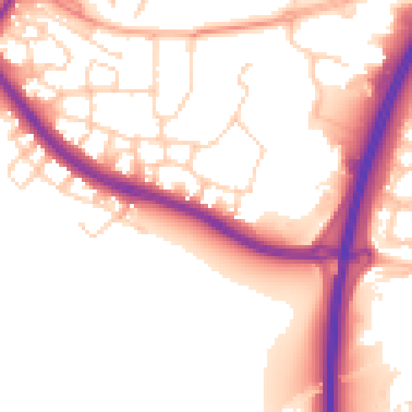
Daytime· 07:00 – 23:00
53.3dB
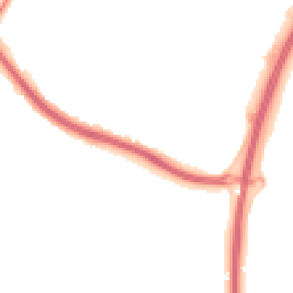
Night-time· 23:00 – 07:00
44.9dB