11 Billingshurst Road, Broadbridge Heath, Horsham, RH12 3LB
About 11 Billingshurst Road
11 Billingshurst Road is a semi-detached house in Broadbridge Heath, Horsham, Horsham (RH12 3LB). It has a recorded floor area of 83 m² (around 889 sq ft), construction records dating it to before 1900 and council tax band D. The latest certificate (May 2010) shows a D (score 56), a step below the typical UK home. The recommended improvements would push it to C (score 72). The latest certificate is from May 2010, so improvements made since then won't be reflected.
At 83 m² it sits well below the postcode median (118 m² across 7 EPCs), making it one of the more compact homes locally. 2 planning records sit against the property, 2 approved, 0 refused. Past consents include a loft conversion, meaningful when judging how the property has evolved. Across 2005–2020, sale prices on this property compounded at 6% per year. On a £-per-square-foot basis, the last sale (£489/sq ft) was about 148.6% above the typical sold price in the postcode. Most recent transfer: January 2020 at £435,000.
Everything you need to know about 11 Billingshurst Road
The true value, the hidden risks and the full sale history, in one report.
Pick your report · every report is £14.99
One time fee only - money back guarantee

The data behind every report


Energy performance
11 Billingshurst Road's EPC is over a decade old — improvements since won't be reflected.
EPC Expired
This certificate is over 10 years old and is no longer valid.Expired 17 May 2020
EPC Rating
Get a survey for this property
Level 3 Building Survey
Because the property was built before 1919, we believe a Level 3 building survey should be considered.
From £1,020 · Includes VAT
Planning history
2 applications on record at 11 Billingshurst Road, Broadbridge Heath, Horsham, RH12 3LB
- Feb 2014Loft ConversionOutlineOutcome in report
Insertion of rear dormer (Certificate of Proposed Lawful Use)
- Documents
- 10 docs on file
- Reference
- DC/13/2405
- More recent applications — locked
- FullFeb 2014Decision
Unlock 11 Billingshurst Road, Broadbridge Heath, Horsham, RH12 3LB's full planning history
You're seeing the shape of it. The report has the substance.
- Every decision — granted, refused or withdrawn (2 on record)
- All 2 applications on this property in full, plus 10 notable nearby
- The 18 documents, officer reports & conditions
- What the pattern means for extending or converting here
One time fee only - money back guarantee
Sales history & valuation
Latest sale on 11 Billingshurst Road was the highest on Land Registry record across the postcode.
£464,000
Modelled from EPC, postcode comparables and a sale-price growth of 6.0% per year over 14 years.
£435,000
Growth on file: 6.0% per year over 14 years.
Sales timeline
30 January 2020Most recent
£435,000
+74.0%over 9 years26 August 2010
£250,000
+31.6%over 4 years6 October 2005
£190,000
Median price across the last 5 sales in RH12 3LB: £357,500 (2024–2009).
Nearby sales in RH12 3LB
19 Billingshurst Road, Broadbridge Heath, Horsham, RH12 3LB
Sold Jan 2024
£357,5001 Billingshurst Road, Broadbridge Heath, Horsham, RH12 3LB
Sold Oct 2019
£381,5009 Billingshurst Road, Broadbridge Heath, Horsham, RH12 3LB
Sold Aug 2017
£385,0007 Billingshurst Road, Broadbridge Heath, Horsham, RH12 3LB
Sold Feb 2012
£210,0005b, Billingshurst Road, Broadbridge Heath, Horsham, RH12 3LB
Sold May 2009
£250,000
Versus other Billingshurst Road homes
On price per m², 11 Billingshurst Road stands well clear of the street.
Price per m²
£5,266
Street avg £2,463
Floor Area
83 m²
Street avg 108 m²
Habitable Rooms
4 rooms
Street avg 6 rooms
CO₂ Emissions
4.8 t/year
Street avg 6.1 t/year
Everything you need to know about 11 Billingshurst Road
The true value, the hidden risks and the full sale history, in one report.
Pick your report · every report is £14.99
One time fee only - money back guarantee
The data behind every report
Similar properties nearby
1 Barnsfold Cottages, Barnsfold Lane, Rudgwick
RH12 3BN
1 Arundene Cottage, Loxwood Road, Rudgwick
RH12 3BT
1 Adams Close, Broadbridge Heath
RH12 3UT
1 Brown Close, Broadbridge Heath
RH12 3UR
1 Caffyn Place, Broadbridge Heath
RH12 3XH
1 Buck Way, Broadbridge Heath
RH12 3UH
1 Billingshurst Road, Broadbridge Heath
RH12 3LB
1 Carter Drive, Broadbridge Heath
RH12 3GZ
The neighbourhood at a glance
Crime
2/mo
Steady year-on-year across the wider district.
Nearest stop
0.0 km
Church Road — bus stop.
Closest school
0.2 km
Shelley Primary School. 10 schools nearby.
Go deeper on the local area
A Local Area report breaks down crime, transport links, schools and air quality in depth.
Road noise across the postcode
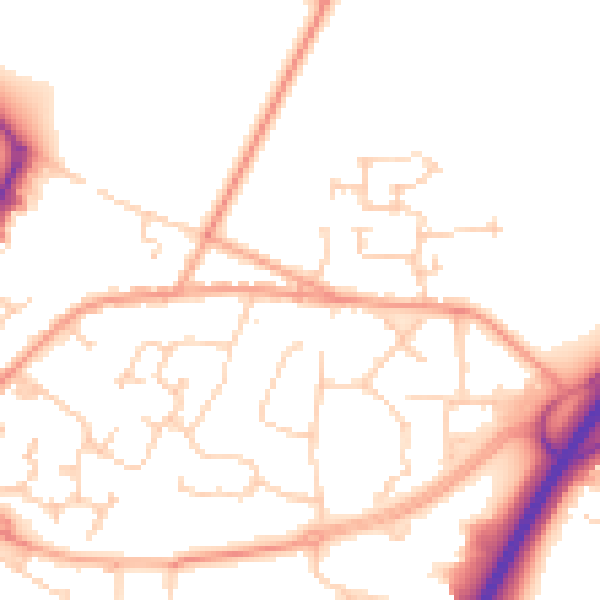
Daytime· 07:00 – 23:00
50.9dB

Night-time· 23:00 – 07:00
41.0dB