13 Arrancourt, Gilligan Close, Horsham, RH12 1UA
About 13 Arrancourt
13 Arrancourt is a one-bedroom semi-detached house in Horsham (RH12 1UA). It has a recorded floor area of 48 m² (around 517 sq ft), construction records dating it to 1976-1982 and council tax band B. Tenure is freehold. At 48 m² this is the 7th smallest of 39 units on EPC record in the building, where floor areas span 45–65 m². The building's EPC ratings span D to B across 39 units on file. The latest certificate (September 2015) shows a C (score 78), near the top of the C band. The latest certificate is from September 2015, so improvements made since then won't be reflected.
A recent sale: £192,000 in July 2025. Across 1997–2025, sale prices on this property compounded at 5.6% per year. On a £-per-square-foot basis, the last sale (£372/sq ft) was about 89.1% above the typical sold price in the postcode.
What this property has
Inside
- Bedrooms1
- Bathrooms1
Outside
- Communal gardenYes
- ParkingAllocated
Building
- TenureFreehold
- RefurbishedYes
Everything you need to know about 13 Arrancourt
The true value, the hidden risks and the full sale history, in one report.
Pick your report · every report is £14.99
One time fee only - money back guarantee

The data behind every report


Energy performance
13 Arrancourt's carbon output is low for the local stock.
EPC Expired
This certificate is over 10 years old and is no longer valid.Expired 20 Sept 2025
EPC Rating
Get a survey for this property
Level 2 HomeBuyer Report
We've checked 10 risk factors against the available data for this property and believe a Level 2 HomeBuyer Report could be a suitable option for you.
From £545 · Includes VAT
Planning history
13 Arrancourt has no planning applications on record.
But the area is active
1 notable application nearby — larger schemes and conversions that could reshape the street. The report maps them all.
Sales history & valuation
13 Arrancourt has more than quadrupled in price since its earliest registered sale in 1997.
£208,000
Modelled from EPC, postcode comparables and a sale-price growth of 5.6% per year over 28 years.
£192,000
Growth on file: 5.6% per year over 28 years.
Sales timeline
23 July 2025Most recent
£192,000
+357.1%over 27 years19 August 1997
£42,000
Median price across the last 5 sales in RH12 1UA: £190,000 (2025–2023).
Nearby sales in RH12 1UA
43 Arrancourt, Gilligan Close, Horsham, RH12 1UA
Sold Oct 2025
£190,00044 Arrancourt, Gilligan Close, Horsham, RH12 1UA
Sold Sept 2024
£225,00034 Arrancourt, Gilligan Close, Horsham, RH12 1UA
Sold Dec 2023
£187,00011 Arrancourt, Gilligan Close, Horsham, RH12 1UA
Sold Oct 2023
£195,00040 Arrancourt, Gilligan Close, Horsham, RH12 1UA
Sold May 2023
£180,000
Versus other Gilligan Close homes
13 Arrancourt is notably below the street on years held.
Price per m²
£4,000
Street avg £2,666
Floor Area
48 m²
Street avg 52 m²
Habitable Rooms
2 rooms
Street avg 2 rooms
CO₂ Emissions
1.2 t/year
Street avg 1.9 t/year
Everything you need to know about 13 Arrancourt
The true value, the hidden risks and the full sale history, in one report.
Pick your report · every report is £14.99
One time fee only - money back guarantee
The data behind every report
Similar properties nearby
1 Arrancourt, Gilligan Close
RH12 1UA
1 Brook Terrace, Talbot Lane
RH12 1ES
1 Bishopric Court
RH12 1TH
1 Chichester Terrace
RH12 1DB
1 Anchor Court, Talbot Lane
RH12 1ET
1 Barn Cottage, Talbot Lane
RH12 1ES
1 Burstow Court, Bishopric
RH12 1DL
1 10 St Marys House, Flat 5, Normandy
RH12 1JL
The neighbourhood at a glance
Crime
2/mo
Steady year-on-year across the wider district.
Nearest stop
0.1 km
Middleton Road — bus stop.
Closest school
0.3 km
Arunside School, Horsham. 14 schools nearby.
Go deeper on the local area
A Local Area report breaks down crime, transport links, schools and air quality in depth.
Road noise across the postcode
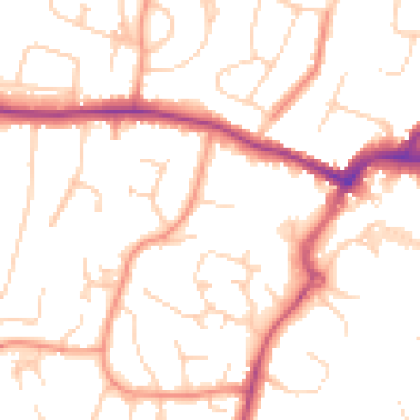
Daytime· 07:00 – 23:00
50.8dB
Night-time· 23:00 – 07:00
41.0dB