Skip to content

1 Crosspath, Crawley, RH10 8BW

Property type
Semi-detached
Bedroom
1
Bathrooms
2
Floor area
157 m²
1690 sq ft
Energy rating
C
Score 72
Council tax
Band D
Tenure
Owner Occupied
Overview

About 1 Crosspath

A plain-English summary derived from public records, EPC certificates, sold prices and local data.

1 Crosspath is a one-bedroom semi-detached house in Crawley (RH10 8BW). It has a recorded floor area of 157 m² (around 1690 sq ft), construction records dating it to 1930-1949 and council tax band D. The latest certificate (November 2025) shows a C (score 72).

Held since August 2008 — that's 18 years off the open market, well above the local norm. That sale landed at the peak of the pre-credit-crunch market, which is a useful reference point when interpreting the price. At 157 m² the property is well over the postcode median (84 m² across 9 EPCs), placing it in the larger end of the local stock. 1 bedrooms is on the smaller side for this postcode, where 3 is the typical count. Across 1996–2008, sale prices on this property compounded at 8.9% per year. Today's modelled estimate of £453,000 sits 144.9% above the 2008 sale of £185,000. On a £-per-square-foot basis, the last sale (£109/sq ft) was about 36.7% below the postcode norm.

Specifications

What this property has

Pulled from EPC certificates, claim submissions and our property model. Empty categories are hidden — we only show what's known.

Inside

  • Bedrooms1
  • Bathrooms2
Before you decide

Everything you need to know about 1 Crosspath

The true value, the hidden risks and the full sale history, in one report.

Pick your report · every report is £14.99

One time fee only - money back guarantee

Preview of the full property report

The data behind every report

  • HM Land Registry, source of sold price history
  • Department for Education, source of schools data
  • Police.uk, source of crime statistics
  • Department for Transport, source of stations and transport links
  • Environment Agency, source of flood risk data
  • Department for Environment, Food & Rural Affairs, source of road noise data
  • PlanIt, source of planning application records
Energy

Energy performance

Every EPC certificate filed against this property — current rating, recorded improvements, and where there's headroom to reach a higher band.

EPC Rating

A
B
C
C72
D
E
F
G
Main Heating
Gas
Main Fuel
Gas
Hot Water
Good
Windows
Average
CO2 Emissions
4.1 t/year
Occupancy
Owner Occupied
SDL Surveying

Get a survey for this property

Level 3 Building Survey

Early 20th centurySemi-Detached HouseEPC CExtended multiple times (2+ extensions)

Because the property has been extended more than once, we believe a Level 3 building survey should be considered.

From £1,020 · Includes VAT

Planning

Planning history

Applications and permits filed against 1 Crosspath, Crawley, RH10 8BW, sourced from the PlanIt planning register.

1 Crosspath has no planning applications on record.

A planning report still maps activity across the surrounding area and reads this property's extension & conversion potential.

Price

Sales history & valuation

Recorded transactions, our model's current estimate, and a quick read on what neighbouring properties have sold for.

Sale price has at least doubled since 1996.

Current estimate

£453,000

Modelled from EPC, postcode comparables and a sale-price growth of 8.9% per year over 12 years.

See how we calculated this
Last sold (2008)

£185,000

Growth on file: 8.9% per year over 12 years.

Sales timeline

  1. 28 August 2008Most recent

    £185,000

    +172.1%over 11 years
  2. 6 December 1996

    £68,000

Median price across the last 5 sales in RH10 8BW: £325,000 (2025–2013).

On the street

Versus other Crosspath homes

Four headline reads against 9 similar houses on this street, drawn from the latest EPC and Land Registry data.

Floor Area for 1 Crosspath runs comfortably ahead of the street norm.

Price per m²

£1,178

Street avg £2,575

Strongly below

Floor Area

157 m²

Street avg 98 m²

Strongly above

Habitable Rooms

8 rooms

Street avg 5 rooms

Strongly above

CO₂ Emissions

4.1 t/year

Street avg 3.8 t/year

Below
Before you decide

Everything you need to know about 1 Crosspath

The true value, the hidden risks and the full sale history, in one report.

Pick your report · every report is £14.99

One time fee only - money back guarantee

Preview of the full property report

The data behind every report

  • HM Land Registry, source of sold price history
  • Department for Education, source of schools data
  • Police.uk, source of crime statistics
  • Department for Transport, source of stations and transport links
  • Environment Agency, source of flood risk data
  • Department for Environment, Food & Rural Affairs, source of road noise data
  • PlanIt, source of planning application records
Area

The neighbourhood at a glance

A condensed read of the local area. Each tile links through to the full breakdown on the Crawley district page.

Rail-style transport is unusually close for this postcode.

Crime

6/mo

Steady year-on-year across the wider district.

Nearest stop

0.1 km

Exchange Road — bus stop.

Closest school

0.4 km

Northgate Primary School. 31 schools nearby.

Go deeper on the local area

A Local Area report breaks down crime, transport links, schools and air quality in depth.
Noise

Road noise across the postcode

Modelled day and night-time noise levels around RH10 8BW from Defra's strategic mapping. The pin marks this postcode's centroid.
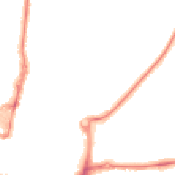
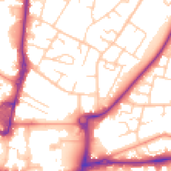
Daytime road noise heatmap for RH10 8BW

Daytime· 07:00 – 23:00

54.4dB

Low
Night-time road noise heatmap for RH10 8BW

Night-time· 23:00 – 07:00

44.3dB

Low
55 dB
60 dB
65 dB
70 dB
75 dB
80 dB
Defra Road Noise Strategic Mapping, Round 4
FAQ

Common questions

The questions buyers, sellers and homeowners most often ask about 1 Crosspath, Crawley, RH10 8BW. Each answer is also embedded as structured data for search engines.