16 Priest Down, Beggarwood, Basingstoke, RG22 4RY
About 16 Priest Down
16 Priest Down is a detached house in Beggarwood, Basingstoke, Basingstoke (RG22 4RY). It has a recorded floor area of 120 m² (around 1292 sq ft), construction records dating it to 1996-2002 and council tax band F. The latest certificate (April 2022) shows a C (score 71). The recommended improvements would push it to B (score 84).
Untraded for 25 years, with the last transfer in September 2001. Today's modelled estimate of £564,000 sits 135% above the 2001 sale of £240,000.
Everything you need to know about 16 Priest Down
The true value, the hidden risks and the full sale history, in one report.
30-day money-back guarantee

The data behind every report


Energy performance
EPC Rating
Planning history
16 Priest Down has no planning applications on record.
Notable planning nearby
3applications of note in the surrounding area
We flagged 1 thing worth checking at 16 Priest Down
Independent checks surfaced things a buyer would want to understand before offering. The report explains each one in full, with the underlying data and what to ask.
- Larger development activity nearby
30-day money-back guarantee
Sales history & valuation
16 Priest Down valuation sits well clear of the typical sold price in this postcode.
£564,000
Modelled from EPC, postcode comparables.
£240,000
Recorded with HM Land Registry.
Sales timeline
27 September 2001Most recent
£240,000
Median price across the last 5 sales in RG22 4RY: £505,000 (2024–2022).
Nearby sales in RG22 4RY
36 Priest Down, Beggarwood, Basingstoke, RG22 4RY
Sold Oct 2024
£532,50026 Priest Down, Beggarwood, Basingstoke, RG22 4RY
Sold Jan 2024
£485,0006 Priest Down, Beggarwood, Basingstoke, RG22 4RY
Sold Aug 2023
£495,00022 Priest Down, Beggarwood, Basingstoke, RG22 4RY
Sold Jan 2023
£505,00033 Priest Down, Beggarwood, Basingstoke, RG22 4RY
Sold Oct 2022
£535,000
Versus other Priest Down homes
16 Priest Down outperforms the street on years held by a wide margin.
Price per m²
£2,000
Street avg £3,035
Floor Area
120 m²
Street avg 129 m²
Habitable Rooms
7 rooms
Street avg 7 rooms
CO₂ Emissions
3.9 t/year
Street avg 4.0 t/year
Everything you need to know about 16 Priest Down
The true value, the hidden risks and the full sale history, in one report.
30-day money-back guarantee
The data behind every report
Similar properties nearby
The neighbourhood at a glance
Crime
7/mo
Steady year-on-year across the wider district.
Nearest stop
0.1 km
Priestdown — bus stop.
Closest school
0.7 km
St Mark's Church of England Primary School. 12 schools nearby.
Go deeper on the local area
The full report breaks down crime, transport links, schools and air quality in depth.
Road noise across the postcode
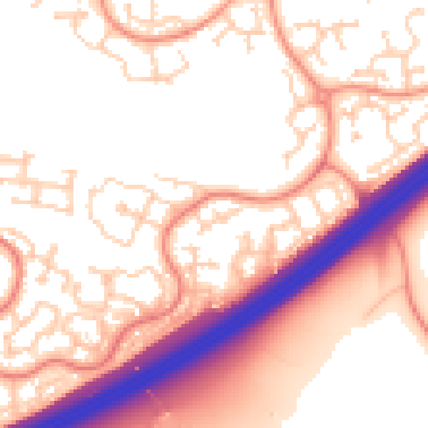
Daytime· 07:00 – 23:00
55.4dB

Night-time· 23:00 – 07:00
45.6dB