9 Breach Avenue, Emsworth, PO10 8NB
About 9 Breach Avenue
9 Breach Avenue is a four-bedroom detached house in Emsworth (PO10 8NB). It has a recorded floor area of 191 m² (around 2056 sq ft), construction records dating it to 1996-2002 and council tax band E. The latest certificate (April 2018) returns a high B (score 90), putting the home a stone's throw from an A rating. The recommended improvements would push it to A (score 94).
It hasn't traded since September 2000, a hold of 26 years that's notably long for the area. Only one transfer is on record with HM Land Registry, suggesting it has stayed in the same hands for a long time. At 191 m² the property is well over the postcode median (133 m² across 23 EPCs), placing it in the larger end of the local stock. On energy efficiency it sits in the top 10% of properties in this postcode. 4 bedrooms is on the larger side for this postcode, where 3 is the typical count. Today's modelled estimate of £610,000 sits 504% above the 2000 sale of £101,000. On a £-per-square-foot basis, the last sale (£49/sq ft) was about 83.5% below the postcode norm. 2 planning records sit against the property, 2 approved, 0 refused. Past consents include solar panel installation, meaningful when judging how the property has evolved.
Know exactly what you're buying at 9 Breach Avenue
Before you offer, see what the listing won't tell you, the true value, the red flags and the full history.
Already flagged here
Launch offer · save £5
Valuation
against the asking price
Risks
planning & flood
Sold prices
similar homes nearby
Trends
the local market
What this property has
Inside
- Bedrooms4
- Bathrooms1
Energy performance
9 Breach Avenue ranks among the most efficient homes in the postcode for energy use.
EPC Rating
Planning history
Planning records include a solar-panel installation at 9 Breach Avenue.
- Nov 2011Solar PanelsFullIn report
Photovoltaic Cells to roof.
- Agent
- iDraw Limited
- Documents
- 9 docs on file
- Reference
- 11/04034/DOM
- Jul 2004RenovationFullIn report
Front garden wall with piers and a metal sliding access gate.
- Documents
- 13 docs on file
- Reference
- 04/01996/DOM
We flagged 1 thing worth checking at 9 Breach Avenue
Independent checks surfaced things a buyer would want to understand before offering. The report explains each one in full, with the underlying data and what to ask.
- Larger development activity nearby
30-day money-back guarantee
Sales history & valuation
9 Breach Avenue's modelled value sits at over four times its earliest registered sale price (2000).
£610,000
Modelled from EPC, postcode comparables.
£101,000
Recorded with HM Land Registry.
Sales timeline
7 September 2000Most recent
£101,000
Median price across the last 5 sales in PO10 8NB: £650,000 (2025–2022).
Nearby sales in PO10 8NB
Everything we know about 9 Breach Avenue, in one report
What it's really worth, what could be wrong, and the planning, sales and area data in full.
What we flagged
- Larger development activity nearby

Versus other Breach Avenue homes
9 Breach Avenue is notably below the street on price per m².
Price per m²
£529
Street avg £3,809
Floor Area
191 m²
Street avg 128 m²
Habitable Rooms
6 rooms
Street avg 7 rooms
CO₂ Emissions
1.3 t/year
Street avg 5.0 t/year
Similar properties nearby
1 Alfrey Close
PO10 8ET
1 Breach Avenue
PO10 8NB
1 Cheshire Way
PO10 8PU
1 Byerley Close, Westbourne
PO10 8TS
1 Barn Cottages, Prinsted Lane, Prinsted
PO10 8HT
1 Church Road, Southbourne
PO10 8JT
1 Barnfield Close
PO10 8NH
1 Avocet Quay
PO10 8BY
The neighbourhood at a glance
Rail-style transport is unusually close for this postcode.
Crime
2/mo
Steady year-on-year across the wider district.
Nearest stop
0.2 km
Breach Avenue — bus stop.
Closest school
0.6 km
Bourne Community College. 7 schools nearby.
Go deeper on the local area
The full report breaks down crime, transport links, schools and air quality in depth.
Road noise across the postcode
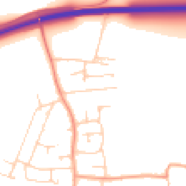
Daytime· 07:00 – 23:00
51.1dB

Night-time· 23:00 – 07:00
42.8dB