Knighton Court, Flat 3, 2 Norwich Road, Cromer, NR27 0AX
About Knighton Court
Knighton Court is a two-bedroom semi-detached house in Cromer (NR27 0AX). It has a recorded floor area of 77 m² (around 829 sq ft), construction records dating it to 1950-1966 and council tax band A. At 77 m² this is the smallest unit on EPC record across Knighton Court (77–156 m²). The building's EPC ratings span E to D, with this unit at the top. On EPC score it ranks first in the building (66 versus a worst of 54). Other recorded features include a balcony. The latest certificate (March 2013) shows a D (score 66), on the cusp of jumping into the C band. When first surveyed in October 2010 the rating was F, the property has climbed 2 bands since. Between certificates, wall efficiency went from Very Poor to Average, hot-water efficiency went from Average to Good and main heating went from Average to Good; while roof efficiency dropped from Very Good to Good and lighting dropped from Very Good to Very Poor. The recommended improvements would push it to C (score 69). The latest certificate is from March 2013, so improvements made since then won't be reflected.
At 77 m² it's 20.3% larger than the typical home in the postcode (64 m² median across 22 EPCs). Today's modelled estimate of £182,000 is 27.7% above the 2017 sale price. On a £-per-square-foot basis, the last sale (£172/sq ft) was about 18.5% above the typical sold price in the postcode. On the market in March 2017 and unlisted since — roughly 9 years.
Know exactly what you're buying at Knighton Court
Before you offer, see what the listing won't tell you, the true value, the red flags and the full history.
Already flagged here
Valuation
against the asking price
Risks
planning & flood
Sold prices
similar homes nearby
Trends
the local market
What this property has
Inside
- Bedrooms2
- Dining roomYes
Outside
- Private gardenYes
- BalconyYes
Building
- RefurbishedYes
Energy performance
Knighton Court's EPC is over a decade old — improvements since won't be reflected.
EPC Expired
This certificate is over 10 years old and is no longer valid.Expired 13 Mar 2023
EPC Rating
Property Improvements
Changes detected from historical EPC data
Heating controls upgraded for better temperature management
Hot water efficiency improved
Wall insulation improved
Low energy lighting percentage decreased
Planning history
Knighton Court has no planning applications on record.
Notable planning nearby
2applications of note in the surrounding area
We flagged 1 thing worth checking at Knighton Court
Independent checks surfaced things a buyer would want to understand before offering. The report explains each one in full, with the underlying data and what to ask.
- Larger development activity nearby
30-day money-back guarantee
Sales history & valuation
Knighton Court valuation sits well clear of the typical sold price in this postcode.
£182,000
Modelled from EPC, postcode comparables.
£142,500
Recorded with HM Land Registry.
Sales timeline
17 March 2017Most recent
£142,500
Median price across the last 5 sales in NR27 0AX: £214,500 (2022–2018).
Nearby sales in NR27 0AX
Everything we know about Knighton Court, in one report
What it's really worth, what could be wrong, and the planning, sales and area data in full.
What we flagged
- Larger development activity nearby

Versus other Norwich Road homes
EPC Rating for Knighton Court runs comfortably ahead of the street norm.
Price per m²
£1,851
Street avg £1,534
Floor Area
77 m²
Street avg 69 m²
Habitable Rooms
3 rooms
Street avg 3 rooms
CO₂ Emissions
3.1 t/year
Street avg 4.7 t/year
Similar properties nearby
Bracondale Court, Flat 8, Overstrand Road
NR27 0AJ
Bracondale Court, Flat 12, Overstrand Road
NR27 0AJ
Bracondale Court, Flat 3, Overstrand Road
NR27 0AJ
Bracondale Court, Flat 9, Overstrand Road
NR27 0AJ
Bracondale Court, Flat 16, Overstrand Road
NR27 0AJ
Bracondale Court, Flat 10, Overstrand Road
NR27 0AJ
Bracondale Court, Flat 14, Overstrand Road
NR27 0AJ
Bracondale Court, Flat 15, Overstrand Road
NR27 0AJ
The neighbourhood at a glance
Rail-style transport is unusually close for this postcode.
Crime
3/mo
Steady year-on-year across the wider district.
Nearest stop
0.7 km
Cromer Rail Station — railway station.
Closest school
0.7 km
Cromer Academy. 4 schools nearby.
Go deeper on the local area
The full report breaks down crime, transport links, schools and air quality in depth.
Road noise across the postcode
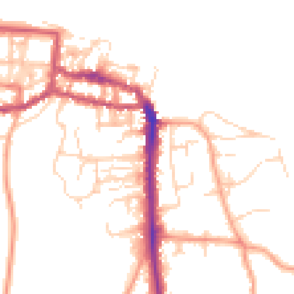
Daytime· 07:00 – 23:00
49.8dB

Night-time· 23:00 – 07:00
40.1dB