59 Brook Street, Nottingham, NG1 1EA
About 59 Brook Street
59 Brook Street is an end-of-terrace house in Nottingham (NG1 1EA). It has a recorded floor area of 126 m² (around 1356 sq ft) and construction records dating it to 2022. The latest certificate (May 2024) returns a high B (score 87), putting the home a stone's throw from an A rating. The recommended improvements would push it to A (score 96). Main heating runs on electricity: electricity, unspecified tariff.
At 126 m² the property is well over the postcode median (72 m² across 13 EPCs), placing it in the larger end of the local stock. Its energy rating outperforms most of the postcode (better than 77% of similar EPCs). Most recent transfer was December 2024 at £415,000 — fresh data. One planning record on file: partial demolition approved in 2006. Past consents include partial demolition, meaningful when judging how the property has evolved. On a £-per-square-foot basis, the last sale (£306/sq ft) was about 150.6% above the typical sold price in the postcode.
Everything you need to know about 59 Brook Street
The true value, the hidden risks and the full sale history, in one report.
Pick your report · every report is £14.99
One time fee only - money back guarantee

The data behind every report


Energy performance
59 Brook Street's carbon output is low for the local stock.
EPC Rating
Get a survey for this property
Level 2 HomeBuyer Report
We've checked 10 risk factors against the available data for this property and believe a Level 2 HomeBuyer Report could be a suitable option for you.
From £695 · Includes VAT
Planning history
Planning history includes recorded demolition works, indicating a major rebuild phase at this address.
1 application on record at 59 Brook Street, Nottingham, NG1 1EA
- Jul 2006DemolitionOtherOutcome in report
Demolition of residential properties, including details of the method of proposed demolition and any proposed restoration of the site.
- Documents
- 1 doc on file
- Reference
- 06/01024/PADS4
Unlock 59 Brook Street, Nottingham, NG1 1EA's full planning history
You're seeing the shape of it. The report has the substance.
- Every decision — granted, refused or withdrawn (1 on record)
- All 1 application on this property in full, plus 14 notable nearby
- The 1 documents, officer reports & conditions
- What the pattern means for extending or converting here
One time fee only - money back guarantee
Sales history & valuation
59 Brook Street valuation sits well clear of the typical sold price in this postcode.
£402,000
Modelled from EPC, postcode comparables.
£415,000
Recorded with HM Land Registry.
Sales timeline
23 December 2024Most recent
£415,000
Median price across the last 5 sales in NG1 1EA: £225,000 (2024–2022).
Nearby sales in NG1 1EA
Versus other Brook Street homes
59 Brook Street is notably below the street on years held.
Price per m²
£3,294
Street avg £1,882
Floor Area
126 m²
Street avg 85 m²
CO₂ Emissions
1.4 t/year
Street avg 2.5 t/year
Years Held
1 years
Street avg 7 years
Everything you need to know about 59 Brook Street
The true value, the hidden risks and the full sale history, in one report.
Pick your report · every report is £14.99
One time fee only - money back guarantee
The data behind every report
Similar properties nearby
The neighbourhood at a glance
Rail-style transport is unusually close for this postcode.
Crime
39/mo
Rising year-on-year across the wider district.
Nearest stop
0.1 km
Bath Street HR — bus stop.
Closest school
0.4 km
Nottingham College. 41 schools nearby.
Go deeper on the local area
A Local Area report breaks down crime, transport links, schools and air quality in depth.
Road noise across the postcode
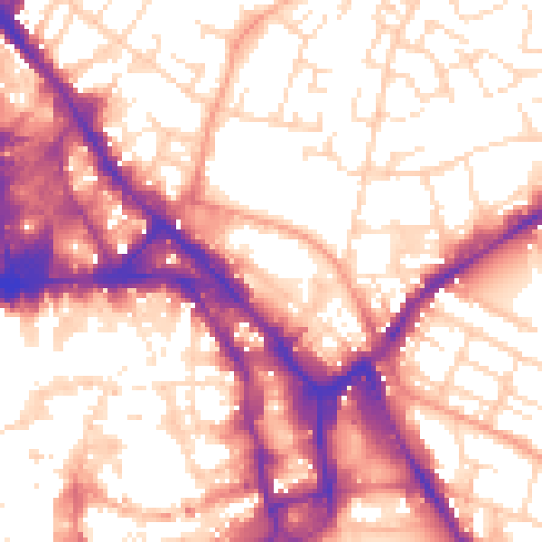
Daytime· 07:00 – 23:00
57.4dB

Night-time· 23:00 – 07:00
47.3dB