7 Andrews Avenue, Urmston, Manchester, M41 8SU
About 7 Andrews Avenue
7 Andrews Avenue is a three-bedroom detached house in Urmston, Manchester, Manchester (M41 8SU). It has a recorded floor area of 92 m² (around 990 sq ft), construction records dating it to 1950-1966 and council tax band D. The latest certificate (July 2019) shows a D (score 67), on the cusp of jumping into the C band. The recommended improvements would lift it to B (score 82), a 2-band jump. Records show the property has been extended at some point in its history. The home occupies a cul-de-sac position.
Today's modelled estimate of £559,000 is 33.1% above the 2019 sale price. On a £-per-square-foot basis, the last sale (£424/sq ft) was about 86.3% above the typical sold price in the postcode. Last sale on file: £420,000 in December 2019.
What this property has
Inside
- Bedrooms3
- Bathrooms1
- CloakroomYes
Outside
- Cul-de-sacYes
Building
- Heating systemGas
- Previously extendedYes
- RefurbishedYes
Everything you need to know about 7 Andrews Avenue
The true value, the hidden risks and the full sale history, in one report.
Pick your report · every report is £14.99
One time fee only - money back guarantee

The data behind every report


Energy performance
Recommended upgrades on file would lift this property by multiple EPC bands.
EPC Rating
Get a survey for this property
Level 2 HomeBuyer Report
We've checked 10 risk factors against the available data for this property and believe a Level 2 HomeBuyer Report could be a suitable option for you.
From £795 · Includes VAT
Planning history
7 Andrews Avenue has no planning applications on record.
A planning report still maps activity across the surrounding area and reads this property's extension & conversion potential.
Sales history & valuation
7 Andrews Avenue valuation sits well clear of the typical sold price in this postcode.
£559,000
Modelled from EPC, postcode comparables.
£420,000
Recorded with HM Land Registry.
Sales timeline
16 December 2019Most recent
£420,000
Median price across the last 5 sales in M41 8SU: £250,000 (2021–2006).
Nearby sales in M41 8SU
11 Andrews Avenue, Urmston, Manchester, M41 8SU
Sold Nov 2021
£485,00016 Andrews Avenue, Urmston, Manchester, M41 8SU
Sold Oct 2020
£397,50013 Andrews Avenue, Urmston, Manchester, M41 8SU
Sold May 2014
£240,0005 Andrews Avenue, Urmston, Manchester, M41 8SU
Sold Nov 2010
£235,00015 Andrews Avenue, Urmston, Manchester, M41 8SU
Sold Jul 2006
£250,000
Versus other Andrews Avenue homes
CO₂ Emissions for 7 Andrews Avenue runs comfortably ahead of the street norm.
Price per m²
£4,565
Street avg £3,232
Floor Area
92 m²
Street avg 100 m²
Habitable Rooms
6 rooms
Street avg 6 rooms
CO₂ Emissions
3.5 t/year
Street avg 5.0 t/year
Everything you need to know about 7 Andrews Avenue
The true value, the hidden risks and the full sale history, in one report.
Pick your report · every report is £14.99
One time fee only - money back guarantee
The data behind every report
Similar properties nearby
1 Ashworth Avenue, Urmston
M41 8TH
1 Bishop Road, Urmston
M41 8QU
1 Aldermere Crescent, Urmston
M41 8UE
1 Ashbourne Avenue, Urmston
M41 8UQ
1 Cecil Drive, Urmston
M41 8UW
1 Clarendon Road, Urmston
M41 8RZ
1 Chiltern Avenue, Urmston
M41 8SX
1 Calderbank Avenue, Urmston
M41 8SJ
The neighbourhood at a glance
Crime
1/mo
Steady year-on-year across the wider district.
Nearest stop
0.2 km
Lawrence Road — bus stop.
Closest school
0.7 km
Flixton Primary School. 21 schools nearby.
Go deeper on the local area
A Local Area report breaks down crime, transport links, schools and air quality in depth.
Road noise across the postcode
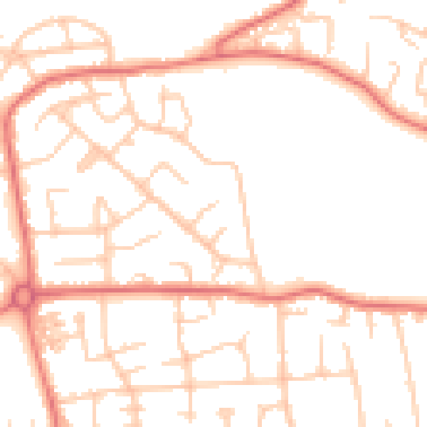
Daytime· 07:00 – 23:00
50.5dB

Night-time· 23:00 – 07:00
39.7dB