13 Haslemere Road, Urmston, Manchester, M41 6HB
About 13 Haslemere Road
13 Haslemere Road is a three-bedroom semi-detached house in Urmston, Manchester, Manchester (M41 6HB). It has a recorded floor area of 92 m² (around 990 sq ft), construction records dating it to 1930-1949 and council tax band B. The latest certificate (May 2012) shows a D (score 63), on the cusp of jumping into the C band. The recommended improvements would lift it to B (score 81), a 2-band jump. The latest certificate is from May 2012, so improvements made since then won't be reflected. Other recorded features include a conservatory.
Across 2013–2021, sale prices on this property compounded at 3.9% per year. Today's modelled estimate of £325,000 is 25% above the 2021 sale price. On a £-per-square-foot basis, the last sale (£263/sq ft) was about 30.9% above the typical sold price in the postcode. Most recent transfer: June 2021 at £260,000. That sale was during the post-pandemic price surge, when transactions cleared materially above pre-2020 trend.
What this property has
Inside
- Bedrooms3
- Bathrooms1
- Dining roomYes
- ConservatoryYes
Outside
- Private gardenSouth-facing
- GarageDetached
Building
- RefurbishedYes
Everything you need to know about 13 Haslemere Road
The true value, the hidden risks and the full sale history, in one report.
Pick your report · every report is £14.99
One time fee only - money back guarantee

The data behind every report


Energy performance
Recommended upgrades on file would lift this property by multiple EPC bands.
EPC Expired
This certificate is over 10 years old and is no longer valid.Expired 17 May 2022
EPC Rating
Get a survey for this property
Level 2 HomeBuyer Report
We've checked 10 risk factors against the available data for this property and believe a Level 2 HomeBuyer Report could be a suitable option for you.
From £595 · Includes VAT
Planning history
13 Haslemere Road has no planning applications on record.
A planning report still maps activity across the surrounding area and reads this property's extension & conversion potential.
Sales history & valuation
The latest sale landed in the post-pandemic price surge — useful context when reading the figure.
£325,000
Modelled from EPC, postcode comparables and a sale-price growth of 3.9% per year over 8 years.
£260,000
Growth on file: 3.9% per year over 8 years.
Sales timeline
17 June 2021Most recent
£260,000
+34.0%over 7 years7 November 2013
£194,000
Median price across the last 5 sales in M41 6HB: £310,000 (2024–2020).
Nearby sales in M41 6HB
17 Haslemere Road, Urmston, Manchester, M41 6HB
Sold Jan 2024
£310,0009 Haslemere Road, Urmston, Manchester, M41 6HB
Sold Jun 2023
£320,0005 Haslemere Road, Urmston, Manchester, M41 6HB
Sold Jun 2022
£265,00027 Haslemere Road, Urmston, Manchester, M41 6HB
Sold Aug 2021
£367,5001 Haslemere Road, Urmston, Manchester, M41 6HB
Sold Sept 2020
£242,000
Versus other Haslemere Road homes
13 Haslemere Road is notably below the street on price per m².
Price per m²
£2,826
Street avg £3,174
Floor Area
92 m²
Street avg 84 m²
Habitable Rooms
5 rooms
Street avg 4 rooms
CO₂ Emissions
4.0 t/year
Street avg 4.2 t/year
Everything you need to know about 13 Haslemere Road
The true value, the hidden risks and the full sale history, in one report.
Pick your report · every report is £14.99
One time fee only - money back guarantee
The data behind every report
Similar properties nearby
1 Devon Road, Urmston
M41 6PN
1 Compton Close, Urmston
M41 6WG
1 Deanway, Urmston
M41 6WB
1 Bromley Avenue, Urmston
M41 6HZ
1 Arundel Avenue, Urmston
M41 6NQ
1 Braemar Avenue, Urmston
M41 6HP
1 Cambridge Road, Urmston
M41 6HH
1 Hampstead Avenue, Urmston
M41 6HY
The neighbourhood at a glance
Rail-style transport is unusually close for this postcode.
Crime
1/mo
Steady year-on-year across the wider district.
Nearest stop
0.2 km
Roebuck Hotel — bus stop.
Closest school
0.7 km
Flixton Girls School. 23 schools nearby.
Go deeper on the local area
A Local Area report breaks down crime, transport links, schools and air quality in depth.
Road noise across the postcode
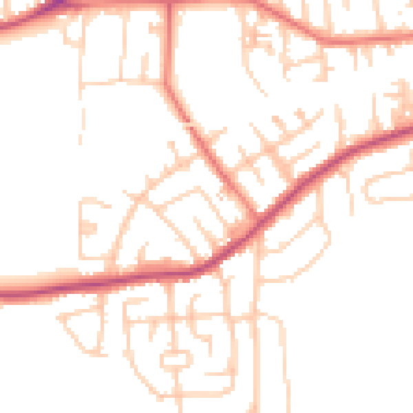
Daytime· 07:00 – 23:00
49.9dB

Night-time· 23:00 – 07:00
40.5dB