1 Bromley Avenue, Urmston, Manchester, M41 6HZ
About 1 Bromley Avenue
1 Bromley Avenue is a three-bedroom detached house in Urmston, Manchester, Manchester (M41 6HZ). It has a recorded floor area of 104 m² (around 1119 sq ft), construction records dating it to 1976-1982 and council tax band D. The latest certificate (April 2012) shows a C (score 69), just inside the C band. The recommended improvements would push it to B (score 83). The latest certificate is from April 2012, so improvements made since then won't be reflected.
Held since December 1998 — that's 27 years off the open market, well above the local norm. Only one transfer is on record with HM Land Registry, suggesting it has stayed in the same hands for a long time. Today's modelled estimate of £364,000 sits 401% above the 1998 sale of £72,650. On a £-per-square-foot basis, the last sale (£65/sq ft) was about 55.7% below the postcode norm. Its energy rating outperforms most of the postcode (better than 86% of similar EPCs).
What this property has
Inside
- Bedrooms3
- Bathrooms1
- Dining roomYes
- CloakroomYes
Outside
- Private gardenRear
- GarageYes
Building
- Heating systemGas
- RefurbishedYes
Everything you need to know about 1 Bromley Avenue
The true value, the hidden risks and the full sale history, in one report.
Pick your report · every report is £14.99
One time fee only - money back guarantee

The data behind every report


Energy performance
1 Bromley Avenue's EPC is over a decade old — improvements since won't be reflected.
EPC Expired
This certificate is over 10 years old and is no longer valid.Expired 26 Apr 2022
EPC Rating
Get a survey for this property
Level 2 HomeBuyer Report
We've checked 10 risk factors against the available data for this property and believe a Level 2 HomeBuyer Report could be a suitable option for you.
From £595 · Includes VAT
Planning history
1 Bromley Avenue has no planning applications on record.
A planning report still maps activity across the surrounding area and reads this property's extension & conversion potential.
Sales history & valuation
1 Bromley Avenue's modelled value sits at over four times its earliest registered sale price (1998).
£364,000
Modelled from EPC, postcode comparables.
£72,650
Recorded with HM Land Registry.
Sales timeline
18 December 1998Most recent
£72,650
Median price across the last 5 sales in M41 6HZ: £325,000 (2025–2021).
Nearby sales in M41 6HZ
2 Bromley Avenue, Urmston, Manchester, M41 6HZ
Sold Mar 2025
£240,00027 Bromley Avenue, Urmston, Manchester, M41 6HZ
Sold Oct 2024
£325,00025 Bromley Avenue, Urmston, Manchester, M41 6HZ
Sold Mar 2023
£335,00011 Bromley Avenue, Urmston, Manchester, M41 6HZ
Sold Apr 2022
£330,00051 Bromley Avenue, Urmston, Manchester, M41 6HZ
Sold Mar 2021
£268,000
Versus other Bromley Avenue homes
1 Bromley Avenue is notably below the street on price per m².
Price per m²
£699
Street avg £2,404
Floor Area
104 m²
Street avg 102 m²
Habitable Rooms
5 rooms
Street avg 5 rooms
CO₂ Emissions
3.5 t/year
Street avg 4.5 t/year
Everything you need to know about 1 Bromley Avenue
The true value, the hidden risks and the full sale history, in one report.
Pick your report · every report is £14.99
One time fee only - money back guarantee
The data behind every report
Similar properties nearby
1 Braemar Avenue, Urmston
M41 6HP
1 Cambridge Road, Urmston
M41 6HH
1 Compton Close, Urmston
M41 6WG
1 Hampstead Avenue, Urmston
M41 6HY
1 Devon Road, Urmston
M41 6PN
1 Deanway, Urmston
M41 6WB
1 Arundel Avenue, Urmston
M41 6NQ
1 Chelsea Road, Urmston
M41 6NF
The neighbourhood at a glance
Rail-style transport is unusually close for this postcode.
Crime
1/mo
Steady year-on-year across the wider district.
Nearest stop
0.1 km
Church Road — bus stop.
Closest school
0.3 km
St Michael's CofE (Aided) Primary School. 19 schools nearby.
Go deeper on the local area
A Local Area report breaks down crime, transport links, schools and air quality in depth.
Road noise across the postcode
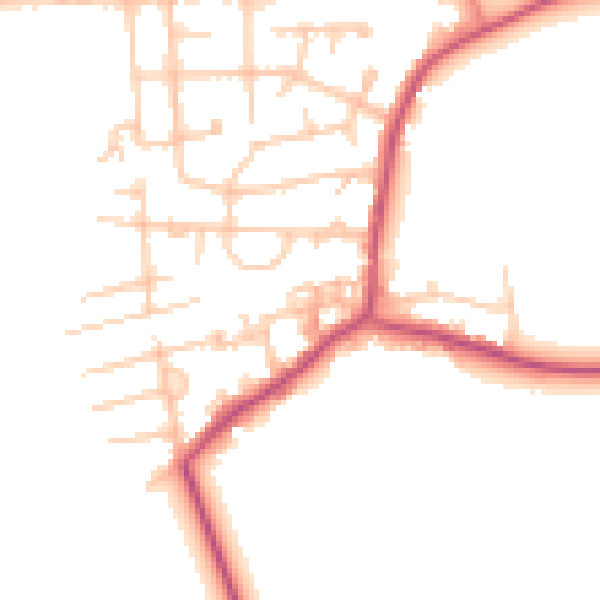
Daytime· 07:00 – 23:00
48.8dB

Night-time· 23:00 – 07:00
40.5dB