1 Hereford Grove, Urmston, Manchester, M41 5AJ
About 1 Hereford Grove
1 Hereford Grove is a three-bedroom detached house in Urmston, Manchester, Manchester (M41 5AJ). It has a recorded floor area of 90 m² (around 969 sq ft), construction records dating it to 1900-1929 and council tax band B. The latest certificate (February 2014) shows an E (score 53), well below the UK norm with real room to improve. The recommended improvements would lift it to B (score 84), a 3-band jump. The latest certificate is from February 2014, so improvements made since then won't be reflected.
Across 1995–2014, sale prices on this property compounded at 10.4% per year. Today's modelled estimate of £303,000 sits 78.3% above the 2014 sale of £169,950. Last changed hands 12 years ago, in April 2014. Across the public record there are 5 sales, relatively high churn for a single property. It lags the bulk of the postcode on energy efficiency (less efficient than 86% of similar EPCs).
What this property has
Inside
- Bedrooms3
Everything you need to know about 1 Hereford Grove
The true value, the hidden risks and the full sale history, in one report.
Pick your report · every report is £14.99
One time fee only - money back guarantee

The data behind every report


Energy performance
Recommended upgrades on file would lift this property by multiple EPC bands.
EPC Expired
This certificate is over 10 years old and is no longer valid.Expired 11 Feb 2024
EPC Rating
Get a survey for this property
Level 3 Building Survey
Because the property was built before 1919 and has solid (non-cavity) walls, we believe a Level 3 building survey should be considered.
From £955 · Includes VAT
Planning history
1 Hereford Grove has no planning applications on record.
But the area is active
2 notable applications nearby — larger schemes and conversions that could reshape the street. The report maps them all.
Sales history & valuation
Price for 1 Hereford Grove has grown more than fourfold since the 1995 starting point.
£303,000
Modelled from EPC, postcode comparables and a sale-price growth of 10.4% per year over 19 years.
£169,950
Growth on file: 10.4% per year over 19 years.
Sales timeline
3 April 2014Most recent
£169,950
+41.7%over 7 years12 October 2006
£119,950
+32.5%over 4 years22 March 2002
£90,500
+11.0%over 1 year7 June 2000
£81,500
+213.5%over 5 years25 April 1995
£26,000
Median price across the last 5 sales in M41 5AJ: £317,000 (2023–2019).
Nearby sales in M41 5AJ
15 Hereford Grove, Urmston, Manchester, M41 5AJ
Sold Dec 2023
£360,0003 Hereford Grove, Urmston, Manchester, M41 5AJ
Sold Aug 2021
£317,00013 Hereford Grove, Urmston, Manchester, M41 5AJ
Sold Dec 2020
£300,00019 Hereford Grove, Urmston, Manchester, M41 5AJ
Sold Oct 2019
£328,0009 Hereford Grove, Urmston, Manchester, M41 5AJ
Sold Sept 2019
£288,000
Versus other Hereford Grove homes
1 Hereford Grove is notably below the street on price per m².
Price per m²
£1,888
Street avg £2,998
Floor Area
90 m²
Street avg 97 m²
Habitable Rooms
4 rooms
Street avg 5 rooms
CO₂ Emissions
5.4 t/year
Street avg 4.8 t/year
Everything you need to know about 1 Hereford Grove
The true value, the hidden risks and the full sale history, in one report.
Pick your report · every report is £14.99
One time fee only - money back guarantee
The data behind every report
Similar properties nearby
1 Clifton Road, Urmston
M41 5RU
1 Barton Avenue, Urmston
M41 5PS
1 Grosvenor Road, Urmston
M41 5AG
1 Handel Avenue, Urmston
M41 5PG
1 Chassen Avenue, Urmston
M41 5DS
1 Finghall Road, Urmston
M41 5BT
1 Delamere Road, Urmston
M41 5GL
1 Glenhaven Avenue, Urmston
M41 5BN
The neighbourhood at a glance
Rail-style transport is unusually close for this postcode.
Crime
1/mo
Steady year-on-year across the wider district.
Nearest stop
0.1 km
Newton Road — bus stop.
Closest school
0.1 km
Urmston Primary School. 25 schools nearby.
Go deeper on the local area
A Local Area report breaks down crime, transport links, schools and air quality in depth.
Road noise across the postcode
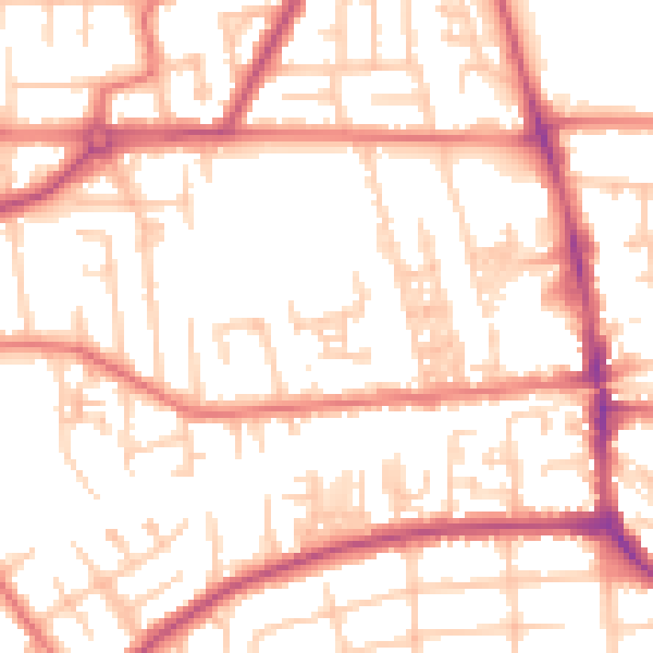
Daytime· 07:00 – 23:00
53.6dB

Night-time· 23:00 – 07:00
43.3dB