9 Gibson Grove, Worsley, Manchester, M28 0BH
About 9 Gibson Grove
9 Gibson Grove is a two-bedroom mid-terrace house in Worsley, Manchester, Manchester (M28 0BH). It has a recorded floor area of 95 m² (around 1023 sq ft), construction records dating it to 1950-1966 and council tax band A. Tenure is freehold. The latest certificate (May 2015) shows an E (score 40), well below the UK norm with real room to improve. The recommended improvements would push it to D (score 67). The latest certificate is from May 2015, so improvements made since then won't be reflected.
At 95 m² it's 22.6% larger than the typical home in the postcode (78 m² median across 12 EPCs). On energy efficiency it sits in the bottom 10% of properties in this postcode — significant headroom for improvement. Across 2004–2015, sale prices on this property compounded at 1.8% per year. Today's modelled estimate of £147,000 sits 119.4% above the 2015 sale of £67,000. On a £-per-square-foot basis, the last sale (£66/sq ft) was about 57.7% below the postcode norm. Last sold in June 2015, so it's been off the market for around 11 years.
What this property has
Inside
- Bedrooms2
Building
- TenureFreehold
Everything you need to know about 9 Gibson Grove
The true value, the hidden risks and the full sale history, in one report.
Pick your report · every report is £14.99
One time fee only - money back guarantee

The data behind every report


Energy performance
9 Gibson Grove sits at the bottom of the postcode for energy efficiency — meaningful headroom to improve.
EPC Expired
This certificate is over 10 years old and is no longer valid.Expired 10 May 2025
EPC Rating
Get a survey for this property
Level 2 HomeBuyer Report
We've checked 10 risk factors against the available data for this property and believe a Level 2 HomeBuyer Report could be a suitable option for you.
From £495 · Includes VAT
Planning history
9 Gibson Grove has no planning applications on record.
But the area is active
5 notable applications nearby — larger schemes and conversions that could reshape the street. The report maps them all.
Sales history & valuation
9 Gibson Grove valuation sits well clear of the typical sold price in this postcode.
£147,000
Modelled from EPC, postcode comparables and a sale-price growth of 1.8% per year over 11 years.
£67,000
Growth on file: 1.8% per year over 11 years.
Sales timeline
24 June 2015Most recent
£67,000
+1.9%over 9 years20 January 2006
£65,750
+19.5%over 1 year10 June 2004
£55,000
Median price across the last 5 sales in M28 0BH: £105,000 (2024–2006).
Nearby sales in M28 0BH
16 Gibson Grove, Worsley, Manchester, M28 0BH
Sold May 2024
£178,0007 Gibson Grove, Worsley, Manchester, M28 0BH
Sold Mar 2023
£165,00018 Gibson Grove, Worsley, Manchester, M28 0BH
Sold May 2017
£105,00014 Gibson Grove, Worsley, Manchester, M28 0BH
Sold Nov 2006
£53,00011 Gibson Grove, Worsley, Manchester, M28 0BH
Sold Jul 2005
£85,000
Versus other Gibson Grove homes
9 Gibson Grove is notably below the street on price per m².
Price per m²
£705
Street avg £1,883
Floor Area
95 m²
Street avg 83 m²
Habitable Rooms
2 rooms
Street avg 5 rooms
CO₂ Emissions
7.1 t/year
Street avg 3.2 t/year
Everything you need to know about 9 Gibson Grove
The true value, the hidden risks and the full sale history, in one report.
Pick your report · every report is £14.99
One time fee only - money back guarantee
The data behind every report
Similar properties nearby
1 Bickershaw Drive, Worsley
M28 0GG
1 Aspinall Grove, Worsley
M28 0LD
1 Courtyard Drive, Worsley
M28 0YR
1 Bowfell Close, Worsley
M28 0AN
1 Chapelfield Drive, Worsley
M28 0SU
1 Clock Tower Close, Worsley
M28 0YD
1 Barrowshaw Close, Worsley
M28 0GF
1 Hilton Bank, Worsley
M28 0RX
The neighbourhood at a glance
Nearest stop
0.2 km
Longshaw Drive — bus stop.
Closest school
0.1 km
Hilton Lane Primary School. 34 schools nearby.
Go deeper on the local area
A Local Area report breaks down crime, transport links, schools and air quality in depth.
Road noise across the postcode
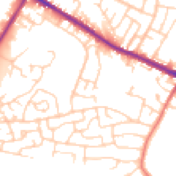
Daytime· 07:00 – 23:00
51.5dB

Night-time· 23:00 – 07:00
41.6dB