7 Cranbrook Drive, Prestwich, Manchester, M25 0JZ
About 7 Cranbrook Drive
7 Cranbrook Drive is a four-bedroom detached house in Prestwich, Manchester, Manchester (M25 0JZ). It has a recorded floor area of 287 m² (around 3089 sq ft), construction records dating it to 1930-1949 and council tax band E. The latest certificate (February 2019) shows a C (score 74). When first surveyed in June 2017 the rating was E, the property has climbed 2 bands since. Between certificates, roof efficiency went from Good to Very Good, window efficiency went from Poor to Average and lighting went from Average to Very Good. The recommended improvements would push it to B (score 81). Other recorded features include attached land beyond the plot. The home occupies a corner plot.
At 287 m² the property is well over the postcode median (137 m² across 7 EPCs), placing it in the larger end of the local stock. On energy efficiency it sits in the top 10% of properties in this postcode. Today's modelled estimate of £715,000 sits 83.3% above the 2017 sale of £390,000. On a £-per-square-foot basis, the last sale (£126/sq ft) was about 25.5% below the postcode norm. 2 planning records sit against the property, 2 approved, 0 refused. Past consents include an extension, meaningful when judging how the property has evolved. Last changed hands 9 years ago, in October 2017.
What this property has
Inside
- Bedrooms4
- Bathrooms2
- Dining roomYes
- EnsuiteYes
Outside
- Private gardenYes
- GarageDouble
- LandYes
- Corner plotYes
Everything you need to know about 7 Cranbrook Drive
The true value, the hidden risks and the full sale history, in one report.
Pick your report · every report is £14.99
One time fee only - money back guarantee

The data behind every report


Energy performance
7 Cranbrook Drive ranks among the most efficient homes in the postcode for energy use.
EPC Rating
Property Improvements
Changes detected from historical EPC data
Windows upgraded, improving insulation
Loft insulation upgraded to recommended levels
More low energy lighting installed
Get a survey for this property
Level 3 Building Survey
Because the property has been extended more than once, we believe a Level 3 building survey should be considered.
From £1,220 · Includes VAT
Planning history
2 applications on record at 7 Cranbrook Drive, Prestwich, Manchester, M25 0JZ
- Dec 2017ExtensionFullOutcome in report
Extension: Side and rear of property
Two storey extension at side and rear and single storey extension at rear; External alterations including render to front elevation
- Documents
- 9 docs on file
- Reference
- 62121
- More recent applications — locked
- FullMar 2018Decision
Unlock 7 Cranbrook Drive, Prestwich, Manchester, M25 0JZ's full planning history
You're seeing the shape of it. The report has the substance.
- Every decision — granted, refused or withdrawn (2 on record)
- All 2 applications on this property in full
- The 20 documents, officer reports & conditions
- What the pattern means for extending or converting here
One time fee only - money back guarantee
Sales history & valuation
7 Cranbrook Drive valuation sits well clear of the typical sold price in this postcode.
£715,000
Modelled from EPC, postcode comparables.
£390,000
Recorded with HM Land Registry.
Sales timeline
15 October 2017Most recent
£390,000
Median price across the last 5 sales in M25 0JZ: £310,000 (2022–2017).
Nearby sales in M25 0JZ
12 Cranbrook Drive, Prestwich, Manchester, M25 0JZ
Sold Nov 2022
£450,0001 Cranbrook Drive, Prestwich, Manchester, M25 0JZ
Sold Oct 2019
£307,5002 Cranbrook Drive, Prestwich, Manchester, M25 0JZ
Sold Jun 2018
£180,9688 Cranbrook Drive, Prestwich, Manchester, M25 0JZ
Sold Oct 2017
£310,00014 Cranbrook Drive, Prestwich, Manchester, M25 0JZ
Sold May 2017
£390,000
Versus other Cranbrook Drive homes
7 Cranbrook Drive outperforms the street on epc rating by a wide margin.
Price per m²
£1,359
Street avg £2,154
Floor Area
287 m²
Street avg 132 m²
Habitable Rooms
10 rooms
Street avg 6 rooms
CO₂ Emissions
7.7 t/year
Street avg 7.4 t/year
Everything you need to know about 7 Cranbrook Drive
The true value, the hidden risks and the full sale history, in one report.
Pick your report · every report is £14.99
One time fee only - money back guarantee
The data behind every report
Similar properties nearby
1 Castle Hill Road, Prestwich
M25 0FR
1 Breeze Mount, Prestwich
M25 0AH
1 Canterbury Drive, Prestwich
M25 0HY
1 Carlton Avenue, Prestwich
M25 0EB
1 Fort Road, Prestwich
M25 0HA
1 Craigwell Road, Prestwich
M25 0EF
1 Hartley Avenue, Prestwich
M25 0AT
1 Hardman Avenue, Prestwich
M25 0HB
The neighbourhood at a glance
Rail-style transport is unusually close for this postcode.
Nearest stop
0.3 km
Crescent Avenue — bus stop.
Closest school
0.3 km
Sedgley Park Community Primary School. 39 schools nearby.
Go deeper on the local area
A Local Area report breaks down crime, transport links, schools and air quality in depth.
Road noise across the postcode
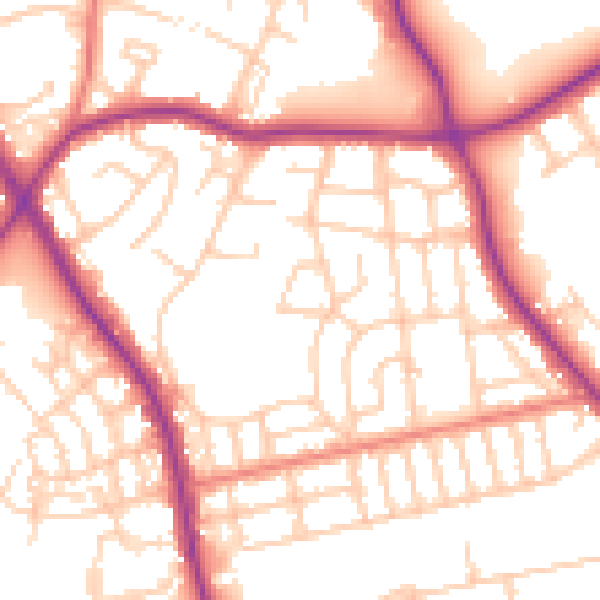
Daytime· 07:00 – 23:00
53.8dB

Night-time· 23:00 – 07:00
44.0dB