29 Longford Road, Chorlton Cum Hardy, Manchester, M21 9WP
About 29 Longford Road
29 Longford Road is a three-bedroom property in Chorlton Cum Hardy, Manchester, Manchester (M21 9WP). It has council tax band B.
Untraded for 19 years, with the last transfer in May 2007. That sale landed at the peak of the pre-credit-crunch market, which is a useful reference point when interpreting the price. 7 planning records sit against the property, 6 approved, 1 refused. Past consents include an extension and partial demolition, meaningful when judging how the property has evolved.
Know exactly what you're buying at 29 Longford Road
Before you offer, see what the listing won't tell you, the true value, the red flags and the full history.
Already flagged here
Valuation
against the asking price
Risks
planning & flood
Sold prices
similar homes nearby
Trends
the local market
What this property has
Inside
- Bedrooms3
- Dining roomYes
- EnsuiteYes
Outside
- Private gardenRear
- ParkingOff road
Building
- Heating systemGas
- RefurbishedYes
Energy performance
No EPC on record
This property doesn't have an Energy Performance Certificate yet. An EPC is required to sell or let — and unlocks our automated valuation.
Planning history
Planning history includes recorded demolition works, indicating a major rebuild phase at this address.
- Dec 2020ConditionsIn report
Discharge of Condition 3 (materials - change to roof tile) attached to planning permission 127182/JO/2020
- Documents
- 6 docs on file
- Reference
- CDN/20/0733
- Nov 2020ConditionsIn report
Discharge of condition 3 (materials) attached to planning permission 127182/JO/2020
- Documents
- 2 docs on file
- Reference
- CDN/20/0673
We flagged 1 thing worth checking at 29 Longford Road
Independent checks surfaced things a buyer would want to understand before offering. The report explains each one in full, with the underlying data and what to ask.
- Larger development activity nearby
30-day money-back guarantee
Sales history & valuation
The latest sale landed at the peak of the pre-credit-crunch market — a high-water reference point.
£215,000
Recorded with HM Land Registry.
Sales timeline
10 May 2007Most recent
£215,000
Median price across the last 5 sales in M21 9WP: £435,000 (2025–2024).
Nearby sales in M21 9WP
27 Longford Road, Chorlton Cum Hardy, Manchester, M21 9WP
Sold Oct 2025
£510,50023 Longford Road, Chorlton Cum Hardy, Manchester, M21 9WP
Sold May 2025
£359,00053 Longford Road, Chorlton Cum Hardy, Manchester, M21 9WP
Sold Sept 2024
£595,00013 Longford Road, Chorlton Cum Hardy, Manchester, M21 9WP
Sold Jun 2024
£415,00017 Longford Road, Chorlton Cum Hardy, Manchester, M21 9WP
Sold Jun 2024
£435,000
Everything we know about 29 Longford Road, in one report
What it's really worth, what could be wrong, and the planning, sales and area data in full.
What we flagged
- Larger development activity nearby

Similar properties nearby
The neighbourhood at a glance
Rail-style transport is unusually close for this postcode.
Nearest stop
0.3 km
Chorlton Library — bus stop.
Closest school
0.1 km
St John's RC Primary School. 37 schools nearby.
Go deeper on the local area
The full report breaks down crime, transport links, schools and air quality in depth.
Road noise across the postcode
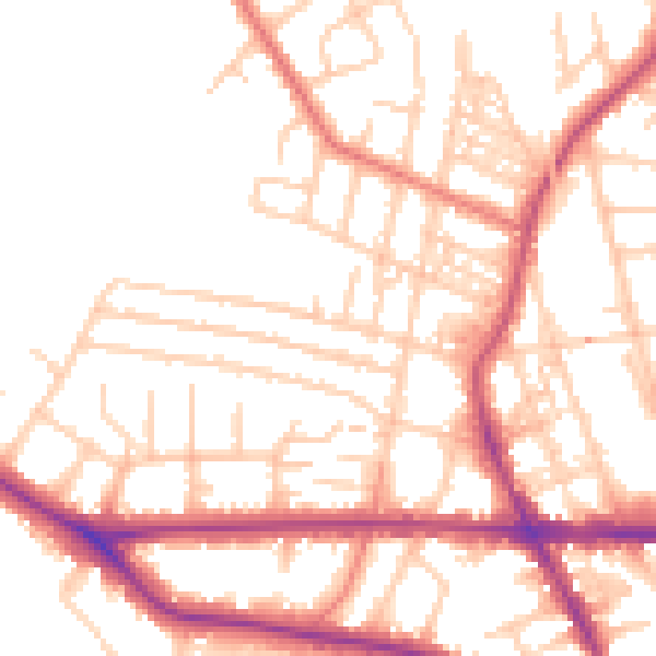
Daytime· 07:00 – 23:00
52.7dB

Night-time· 23:00 – 07:00
42.9dB