126 Nicolas Road, Chorlton Cum Hardy, Manchester, M21 9LT
About 126 Nicolas Road
126 Nicolas Road is a four-bedroom semi-detached house in Chorlton Cum Hardy, Manchester, Manchester (M21 9LT). It has a recorded floor area of 116 m² (around 1251 sq ft), construction records dating it to 1900-1929 and council tax band C. The latest certificate (September 2011) shows an E (score 54), well below the UK norm with real room to improve. The recommended improvements would push it to D (score 55). The latest certificate is from September 2011, so improvements made since then won't be reflected.
Across 2004–2011, sale prices on this property compounded at 7.7% per year. Today's modelled estimate of £533,000 sits 82.2% above the 2011 sale of £292,500. On a £-per-square-foot basis, the last sale (£234/sq ft) was about 21.3% above the typical sold price in the postcode. 2 planning records sit against the property, 2 approved, 0 refused. Past consents include an extension and a loft conversion, meaningful when judging how the property has evolved. It lags the bulk of the postcode on energy efficiency (less efficient than 75% of similar EPCs). Last changed hands 15 years ago, in September 2011.
Know exactly what you're buying at 126 Nicolas Road
Before you offer, see what the listing won't tell you, the true value, the red flags and the full history.
Already flagged here
Valuation
against the asking price
Risks
planning & flood
Sold prices
similar homes nearby
Trends
the local market
What this property has
Inside
- Bedrooms4
Energy performance
126 Nicolas Road's carbon output runs well above what efficient homes in the postcode produce.
EPC Expired
This certificate is over 10 years old and is no longer valid.Expired 02 Sept 2021
EPC Rating
Planning history
Planning history includes both a loft conversion and an extension — the classic family-home expansion.
- Apr 2015ExtensionOutlineIn report
Extension: Single storey · Rear of property
Certificate of Lawful Proposed Development for the erection of single-storey rear extension
- Documents
- 4 docs on file
- Reference
- 108220/LP/2015/S1
- Jun 2014Loft ConversionOutlineIn report
Certificate of Proposed Lawful Development for the erection of a rear dormer
- Documents
- 6 docs on file
- Reference
- 105501/LP/2014/S1
We flagged 1 thing worth checking at 126 Nicolas Road
Independent checks surfaced things a buyer would want to understand before offering. The report explains each one in full, with the underlying data and what to ask.
- Larger development activity nearby
30-day money-back guarantee
Sales history & valuation
126 Nicolas Road's estimated value is more than triple its earliest registered sale price (2004).
£533,000
Modelled from EPC, postcode comparables and a sale-price growth of 7.7% per year over 7 years.
£292,500
Growth on file: 7.7% per year over 7 years.
Sales timeline
22 September 2011Most recent
£292,500
+21.9%over 5 years22 September 2005
£240,000
+35.6%over 9 months9 December 2004
£177,000
Median price across the last 5 sales in M21 9LT: £525,000 (2025–2021).
Nearby sales in M21 9LT
96 Nicolas Road, Chorlton Cum Hardy, Manchester, M21 9LT
Sold May 2025
£497,300146 Nicolas Road, Chorlton Cum Hardy, Manchester, M21 9LT
Sold Jul 2023
£610,000118 Nicolas Road, Chorlton Cum Hardy, Manchester, M21 9LT
Sold Nov 2022
£525,000116 Nicolas Road, Chorlton Cum Hardy, Manchester, M21 9LT
Sold Sept 2022
£600,000122 Nicolas Road, Chorlton Cum Hardy, Manchester, M21 9LT
Sold Dec 2021
£435,000
Everything we know about 126 Nicolas Road, in one report
What it's really worth, what could be wrong, and the planning, sales and area data in full.
What we flagged
- Larger development activity nearby

Versus other Nicolas Road homes
EPC Rating for 126 Nicolas Road lags the street by a wide margin.
Price per m²
£2,517
Street avg £3,168
Floor Area
116 m²
Street avg 124 m²
Habitable Rooms
6 rooms
Street avg 6 rooms
CO₂ Emissions
6.3 t/year
Street avg 6.0 t/year
Similar properties nearby
The neighbourhood at a glance
Rail-style transport is unusually close for this postcode.
Nearest stop
0.3 km
Maidstone Avenue — bus stop.
Closest school
0.3 km
St John's RC Primary School. 36 schools nearby.
Go deeper on the local area
The full report breaks down crime, transport links, schools and air quality in depth.
Road noise across the postcode
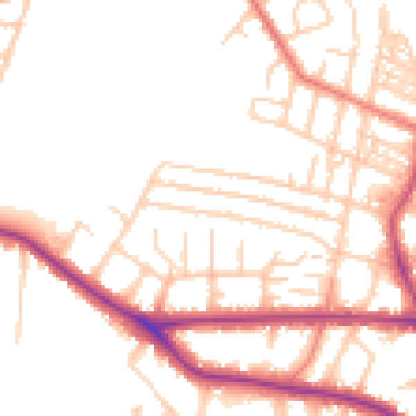
Daytime· 07:00 – 23:00
51.8dB

Night-time· 23:00 – 07:00
42.8dB