8 Stanley Grove, Chorlton Cum Hardy, Manchester, M21 9DT
About 8 Stanley Grove
8 Stanley Grove is a two-bedroom mid-terrace house in Chorlton Cum Hardy, Manchester, Manchester (M21 9DT). It has a recorded floor area of 56 m² (around 603 sq ft), construction records dating it to 1900-1929 and council tax band B. The latest certificate (November 2025) shows a D (score 65), on the cusp of jumping into the C band. The rating has held steady at D across 2 certificates since December 2008. Between certificates, window efficiency went from Very Poor to Average and lighting went from Average to Good. The recommended improvements would lift it to B (score 87), a 2-band jump. This certificate was lodged in the last six months, so the rating reflects current condition.
Untraded for 19 years, with the last transfer in June 2007. That sale landed at the peak of the pre-credit-crunch market, which is a useful reference point when interpreting the price. Across 1996–2007, sale prices on this property compounded at 10.7% per year. Today's modelled estimate of £333,000 sits 78.6% above the 2007 sale of £186,500. On a £-per-square-foot basis, the last sale (£309/sq ft) was about 56.4% above the typical sold price in the postcode.
Know exactly what you're buying at 8 Stanley Grove
Before you offer, see what the listing won't tell you, the true value, the red flags and the full history.
Already flagged here
Valuation
against the asking price
Risks
planning & flood
Sold prices
similar homes nearby
Trends
the local market
What this property has
Inside
- Bedrooms2
Outside
- Private gardenYes
- DrivewayYes
Building
- Central heatingYes
- RefurbishedYes
Energy performance
Recommended upgrades on file would lift this property by multiple EPC bands.
EPC Rating
Property Improvements
Changes detected from historical EPC data
Windows upgraded, improving insulation
More low energy lighting installed
Planning history
8 Stanley Grove has no planning applications on record.
Notable planning nearby
4applications of note in the surrounding area
We flagged 1 thing worth checking at 8 Stanley Grove
Independent checks surfaced things a buyer would want to understand before offering. The report explains each one in full, with the underlying data and what to ask.
- Larger development activity nearby
30-day money-back guarantee
Sales history & valuation
8 Stanley Grove has more than tripled in price since its earliest registered sale in 1996.
£333,000
Modelled from EPC, postcode comparables and a sale-price growth of 10.7% per year over 11 years.
£186,500
Growth on file: 10.7% per year over 11 years.
Sales timeline
4 June 2007Most recent
£186,500
+77.6%over 5 years8 August 2001
£105,000
+69.4%over 4 years15 August 1996
£62,000
Median price across the last 5 sales in M21 9DT: £284,800 (2023–2015).
Nearby sales in M21 9DT
11 Stanley Grove, Chorlton Cum Hardy, Manchester, M21 9DT
Sold Nov 2023
£309,20016 Stanley Grove, Chorlton Cum Hardy, Manchester, M21 9DT
Sold Dec 2020
£295,00018 Stanley Grove, Chorlton Cum Hardy, Manchester, M21 9DT
Sold Sept 2018
£284,80013 Stanley Grove, Chorlton Cum Hardy, Manchester, M21 9DT
Sold Apr 2018
£262,50017 Stanley Grove, Chorlton Cum Hardy, Manchester, M21 9DT
Sold Sept 2014
£240,000
Everything we know about 8 Stanley Grove, in one report
What it's really worth, what could be wrong, and the planning, sales and area data in full.
What we flagged
- Larger development activity nearby

Versus other Stanley Grove homes
Habitable Rooms for 8 Stanley Grove runs comfortably ahead of the street norm.
Price per m²
£3,330
Street avg £3,328
Floor Area
56 m²
Street avg 60 m²
Habitable Rooms
4 rooms
Street avg 4 rooms
CO₂ Emissions
2.4 t/year
Street avg 3.0 t/year
Similar properties nearby
1 Attercliffe Road
M21 9FS
1 Belgravia Gardens
M21 9JJ
1 Chequers Road
M21 9DX
1 Hammett Road
M21 9HY
1 Halstead Avenue
M21 9FT
1 Albemarle Road
M21 9HX
1 Beech Mews, Beech Road
M21 9EQ
1 Copgrove Road
M21 9FP
The neighbourhood at a glance
Rail-style transport is unusually close for this postcode.
Nearest stop
0.1 km
Chorlton Green — bus stop.
Closest school
0.2 km
Chorlton CofE Primary School. 38 schools nearby.
Go deeper on the local area
The full report breaks down crime, transport links, schools and air quality in depth.
Road noise across the postcode
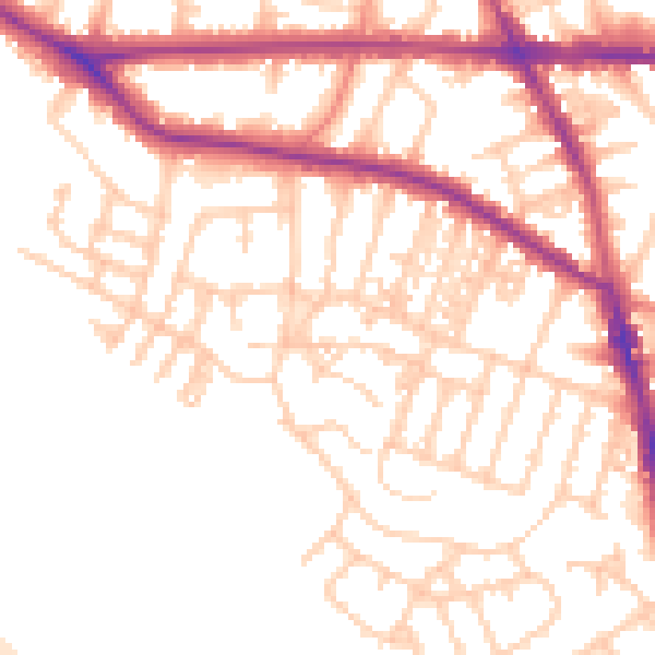
Daytime· 07:00 – 23:00
54.3dB

Night-time· 23:00 – 07:00
45.0dB