23 Danesmoor Road, Manchester, M20 3JT
About 23 Danesmoor Road
23 Danesmoor Road is a four-bedroom property in Manchester (M20 3JT). It has council tax band F. Other recorded features include a basement and a loft. Period features are noted in the property record.
Held since June 2009 — that's 17 years off the open market, well above the local norm. That sale fell during the post-crash dip, which often skews comparisons against later neighbouring sales. 2 planning records sit against the property, 1 approved, 0 refused. Past consents include an extension, meaningful when judging how the property has evolved.
What this property has
Inside
- Bedrooms4
- Open-plan layoutYes
- Dining roomYes
- LoftYes
- BasementYes
Building
- Period featuresYes
Everything you need to know about 23 Danesmoor Road
The true value, the hidden risks and the full sale history, in one report.
Pick your report · every report is £14.99
One time fee only - money back guarantee

The data behind every report


Energy performance
No EPC on record
This property doesn't have an Energy Performance Certificate yet. An EPC is required to sell or let — and unlocks our automated valuation.
Get a survey for this property
Level 2 HomeBuyer Report
We've checked 10 risk factors against the available data for this property and believe a Level 2 HomeBuyer Report could be a suitable option for you.
Planning history
2 applications on record at 23 Danesmoor Road, Manchester, M20 3JT
- Jun 2015ExtensionFullOutcome in report
Erection of dormer to the rear and elevational alterations to the side elevation (increase in the size of one window)
- Documents
- 8 docs on file
- Reference
- 108796/FH/2015/S2
- More recent applications — locked
- Tree WorksOct 2016Decision
Unlock 23 Danesmoor Road, Manchester, M20 3JT's full planning history
You're seeing the shape of it. The report has the substance.
- Every decision — granted, refused or withdrawn (2 on record)
- All 2 applications on this property in full, plus 20 notable nearby
- The 11 documents, officer reports & conditions
- What the pattern means for extending or converting here
One time fee only - money back guarantee
Sales history & valuation
The latest sale fell during the post-2008 dip, often a low-water mark in price comparisons.
£430,000
Recorded with HM Land Registry.
Sales timeline
25 June 2009Most recent
£430,000
Median price across the last 5 sales in M20 3JT: £572,000 (2021–2010).
Nearby sales in M20 3JT
Everything you need to know about 23 Danesmoor Road
The true value, the hidden risks and the full sale history, in one report.
Pick your report · every report is £14.99
One time fee only - money back guarantee
The data behind every report
Similar properties nearby
1 Cromer Avenue
M20 3DR
1 Hough Road
M20 3HU
1 Holmwood Road
M20 3JY
1 Lawnside Mews, Palatine Road
M20 3YD
1 Brooklawn Drive
M20 3GY
1 Lausanne Road
M20 3EU
1 Everett Road
M20 3DW
1 Holly Royde Close
M20 3HR
The neighbourhood at a glance
Rail-style transport is unusually close for this postcode.
Nearest stop
0.1 km
Central Road — bus stop.
Closest school
0.2 km
West Didsbury CE Primary School. 43 schools nearby.
Go deeper on the local area
A Local Area report breaks down crime, transport links, schools and air quality in depth.
Road noise across the postcode
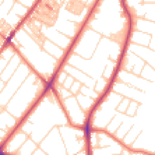
Daytime· 07:00 – 23:00
52.8dB

Night-time· 23:00 – 07:00
42.8dB