1 Bridgelea Road, Manchester, M20 3BJ
About 1 Bridgelea Road
1 Bridgelea Road is a six-bedroom end-of-terrace house in Manchester (M20 3BJ). It has a recorded floor area of 129 m² (around 1389 sq ft), construction records dating it to 1991-1995 and council tax band D. The latest certificate (December 2019) shows a C (score 70). The rating has held steady at C across 2 certificates since May 2009. Between certificates, lighting dropped from Average to Very Poor. The recommended improvements would push it to B (score 82).
Today's modelled estimate of £406,000 sits 56.2% above the 2018 sale of £260,000. On a £-per-square-foot basis, the last sale (£187/sq ft) was about 16.5% above the typical sold price in the postcode. 6 bedrooms is on the larger side for this postcode, where 4 is the typical count. Last sale on file: £260,000 in October 2018.
What this property has
Inside
- Bedrooms6
- Bathrooms3
Everything you need to know about 1 Bridgelea Road
The true value, the hidden risks and the full sale history, in one report.
Pick your report · every report is £14.99
One time fee only - money back guarantee

The data behind every report


Energy performance
EPC Rating
Get a survey for this property
Level 2 HomeBuyer Report
We've checked 10 risk factors against the available data for this property and believe a Level 2 HomeBuyer Report could be a suitable option for you.
From £695 · Includes VAT
Planning history
1 Bridgelea Road has no planning applications on record.
But the area is active
20 notable applications nearby — larger schemes and conversions that could reshape the street. The report maps them all.
Sales history & valuation
1 Bridgelea Road valuation sits well clear of the typical sold price in this postcode.
£406,000
Modelled from EPC, postcode comparables.
£260,000
Recorded with HM Land Registry.
Sales timeline
11 October 2018Most recent
£260,000
Median price across the last 5 sales in M20 3BJ: £266,000 (2019–2017).
Nearby sales in M20 3BJ
Versus other Bridgelea Road homes
Price per m²
£2,016
Street avg £1,801
Floor Area
129 m²
Street avg 133 m²
Habitable Rooms
8 rooms
Street avg 8 rooms
CO₂ Emissions
4.1 t/year
Street avg 4.0 t/year
Everything you need to know about 1 Bridgelea Road
The true value, the hidden risks and the full sale history, in one report.
Pick your report · every report is £14.99
One time fee only - money back guarantee
The data behind every report
Similar properties nearby
The neighbourhood at a glance
Nearest stop
0.1 km
Wilmslow Road — bus stop.
Closest school
0.2 km
St Paul's CofE Primary School. 46 schools nearby.
Go deeper on the local area
A Local Area report breaks down crime, transport links, schools and air quality in depth.
Road noise across the postcode
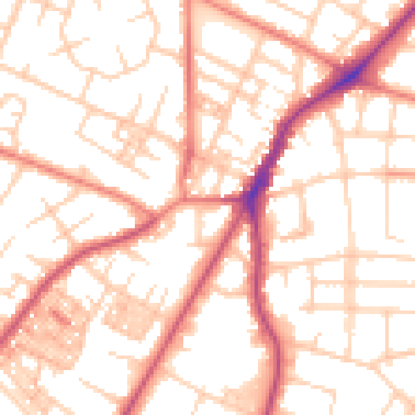
Daytime· 07:00 – 23:00
53.4dB

Night-time· 23:00 – 07:00
42.7dB