7 Herne Street, Manchester, M11 2AJ
About 7 Herne Street
7 Herne Street is a semi-detached house in Manchester (M11 2AJ). It has a recorded floor area of 78 m² (around 840 sq ft), construction records dating it to 1967-1975 and council tax band A. The latest certificate (July 2013) shows a D (score 62), on the cusp of jumping into the C band. The recommended improvements would push it to C (score 80). The latest certificate is from July 2013, so improvements made since then won't be reflected.
At 78 m² the property is well over the postcode median (55 m² across 5 EPCs), placing it in the larger end of the local stock.
Know exactly what you're buying at 7 Herne Street
Before you offer, see what the listing won't tell you, the true value, the red flags and the full history.
Valuation
against the asking price
Risks
planning & flood
Sold prices
similar homes nearby
Trends
the local market
Energy performance
7 Herne Street's EPC is over a decade old — improvements since won't be reflected.
EPC Expired
This certificate is over 10 years old and is no longer valid.Expired 31 Jul 2023
EPC Rating
Planning history
7 Herne Street has no planning applications on record.
Notable planning nearby
1applications of note in the surrounding area
Sales history & valuation
7 Herne Street has no Land Registry sales on file, suggesting it has stayed in the same hands since registration began.
£169,000
Modelled from EPC, postcode comparables.
No sales recorded with HM Land Registry
That can mean the property has never traded since the registry began publishing in 1995, was a new build that hasn't been registered yet, or is held in the same hands long-term.
Median price across the last 5 sales in M11 2AJ: £120,500 (2025–2010).
Nearby sales in M11 2AJ
Everything we know about 7 Herne Street, in one report
What it's really worth, what could be wrong, and the planning, sales and area data in full.
- Am I paying too much?
- Is something wrong with it?
- Is the agent's story true?
- Will it hold its value?

Versus other Herne Street homes
7 Herne Street outperforms the street on floor area by a wide margin.
EPC Rating
62 (D)
Street avg 63 (D)
Floor Area
78 m²
Street avg 55 m²
CO₂ Emissions
3.7 t/year
Street avg 2.8 t/year
Habitable Rooms
5 rooms
Street avg 4 rooms
Similar properties nearby
The neighbourhood at a glance
Rail-style transport is unusually close for this postcode.
Nearest stop
0.2 km
Grey Mare Lane — bus stop.
Closest school
0.3 km
Connell Co-Op College. 53 schools nearby.
Go deeper on the local area
The full report breaks down crime, transport links, schools and air quality in depth.
Road noise across the postcode
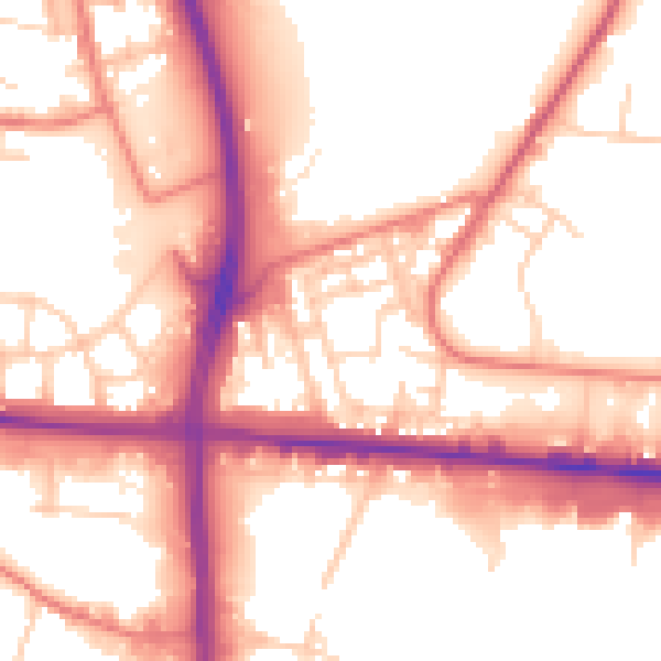
Daytime· 07:00 – 23:00
55.4dB

Night-time· 23:00 – 07:00
46.8dB