77 Ashcroft Road, Luton, LU2 9AX
About 77 Ashcroft Road
77 Ashcroft Road is a two-bedroom mid-terrace house in Luton (LU2 9AX). It has a recorded floor area of 72 m² (around 775 sq ft), construction records dating it to 1930-1949 and council tax band B. The latest certificate (January 2019) shows a D (score 67), on the cusp of jumping into the C band. Earlier certificates rated it C (November 2008); the latest reading is one band lower. Between certificates, lighting went from Poor to Very Good; while wall efficiency dropped from Good to Average and roof efficiency dropped from Good to Poor. The recommended improvements would lift it to B (score 85), a 2-band jump.
Untraded for 18 years, with the last transfer in August 2008. That sale landed at the peak of the pre-credit-crunch market, which is a useful reference point when interpreting the price. Today's modelled estimate of £270,000 sits 92.9% above the 2008 sale of £140,000.
What this property has
Inside
- Bedrooms2
- Bathrooms1
- Dining roomYes
Outside
- Private gardenYes
- GarageYes
Building
- Heating systemGas
- RefurbishedYes
Everything you need to know about 77 Ashcroft Road
The true value, the hidden risks and the full sale history, in one report.
30-day money-back guarantee

The data behind every report


Energy performance
Recommended upgrades on file would lift this property by multiple EPC bands.
EPC Rating
Property Improvements
Changes detected from historical EPC data
Heating controls changed
More low energy lighting installed
Planning history
77 Ashcroft Road has no planning applications on record.
Notable planning nearby
1applications of note in the surrounding area
Sales history & valuation
The latest sale landed at the peak of the pre-credit-crunch market — a high-water reference point.
£270,000
Modelled from EPC, postcode comparables.
£140,000
Recorded with HM Land Registry.
Sales timeline
3 August 2008Most recent
£140,000
Median price across the last 5 sales in LU2 9AX: £385,000 (2025–2023).
Nearby sales in LU2 9AX
Versus other Ashcroft Road homes
On floor area, 77 Ashcroft Road runs well behind the street norm.
Price per m²
£1,944
Street avg £6,147
Floor Area
72 m²
Street avg 116 m²
Habitable Rooms
4 rooms
Street avg 6 rooms
CO₂ Emissions
2.9 t/year
Street avg 5.6 t/year
Everything you need to know about 77 Ashcroft Road
The true value, the hidden risks and the full sale history, in one report.
30-day money-back guarantee
The data behind every report
Similar properties nearby
1 Chelsworth Close
LU2 9SU
1 Baylam Dell
LU2 9ST
1 Carteret Road
LU2 9JY
1 Barnston Close
LU2 9RZ
1 Byron Close, Ashcroft Road
LU2 9AE
1 Eastcott Close
LU2 9JP
1 Chertsey Close
LU2 9JD
1 Dovehouse Hill
LU2 9ES
The neighbourhood at a glance
Crime
6/mo
Steady year-on-year across the wider district.
Nearest stop
0.0 km
Walnut Close — bus stop.
Closest school
0.4 km
Stopsley Community Primary School. 25 schools nearby.
Go deeper on the local area
The full report breaks down crime, transport links, schools and air quality in depth.
Road noise across the postcode
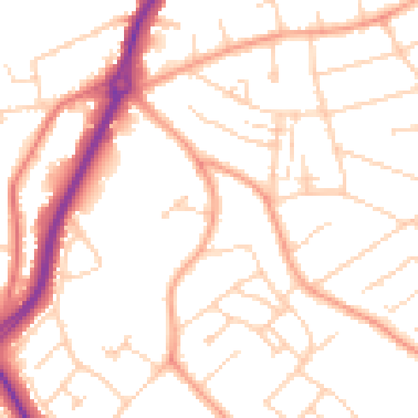
Daytime· 07:00 – 23:00
50.8dB

Night-time· 23:00 – 07:00
40.5dB