1 Byron Close, Ashcroft Road, Luton, LU2 9AE
About 1 Byron Close
1 Byron Close is a two-bedroom detached house in Luton (LU2 9AE). It has a recorded floor area of 49 m² (around 527 sq ft), construction records dating it to 2003-2006 and council tax band B. The latest certificate (October 2025) shows a C (score 75), near the top of the C band. The rating has held steady at C across 2 certificates since July 2015. Between certificates, window efficiency dropped from Good to Average. The recommended improvements would push it to B (score 89). The home occupies a corner plot.
At 49 m² it sits well below the postcode median (89 m² across 27 EPCs), making it one of the more compact homes locally. Across 2005–2015, sale prices on this property compounded at 4.1% per year. Today's modelled estimate of £312,000 is 30% above the 2015 sale price. On a £-per-square-foot basis, the last sale (£455/sq ft) was about 102.9% above the typical sold price in the postcode. Last sold in November 2015, so it's been off the market for around 11 years.
What this property has
Inside
- Bedrooms2
- Bathrooms1
- Dining roomYes
Outside
- ParkingOff road
- Corner plotYes
Everything you need to know about 1 Byron Close
The true value, the hidden risks and the full sale history, in one report.
30-day money-back guarantee

The data behind every report


Energy performance
1 Byron Close's carbon output is low for the local stock.
EPC Rating
Planning history
1 Byron Close has no planning applications on record.
Notable planning nearby
1applications of note in the surrounding area
Sales history & valuation
1 Byron Close valuation sits well clear of the typical sold price in this postcode.
£312,000
Modelled from EPC, postcode comparables and a sale-price growth of 4.1% per year over 10 years.
£239,995
Growth on file: 4.1% per year over 10 years.
Sales timeline
4 November 2015Most recent
£239,995
+50.9%over 10 years7 August 2005
£159,000
Median price across the last 5 sales in LU2 9AE: £260,000 (2024–2021).
Nearby sales in LU2 9AE
Versus other Ashcroft Road homes
On floor area, 1 Byron Close runs well behind the street norm.
Price per m²
£4,898
Street avg £2,933
Floor Area
49 m²
Street avg 91 m²
Habitable Rooms
3 rooms
Street avg 4 rooms
CO₂ Emissions
1.5 t/year
Street avg 4.0 t/year
Everything you need to know about 1 Byron Close
The true value, the hidden risks and the full sale history, in one report.
30-day money-back guarantee
The data behind every report
Similar properties nearby
The neighbourhood at a glance
Crime
6/mo
Steady year-on-year across the wider district.
Nearest stop
0.1 km
Marshall Road — bus stop.
Closest school
0.4 km
Queen Elizabeth School. 21 schools nearby.
Go deeper on the local area
The full report breaks down crime, transport links, schools and air quality in depth.
Road noise across the postcode
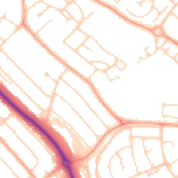
Daytime· 07:00 – 23:00
50.1dB

Night-time· 23:00 – 07:00
39.5dB