Skip to content

118 Ashcroft Road, Luton, LU2 9AX

Property type
Semi-detached
Habitable rooms
6
From EPC
Floor area
94 m²
1012 sq ft
Energy rating
D
Score 58
Council tax
Band D
Tenure
Owner Occupied
Overview

About 118 Ashcroft Road

A plain-English summary derived from public records, EPC certificates, sold prices and local data.

118 Ashcroft Road is a semi-detached house in Luton (LU2 9AX). It has a recorded floor area of 94 m² (around 1012 sq ft), construction records dating it to 1930-1949 and council tax band D. The latest certificate (September 2023) shows a D (score 58), a step below the typical UK home. The recommended improvements would lift it to B (score 84), a 2-band jump.

On a £-per-square-foot basis, the last sale (£381/sq ft) was about 109% above the typical sold price in the postcode. Last sale on file: £385,000 in February 2024.

Before you decide

Everything you need to know about 118 Ashcroft Road

The true value, the hidden risks and the full sale history, in one report.

£14.99one-off

30-day money-back guarantee

Preview of the full property report

The data behind every report

  • HM Land Registry, source of sold price history
  • Department for Education, source of schools data
  • Police.uk, source of crime statistics
  • Department for Transport, source of stations and transport links
  • Environment Agency, source of flood risk data
  • Department for Environment, Food & Rural Affairs, source of road noise data
  • PlanIt, source of planning application records
Energy

Energy performance

Every EPC certificate filed against this property — current rating, recorded improvements, and where there's headroom to reach a higher band.

Recommended upgrades on file would lift this property by multiple EPC bands.

EPC Rating

A
B
C
D
D58
E
F
G
Main Heating
Gas
Main Fuel
Gas
Hot Water
Good
Windows
Average
CO2 Emissions
5.1 t/year
Occupancy
Owner Occupied
Planning

Planning history

Applications and permits filed against 118 Ashcroft Road, Luton, LU2 9AX, sourced from the PlanIt planning register.

118 Ashcroft Road has no planning applications on record.

Notable planning nearby

1applications of note in the surrounding area

Price

Sales history & valuation

Recorded transactions, our model's current estimate, and a quick read on what neighbouring properties have sold for.

118 Ashcroft Road valuation sits well clear of the typical sold price in this postcode.

Current estimate

£378,000

Modelled from EPC, postcode comparables.

See how we calculated this
Last sold (2024)

£385,000

Recorded with HM Land Registry.

Sales timeline

  1. 23 February 2024Most recent

    £385,000

Median price across the last 5 sales in LU2 9AX: £352,750 (2025–2023).

On the street

Versus other Ashcroft Road homes

Four headline reads against 34 similar houses on this street, drawn from the latest EPC and Land Registry data.

Years Held for 118 Ashcroft Road lags the street by a wide margin.

Price per m²

£4,096

Street avg £6,070

Strongly above

Floor Area

94 m²

Street avg 116 m²

On par

Habitable Rooms

6 rooms

Street avg 6 rooms

Above

CO₂ Emissions

5.1 t/year

Street avg 5.5 t/year

On par
Before you decide

Everything you need to know about 118 Ashcroft Road

The true value, the hidden risks and the full sale history, in one report.

£14.99one-off

30-day money-back guarantee

Preview of the full property report

The data behind every report

  • HM Land Registry, source of sold price history
  • Department for Education, source of schools data
  • Police.uk, source of crime statistics
  • Department for Transport, source of stations and transport links
  • Environment Agency, source of flood risk data
  • Department for Environment, Food & Rural Affairs, source of road noise data
  • PlanIt, source of planning application records
Area

The neighbourhood at a glance

A condensed read of the local area. Each tile links through to the full breakdown on the Luton district page.

Crime

6/mo

Steady year-on-year across the wider district.

Nearest stop

0.0 km

Walnut Close — bus stop.

Closest school

0.4 km

Stopsley Community Primary School. 25 schools nearby.

Go deeper on the local area

The full report breaks down crime, transport links, schools and air quality in depth.

Noise

Road noise across the postcode

Modelled day and night-time noise levels around LU2 9AX from Defra's strategic mapping. The pin marks this postcode's centroid.
Daytime road noise heatmap for LU2 9AX

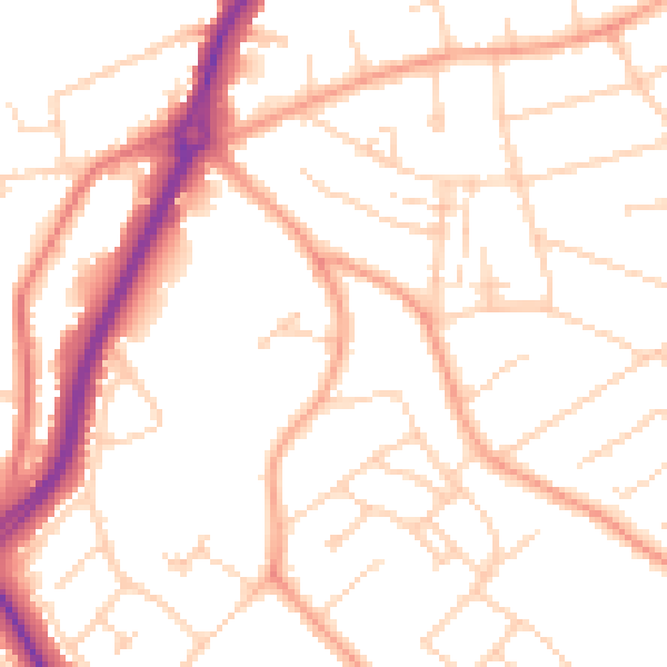
Daytime· 07:00 – 23:00

50.8dB

Low
Night-time road noise heatmap for LU2 9AX

Night-time· 23:00 – 07:00

40.5dB

Low
55 dB
60 dB
65 dB
70 dB
75 dB
80 dB
Defra Road Noise Strategic Mapping, Round 4
FAQ

Common questions

The questions buyers, sellers and homeowners most often ask about 118 Ashcroft Road, Luton, LU2 9AX. Each answer is also embedded as structured data for search engines.