Flat 5, 105 Ashcroft Road, Luton, LU2 9AX
About Flat 5
Flat 5 is a mid-terrace house in Luton (LU2 9AX). It has a recorded floor area of 60 m² (around 646 sq ft), construction records dating it to 1950-1966 and council tax band A. At 60 m² this is the 6th smallest of 7 units on EPC record in the building, where floor areas span 53–60 m². The building's EPC ratings span E to C, with this unit at the top. On EPC score it ranks first in the building (76 versus a worst of 47). The latest certificate (June 2024) shows a C (score 76), near the top of the C band.
At 60 m² it's 28.6% smaller than the typical home in the postcode (84 m² median across 45 EPCs). Its energy rating outperforms most of the postcode (better than 78% of similar EPCs). Today's modelled estimate of £182,000 is 10.3% above the 2024 sale price. On a £-per-square-foot basis, the last sale (£255/sq ft) was about 40.3% above the typical sold price in the postcode. Last sale on file: £165,000 in October 2024.
Everything you need to know about Flat 5
The true value, the hidden risks and the full sale history, in one report.
30-day money-back guarantee

The data behind every report


Energy performance
EPC Rating
Planning history
Flat 5 has no planning applications on record.
Notable planning nearby
1applications of note in the surrounding area
Sales history & valuation
£182,000
Modelled from EPC, postcode comparables.
£165,000
Recorded with HM Land Registry.
Sales timeline
9 October 2024Most recent
£165,000
Median price across the last 5 sales in LU2 9AX: £385,000 (2025–2023).
Versus other Ashcroft Road homes
Flat 5 is notably below the street on years held.
Price per m²
£2,750
Street avg £2,114
Floor Area
60 m²
Street avg 52 m²
Habitable Rooms
3 rooms
Street avg 3 rooms
CO₂ Emissions
1.8 t/year
Street avg 2.7 t/year
Everything you need to know about Flat 5
The true value, the hidden risks and the full sale history, in one report.
30-day money-back guarantee
The data behind every report
Similar properties nearby
Flat 8, 105 Ashcroft Road
LU2 9AX
Flat 1, 54 Moreton Road North
LU2 9DP
Flat 1, 105 Ashcroft Road
LU2 9AX
Tiber House, Flat 1, Wigmore Park Centre, Wigmore Lane
LU2 9DT
Tiber House, Flat 15, Wigmore Park Centre, Wigmore Lane
LU2 9DT
Flat 7, 105 Ashcroft Road
LU2 9AX
Tiber House, Flat 11, Wigmore Park Centre, Wigmore Lane
LU2 9DT
Tiber House, Flat 13, Wigmore Park Centre, Wigmore Lane
LU2 9DT
The neighbourhood at a glance
Crime
6/mo
Steady year-on-year across the wider district.
Nearest stop
0.0 km
Walnut Close — bus stop.
Closest school
0.4 km
Stopsley Community Primary School. 25 schools nearby.
Go deeper on the local area
The full report breaks down crime, transport links, schools and air quality in depth.
Road noise across the postcode
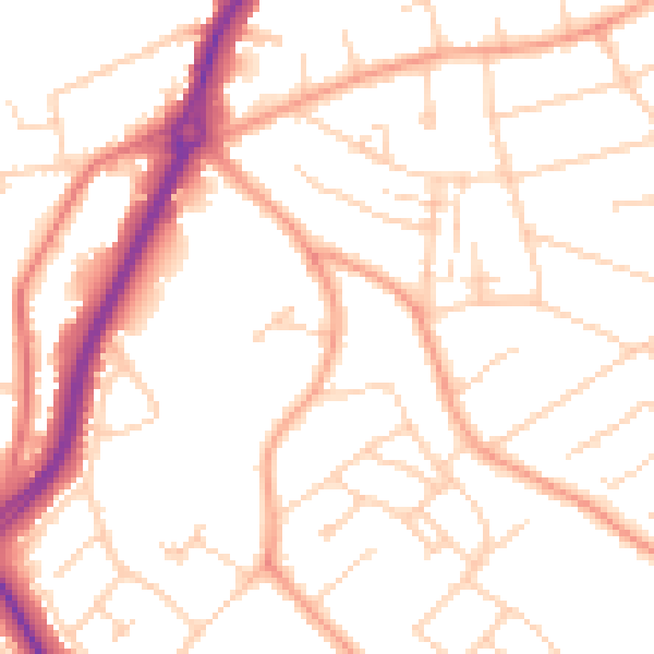
Daytime· 07:00 – 23:00
50.8dB

Night-time· 23:00 – 07:00
40.5dB