45 High Street, Eagle, Lincoln, LN6 9DG
About 45 High Street
45 High Street is a two-bedroom detached house in Eagle, Lincoln, Lincoln (LN6 9DG). It has a recorded floor area of 106 m² (around 1141 sq ft), construction records dating it to 2003-2006 and council tax band C. The latest certificate (October 2013) shows a C (score 75), near the top of the C band. The recommended improvements would push it to B (score 85). Main heating runs on oil. The latest certificate is from October 2013, so improvements made since then won't be reflected. Other recorded features include outbuildings. Records show the property has been extended at some point in its history.
2 planning records sit against the property, 2 approved, 0 refused. Past consents include an extension, meaningful when judging how the property has evolved. Its energy rating outperforms most of the postcode (better than 79% of similar EPCs). Across 2006–2020, sale prices on this property compounded at 7.8% per year. Today's modelled estimate of £368,000 is 13.2% above the 2020 sale price. On a £-per-square-foot basis, the last sale (£285/sq ft) was about 94.3% above the typical sold price in the postcode. Last sale on file: £325,000 in June 2020.
What this property has
Inside
- Bedrooms2
- Bathrooms2
- Open-plan layoutYes
- Dining roomYes
- EnsuiteYes
Outside
- DrivewayYes
- OutbuildingsYes
Building
- Previously extendedYes
Everything you need to know about 45 High Street
The true value, the hidden risks and the full sale history, in one report.
Pick your report · from £14.99
One time fee only - money back guarantee

The data behind every report





Energy performance
45 High Street's EPC is over a decade old — improvements since won't be reflected.
EPC Expired
This certificate is over 10 years old and is no longer valid.Expired 31 Oct 2023
EPC Rating
Certificate validity
Expired on 31 October 2023

Get a survey for this property
Level 3 Building Survey
Because the property has no mains gas supply and has permanent outbuildings, we believe a Level 3 building survey should be considered.
From £955 · Includes VAT
Planning history
45 High Street has been extended on multiple sides of the property across separate planning applications.
2 applications on record at 45 High Street, Eagle, Lincoln, LN6 9DG
- Sept 2006ExtensionFullOutcome in report
Extension: Single storey · Front of property
Single storey front extension
- Documents
- 5 docs on file
- Reference
- 06/0898/FUL
- More recent applications — locked
- ExtensionFeb 2016Decision
Unlock 45 High Street, Eagle, Lincoln, LN6 9DG's full planning history
You're seeing the shape of it. The report has the substance.
- Every decision — granted, refused or withdrawn (2 on record)
- All 2 applications on this property in full, plus 6 notable nearby
- The 21 documents, officer reports & conditions
- What the pattern means for extending or converting here
One time fee only - money back guarantee
Sales history & valuation
Sale price has at least doubled since 2006.
£368,000
Modelled from EPC, postcode comparables and a sale-price growth of 7.8% per year over 14 years.
£325,000
Growth on file: 7.8% per year over 14 years.
Sales timeline
14 June 2020Most recent
£325,000
+195.5%over 14 years30 January 2006
£110,000
Median price across the last 5 sales in LN6 9DG: £205,000 (2025–2024).
Nearby sales in LN6 9DG
54 High Street, Eagle, Lincoln, LN6 9DG
Sold Jul 2025
£195,00055 High Street, Eagle, Lincoln, LN6 9DG
Sold Jun 2024
£205,00048 High Street, Eagle, Lincoln, LN6 9DG
Sold Mar 2024
£210,00057 High Street, Eagle, Lincoln, LN6 9DG
Sold Feb 2024
£164,80031 High Street, Eagle, Lincoln, LN6 9DG
Sold Sept 2023
£546,000
Versus other High Street homes
EPC Rating for 45 High Street runs comfortably ahead of the street norm.
Price per m²
£3,066
Street avg £1,942
Floor Area
106 m²
Street avg 142 m²
Habitable Rooms
5 rooms
Street avg 6 rooms
CO₂ Emissions
3.7 t/year
Street avg 6.9 t/year
Everything you need to know about 45 High Street
The true value, the hidden risks and the full sale history, in one report.
Pick your report · from £14.99
One time fee only - money back guarantee
The data behind every report
Similar properties nearby
1 Brills Cottage, Brills Hill, Norton Disney
LN6 9JN
1 Beck Lane, South Hykeham
LN6 9PQ
1 Aurelius Way, North Hykeham
LN6 9DA
1 Bracken Road, Morton Hall
LN6 9HX
1 Alford Mill Close, North Hykeham
LN6 9QR
1 Bramble Way, Witham St Hughs
LN6 9WR
1 Bluebell Walk, Witham St Hughs
LN6 9WN
1 Antonius Way, North Hykeham
LN6 9AD
The neighbourhood at a glance
Daytime road noise here sits well below conversation level — a quiet pocket of the postcode.
Crime
429/mo
Steady year-on-year across the wider district.
Nearest stop
0.0 km
Post Office — bus stop.
Closest school
0.1 km
Eagle Community Primary School. 2 schools nearby.
Go deeper on the local area
A Local Area report breaks down crime, transport links, schools and air quality in depth.
Road noise across the postcode
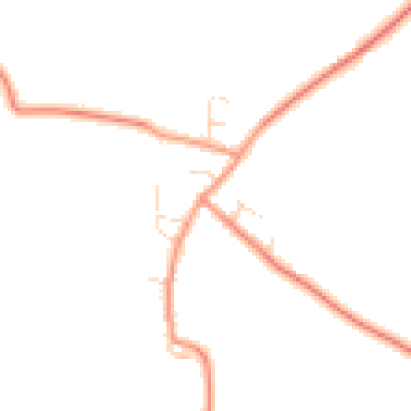
Daytime· 07:00 – 23:00
44.1dB

Night-time· 23:00 – 07:00
36.2dB