19 Albany Park Road, Leatherhead, KT22 7PA
About 19 Albany Park Road
19 Albany Park Road is a three-bedroom semi-detached house in Leatherhead (KT22 7PA). It has a recorded floor area of 85 m² (around 915 sq ft), construction records dating it to 1930-1949 and council tax band D. The latest certificate (August 2016) shows a D (score 55), a step below the typical UK home. The recommended improvements would lift it to B (score 82), a 2-band jump. Other recorded features include a conservatory.
2 planning records sit against the property, 2 approved, 0 refused. Past consents include an extension and a loft conversion, meaningful when judging how the property has evolved. Today's modelled estimate of £476,000 is 22.1% above the 2016 sale price. On a £-per-square-foot basis, the last sale (£426/sq ft) was about 63.9% above the typical sold price in the postcode. 10 years since the last transfer (November 2016).
Know exactly what you're buying at 19 Albany Park Road
Before you offer, see what the listing won't tell you, the true value, the red flags and the full history.
Already flagged here
Valuation
against the asking price
Risks
planning & flood
Sold prices
similar homes nearby
Trends
the local market
What this property has
Inside
- Bedrooms3
- Bathrooms1
- Dining roomYes
- CloakroomYes
- ConservatoryYes
Outside
- Private gardenRear
- ParkingOff road
Building
- Central heatingYes
Energy performance
Recommended upgrades on file would lift this property by multiple EPC bands.
EPC Rating
Planning history
Planning history includes both a loft conversion and an extension — the classic family-home expansion.
- Dec 2018ExtensionFullIn report
Extension: Single storey · Rear of property
Prior notification for the erection of a single storey rear extension of 4.5 metres deep by 3.6 metres high and a height at the eaves of 2.6 metres.
- Council
- North
- Documents
- 5 docs on file
- Reference
- MO/2018/1958
- Aug 2017Loft ConversionOutlineIn report
Certificate of Lawfulness for the proposed development in respect of a hip to gable loft conversion with rear dormer window, three roof lights and an alteration to a soil and vent pipe.
- Documents
- 8 docs on file
- Reference
- MO/2017/0964
We flagged 1 thing worth checking at 19 Albany Park Road
Independent checks surfaced things a buyer would want to understand before offering. The report explains each one in full, with the underlying data and what to ask.
- Larger development activity nearby
30-day money-back guarantee
Sales history & valuation
19 Albany Park Road valuation sits well clear of the typical sold price in this postcode.
£476,000
Modelled from EPC, postcode comparables.
£390,000
Recorded with HM Land Registry.
Sales timeline
25 November 2016Most recent
£390,000
Median price across the last 5 sales in KT22 7PA: £440,000 (2025–2021).
Nearby sales in KT22 7PA
11 Albany Park Road, Leatherhead, KT22 7PA
Sold Feb 2025
£440,00028 Albany Park Road, Leatherhead, KT22 7PA
Sold Jul 2023
£465,00031 Albany Park Road, Leatherhead, KT22 7PA
Sold Aug 2022
£526,00024 Albany Park Road, Leatherhead, KT22 7PA
Sold Jun 2021
£390,00012 Albany Park Road, Leatherhead, KT22 7PA
Sold Mar 2021
£420,000
Everything we know about 19 Albany Park Road, in one report
What it's really worth, what could be wrong, and the planning, sales and area data in full.
What we flagged
- Larger development activity nearby

Versus other Albany Park Road homes
19 Albany Park Road is notably below the street on co₂ emissions.
Price per m²
£4,588
Street avg £4,088
Floor Area
85 m²
Street avg 87 m²
Habitable Rooms
5 rooms
Street avg 5 rooms
CO₂ Emissions
4.9 t/year
Street avg 4.1 t/year
Similar properties nearby
1 Copthorne Road
KT22 7ED
1 Boleyn Walk
KT22 7HU
1 Barnett Close
KT22 7DW
1 Cressal Mead
KT22 7EA
1 By Pass Road
KT22 7BY
1 Cleeve Road
KT22 7NG
1 Gaveston Road
KT22 7NR
1 Farm Cottage, Randalls Road
KT22 7TH
The neighbourhood at a glance
Rail-style transport is unusually close for this postcode.
Crime
3/mo
Steady year-on-year across the wider district.
Nearest stop
0.1 km
All Saints School — bus stop.
Closest school
0.1 km
Therfield School. 10 schools nearby.
Go deeper on the local area
The full report breaks down crime, transport links, schools and air quality in depth.
Road noise across the postcode
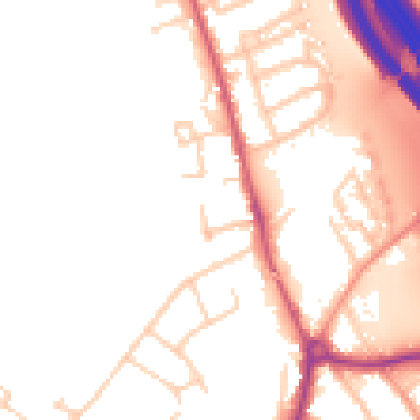
Daytime· 07:00 – 23:00
52.3dB

Night-time· 23:00 – 07:00
45.5dB