11 Coombe Neville, Kingston Upon Thames, KT2 7HW
About 11 Coombe Neville
11 Coombe Neville is a five-bedroom detached house in Kingston Upon Thames (KT2 7HW). It has a recorded floor area of 276 m² (around 2971 sq ft), construction records dating it to 1930-1949 and council tax band H. The latest certificate (September 2022) shows a D (score 67), on the cusp of jumping into the C band. The rating has held steady at D across 2 certificates since October 2012. Between certificates, roof efficiency went from Very Poor to Average and lighting went from Very Poor to Average. The recommended improvements would push it to C (score 80). Records show the property has been extended at some point in its history.
18 planning records sit against the property, 8 approved, 8 refused. Past consents include an extension, a loft conversion and tree works, meaningful when judging how the property has evolved. Across 2000–2023, sale prices on this property compounded at 5.6% per year. On a £-per-square-foot basis, the last sale (£862/sq ft) was about 64% above the typical sold price in the postcode. Last sale on file: £2,560,000 in August 2023.
What this property has
Inside
- Bedrooms5
- Bathrooms2
- Dining roomYes
- EnsuiteYes
Outside
- Private gardenYes
Building
- Previously extendedYes
Everything you need to know about 11 Coombe Neville
The true value, the hidden risks and the full sale history, in one report.
30-day money-back guarantee

The data behind every report


Energy performance
11 Coombe Neville's carbon output runs well above what efficient homes in the postcode produce.
EPC Rating
Property Improvements
Changes detected from historical EPC data
Roof insulation improved
More low energy lighting installed
Planning history
11 Coombe Neville has been through 8 approved planning applications — a well-evolved property.
- Sept 2015Tree WorksTreesIn report
T.1 Sorbus - Crown reduce canopy 20%, remove crossing branches and deadwood. T.2 Copper Beech - Crown reduce and thin canopy 20%. T.3 Poplar - Remove 2m off low hanging branch. T.4 Fir - Cut back one small branch.Refuse (grant lesser)
- Documents
- 1 doc on file
- Reference
- 15/14843/TPO
- Sept 2015Tree WorksTreesIn report
T.1 Sorbus - Crown reduce canopy 20%, remove crossing branches and deadwood. T.2 Copper Beech - Crown reduce and thin canopy 20%. T.3 Poplar - Remove 2m off low hanging branch. T.4 Fir - Cut back one small branch.Refuse (grant lesser)
- Council
- Maldens and Coombe
- Documents
- 1 doc on file
- Reference
- 15/14843
We flagged 2 things worth checking at 11 Coombe Neville
Independent checks surfaced things a buyer would want to understand before offering. The report explains each one in full, with the underlying data and what to ask.
- Signs of HMO activity in the area
- Larger development activity nearby
30-day money-back guarantee
Sales history & valuation
Sale price has grown by over 3x since 2000.
£2,592,000
Modelled from EPC, postcode comparables and a sale-price growth of 5.6% per year over 23 years.
£2,560,000
Growth on file: 5.6% per year over 23 years.
Sales timeline
21 August 2023Most recent
£2,560,000
+11.3%over 8 years9 September 2014
£2,300,000
+210.8%over 13 years12 October 2000
£740,000
Median price across the last 5 sales in KT2 7HW: £1,950,000 (2020–2002).
Nearby sales in KT2 7HW
7 Coombe Neville, Kingston Upon Thames, KT2 7HW
Sold Mar 2020
£2,670,00010 Coombe Neville, Kingston Upon Thames, KT2 7HW
Sold Aug 2012
£1,950,00012 Coombe Neville, Kingston Upon Thames, KT2 7HW
Sold Jul 2008
£2,025,0001 Coombe Neville, Kingston Upon Thames, KT2 7HW
Sold Jul 2002
£880,1008 Coombe Neville, Kingston Upon Thames, KT2 7HW
Sold May 2002
£875,000
Versus other Coombe Neville homes
11 Coombe Neville outperforms the street on price per m² by a wide margin.
Price per m²
£9,275
Street avg £6,269
Floor Area
276 m²
Street avg 301 m²
Habitable Rooms
10 rooms
Street avg 10 rooms
CO₂ Emissions
8.7 t/year
Street avg 11.0 t/year
Everything you need to know about 11 Coombe Neville
The true value, the hidden risks and the full sale history, in one report.
30-day money-back guarantee
The data behind every report
Similar properties nearby
The neighbourhood at a glance
Reported crime in the wider district is trending notably upward year-on-year.
Crime
5/mo
Rising year-on-year across the wider district.
Nearest stop
0.3 km
Traps Lane — bus stop.
Closest school
0.4 km
Coombe Hill Infant School. 30 schools nearby.
Go deeper on the local area
The full report breaks down crime, transport links, schools and air quality in depth.
Road noise across the postcode
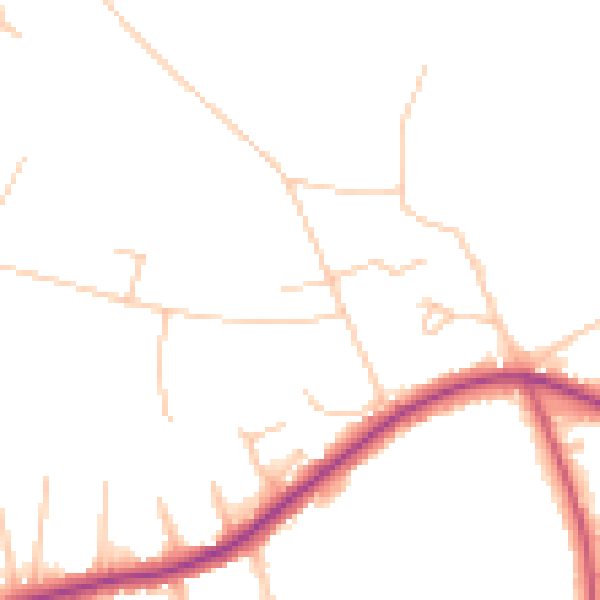
Daytime· 07:00 – 23:00
47.1dB

Night-time· 23:00 – 07:00
39.3dB