16 Hutland Road, Ipswich, IP4 4EZ
About 16 Hutland Road
16 Hutland Road is a three-bedroom end-of-terrace house in Ipswich (IP4 4EZ). It has a recorded floor area of 87 m² (around 936 sq ft), construction records dating it to 1900-1929 and council tax band B. The latest certificate (July 2015) shows a D (score 61), on the cusp of jumping into the C band. The rating has held steady at D across 4 certificates since February 2009. Between certificates, lighting went from Average to Good; while window efficiency dropped from Good to Average and hot-water efficiency dropped from Very Good to Good. The recommended improvements would lift it to B (score 86), a 2-band jump. The latest certificate is from July 2015, so improvements made since then won't be reflected.
Untraded for 25 years, with the last transfer in July 2001. Across 1995–2001, sale prices on this property compounded at 8.1% per year. Today's modelled estimate of £197,000 sits 189.7% above the 2001 sale of £68,000. On a £-per-square-foot basis, the last sale (£73/sq ft) was about 51% below the postcode norm.
What this property has
Inside
- Bedrooms3
Building
- Heating systemGas
- RefurbishedYes
Everything you need to know about 16 Hutland Road
The true value, the hidden risks and the full sale history, in one report.
Pick your report · every report is £14.99
One time fee only - money back guarantee

The data behind every report


Energy performance
Recommended upgrades on file would lift this property by multiple EPC bands.
EPC Expired
This certificate is over 10 years old and is no longer valid.Expired 31 Jul 2025
EPC Rating
Property Improvements
Changes detected from historical EPC data
Heating controls changed
Hot water efficiency decreased
Loft insulation upgraded to recommended levels
Get a survey for this property
Level 3 Building Survey
Because the property was built before 1919 and has solid (non-cavity) walls, we believe a Level 3 building survey should be considered.
From £820 · Includes VAT
Planning history
16 Hutland Road has no planning applications on record.
But the area is active
12 notable applications nearby — larger schemes and conversions that could reshape the street. The report maps them all.
Sales history & valuation
16 Hutland Road's modelled value sits at over four times its earliest registered sale price (1995).
£197,000
Modelled from EPC, postcode comparables and a sale-price growth of 8.1% per year over 6 years.
£68,000
Growth on file: 8.1% per year over 6 years.
Sales timeline
31 July 2001Most recent
£68,000
+23.6%over 2 years1 July 1999
£55,000
+31.0%over 4 years25 May 1995
£42,000
Median price across the last 5 sales in IP4 4EZ: £190,000 (2025–2021).
Versus other Hutland Road homes
On price per m², 16 Hutland Road runs well behind the street norm.
Price per m²
£782
Street avg £2,042
Floor Area
87 m²
Street avg 82 m²
Habitable Rooms
5 rooms
Street avg 5 rooms
CO₂ Emissions
4.3 t/year
Street avg 3.9 t/year
Everything you need to know about 16 Hutland Road
The true value, the hidden risks and the full sale history, in one report.
Pick your report · every report is £14.99
One time fee only - money back guarantee
The data behind every report
Similar properties nearby
The neighbourhood at a glance
Reported crime in the wider district is trending notably upward year-on-year.
Crime
9/mo
Rising year-on-year across the wider district.
Nearest stop
0.2 km
Khartoum Road — bus stop.
Closest school
0.2 km
St Mary's Catholic Primary School, Ipswich. 21 schools nearby.
Go deeper on the local area
A Local Area report breaks down crime, transport links, schools and air quality in depth.
Road noise across the postcode
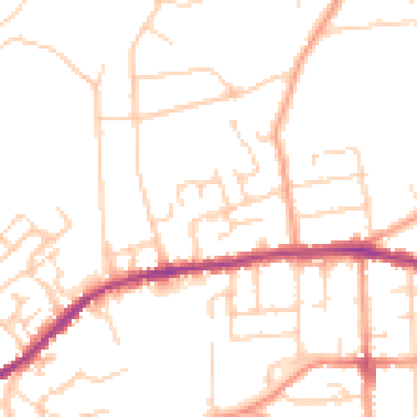
Daytime· 07:00 – 23:00
48.7dB

Night-time· 23:00 – 07:00
38.9dB