10 Lark Valley Court, Lark Valley Drive, Fornham St Martin, Bury St Edmunds, IP28 6UQ
About 10 Lark Valley Court
10 Lark Valley Court is a one-bedroom mid-terrace house in Fornham St. Martin, Bury St. Edmunds, Bury St Edmunds (IP28 6UQ). It has a recorded floor area of 57 m² (around 614 sq ft), construction records dating it to 1991-1995 and council tax band B. At 57 m² this is the 4th smallest of 12 units on EPC record in the building, where floor areas span 45–118 m². The building's EPC ratings span F to C, with this unit at the top. Other recorded features include a balcony. The latest certificate (February 2017) shows a C (score 70). When first surveyed in June 2009 the rating was D, the property has climbed 1 band since. Between certificates, wall efficiency went from Average to Good and roof efficiency went from Average to Good; while lighting dropped from Poor to Very Poor. Main heating runs on electricity.
It hasn't traded since June 2009, a hold of 17 years that's notably long for the area. That sale fell during the post-crash dip, which often skews comparisons against later neighbouring sales. Across 1998–2009, sale prices on this property compounded at 3.8% per year. Today's modelled estimate of £124,000 sits 55% above the 2009 sale of £80,000. On a £-per-square-foot basis, the last sale (£130/sq ft) was about 25.7% below the postcode norm. At 57 m² it's 20.8% smaller than the typical home in the postcode (72 m² median across 13 EPCs). Its energy rating outperforms most of the postcode (better than 77% of similar EPCs). 1 bedrooms is on the smaller side for this postcode, where 3 is the typical count.
What this property has
Inside
- Bedrooms1
- Bathrooms1
Outside
- Communal gardenYes
- BalconyYes
Building
- Heating systemElectric
Everything you need to know about 10 Lark Valley Court
The true value, the hidden risks and the full sale history, in one report.
Pick your report · from £14.99
One time fee only - money back guarantee

The data behind every report


Energy performance
EPC Rating
Certificate validity
Valid until 17 February 2027
Property Improvements
Changes detected from historical EPC data
Wall insulation upgraded
Roof insulation improved

Get a survey for this property
Level 3 Building Survey
Because the property has no mains gas supply, we believe a Level 3 building survey should be considered.
From £820 · Includes VAT
Planning history
10 Lark Valley Court has no planning applications on record.
But the area is active
2 notable applications nearby — larger schemes and conversions that could reshape the street. The report maps them all.
Sales history & valuation
The latest sale fell during the post-2008 dip, often a low-water mark in price comparisons.
£124,000
Modelled from EPC, postcode comparables and a sale-price growth of 3.8% per year over 11 years.
£80,000
Growth on file: 3.8% per year over 11 years.
Sales timeline
29 June 2009Most recent
£80,000
-36.0%over 2 years4 July 2006
£125,000
+135.8%over 8 years18 June 1998
£53,000
Median price across the last 5 sales in IP28 6UQ: £165,000 (2025–2015).
Nearby sales in IP28 6UQ
7 Lark Valley Court, Lark Valley Drive, Fornham St Martin, Bury St Edmunds, IP28 6UQ
Sold Aug 2025
£150,0002 Lark Valley Court, Lark Valley Drive, Fornham St Martin, Bury St Edmunds, IP28 6UQ
Sold Nov 2021
£165,0001 Lark Valley Court, Lark Valley Drive, Fornham St Martin, Bury St Edmunds, IP28 6UQ
Sold Aug 2020
£290,0008 Lark Valley Court, Lark Valley Drive, Fornham St Martin, Bury St Edmunds, IP28 6UQ
Sold Aug 2015
£143,0004 Lark Valley Court, Lark Valley Drive, Fornham St Martin, Bury St Edmunds, IP28 6UQ
Sold Mar 2015
£227,500
Versus other Lark Valley Drive homes
Price per m² for 10 Lark Valley Court lags the street by a wide margin.
Price per m²
£1,404
Street avg £2,395
Floor Area
57 m²
Street avg 70 m²
Habitable Rooms
2 rooms
Street avg 3 rooms
CO₂ Emissions
3.1 t/year
Street avg 4.1 t/year
Everything you need to know about 10 Lark Valley Court
The true value, the hidden risks and the full sale history, in one report.
Pick your report · from £14.99
One time fee only - money back guarantee
The data behind every report
Similar properties nearby
1 Cavenham Road, Tuddenham
IP28 6SE
1 Church Cottages, School Road, Risby
IP28 6RQ
1 Benyon Gardens, Culford
IP28 6EA
1 Bury Road, Flempton
IP28 6EJ
1 Carnoustie Drive, Fornham St Martin
IP28 6UU
1 Chimney Mills, West Stow
IP28 6ES
1 Church Lane Close, Barton Mills
IP28 6AX
1 Crooked Chimney Row, West Stow
IP28 6HB
The neighbourhood at a glance
Daytime road noise here sits well below conversation level — a quiet pocket of the postcode.
Crime
122/mo
Falling year-on-year across the wider district.
Nearest stop
0.3 km
Village Sign — bus stop.
Closest school
1.4 km
Tollgate Primary School. 9 schools nearby.
Go deeper on the local area
A Local Area report breaks down crime, transport links, schools and air quality in depth.
Road noise across the postcode
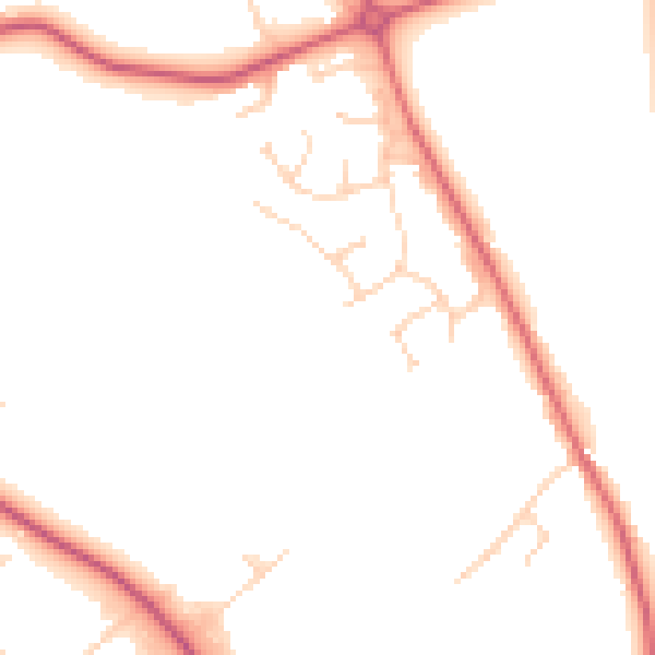
Daytime· 07:00 – 23:00
48.0dB

Night-time· 23:00 – 07:00
40.7dB