White House, Bassetsbury Lane, High Wycombe, HP11 1QU
About White House
White House is a detached house in High Wycombe (HP11 1QU). It has a recorded floor area of 106 m² (around 1141 sq ft), construction records dating it to 1976-1982 and council tax band F. The latest certificate (March 2017) shows a D (score 58), a step below the typical UK home. The recommended improvements would lift it to B (score 81), a 2-band jump.
Today's modelled estimate of £619,000 is 15.2% below the 2022 sale of £730,000, a rare downward gap that often correlates with deferred maintenance or unfinished works. On a £-per-square-foot basis, the last sale (£640/sq ft) was about 139.2% above the typical sold price in the postcode. At 106 m² it sits well below the postcode median (160 m² across 5 EPCs), making it one of the more compact homes locally. Its energy rating outperforms most of the postcode (better than 80% of similar EPCs). Last sale on file: £730,000 in June 2022. That sale was during the post-pandemic price surge, when transactions cleared materially above pre-2020 trend.
Know exactly what you're buying at White House
Before you offer, see what the listing won't tell you, the true value, the red flags and the full history.
Already flagged here
Valuation
against the asking price
Risks
planning & flood
Sold prices
similar homes nearby
Trends
the local market
Energy performance
Recommended upgrades on file would lift this property by multiple EPC bands.
EPC Rating
Planning history
White House has no planning applications on record.
Notable planning nearby
9applications of note in the surrounding area
We flagged 3 things worth checking at White House
Independent checks surfaced things a buyer would want to understand before offering. The report explains each one in full, with the underlying data and what to ask.
- Signs of HMO activity in the area
- Larger development activity nearby
- Environmental risk flagged
30-day money-back guarantee
Sales history & valuation
The latest sale landed in the post-pandemic price surge — useful context when reading the figure.
£619,000
Modelled from EPC, postcode comparables.
£730,000
Recorded with HM Land Registry.
Sales timeline
29 June 2022Most recent
£730,000
Median price across the last 5 sales in HP11 1QU: £470,000 (2019–2007).
Nearby sales in HP11 1QU
7 Bassetsbury Lane, High Wycombe, HP11 1QU
Sold Oct 2019
£380,000Ladymead, Bassetsbury Lane, High Wycombe, HP11 1QU
Sold Jun 2016
£730,0002 Bassetsbury Lane, High Wycombe, HP11 1QU
Sold Jun 2016
£350,0009 Bassetsbury Lane, High Wycombe, HP11 1QU
Sold Feb 2014
£470,000Potters Lodge, Bassetsbury Lane, High Wycombe, HP11 1QU
Sold Apr 2007
£560,000
Everything we know about White House, in one report
What it's really worth, what could be wrong, and the planning, sales and area data in full.
What we flagged
- Signs of HMO activity in the area
- Larger development activity nearby
- Environmental risk flagged

Versus other Bassetsbury Lane homes
White House outperforms the street on price per m² by a wide margin.
Price per m²
£6,887
Street avg £3,331
Floor Area
106 m²
Street avg 156 m²
Habitable Rooms
6 rooms
Street avg 7 rooms
CO₂ Emissions
4.9 t/year
Street avg 7.9 t/year
Similar properties nearby
The neighbourhood at a glance
Rail-style transport is unusually close for this postcode.
Crime
7/mo
Steady year-on-year across the wider district.
Nearest stop
0.2 km
Chestnut Avenue — bus stop.
Closest school
0.6 km
Beechview Academy. 22 schools nearby.
Go deeper on the local area
The full report breaks down crime, transport links, schools and air quality in depth.
Road noise across the postcode
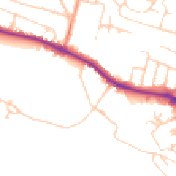
Daytime· 07:00 – 23:00
48.6dB

Night-time· 23:00 – 07:00
39.6dB