Potters Lodge, Bassetsbury Lane, High Wycombe, HP11 1QU
About Potters Lodge
Potters Lodge is a five-bedroom detached house in High Wycombe (HP11 1QU). It has a recorded floor area of 231 m² (around 2486 sq ft), construction records dating it to 2003-2006 and council tax band G. The latest certificate (June 2025) shows a C (score 78), near the top of the C band. The recommended improvements would push it to B (score 82). Other recorded features include a balcony. Period features are noted in the property record.
Held since April 2007 — that's 19 years off the open market, well above the local norm. That sale landed at the peak of the pre-credit-crunch market, which is a useful reference point when interpreting the price. At 231 m² the property is well over the postcode median (132 m² across 5 EPCs), placing it in the larger end of the local stock. On energy efficiency it sits in the top 10% of properties in this postcode. 5 bedrooms is on the larger side for this postcode, where 3 is the typical count. Across 2005–2007, sale prices on this property compounded at 64.6% per year. Today's modelled estimate of £945,000 sits 68.8% above the 2007 sale of £560,000. On a £-per-square-foot basis, the last sale (£225/sq ft) was about 31.3% below the postcode norm. 2 planning records sit against the property, 2 approved, 0 refused. Past consents include an extension and a loft conversion, meaningful when judging how the property has evolved.
Know exactly what you're buying at Potters Lodge
Before you offer, see what the listing won't tell you, the true value, the red flags and the full history.
Already flagged here
Valuation
against the asking price
Risks
planning & flood
Sold prices
similar homes nearby
Trends
the local market
What this property has
Inside
- Bedrooms5
- Bathrooms2
- Dining roomYes
- EnsuiteYes
- StudyYes
Outside
- Private gardenYes
- DrivewayYes
- BalconyYes
Building
- Period featuresYes
Energy performance
Potters Lodge ranks among the most efficient homes in the postcode for energy use.
EPC Rating
Planning history
Planning history includes both a loft conversion and an extension — the classic family-home expansion.
- Apr 2012ExtensionOutlineIn report
Extension: Single storey · Rear of property
Construction of a single storey rear extension
- Documents
- 11 docs on file
- Reference
- 12/05725/CLP
- Oct 2009Loft ConversionFullIn report
Householder application for the insertion of rooflights in side and front elevations in connection with loft conversion
- Documents
- 7 docs on file
- Reference
- 09/06664/FUL
We flagged 3 things worth checking at Potters Lodge
Independent checks surfaced things a buyer would want to understand before offering. The report explains each one in full, with the underlying data and what to ask.
- Signs of HMO activity in the area
- Larger development activity nearby
- Environmental risk flagged
30-day money-back guarantee
Sales history & valuation
Sale price has at least doubled since 2005.
£945,000
Modelled from EPC, postcode comparables and a sale-price growth of 64.6% per year over 2 years.
£560,000
Growth on file: 64.6% per year over 2 years.
Sales timeline
19 April 2007Most recent
£560,000
+194.7%over 2 years16 February 2005
£190,000
Median price across the last 5 sales in HP11 1QU: £470,000 (2022–2014).
Nearby sales in HP11 1QU
White House, Bassetsbury Lane, High Wycombe, HP11 1QU
Sold Jun 2022
£730,0007 Bassetsbury Lane, High Wycombe, HP11 1QU
Sold Oct 2019
£380,000Ladymead, Bassetsbury Lane, High Wycombe, HP11 1QU
Sold Jun 2016
£730,0002 Bassetsbury Lane, High Wycombe, HP11 1QU
Sold Jun 2016
£350,0009 Bassetsbury Lane, High Wycombe, HP11 1QU
Sold Feb 2014
£470,000
Everything we know about Potters Lodge, in one report
What it's really worth, what could be wrong, and the planning, sales and area data in full.
What we flagged
- Signs of HMO activity in the area
- Larger development activity nearby
- Environmental risk flagged

Versus other Bassetsbury Lane homes
On price per m², Potters Lodge runs well behind the street norm.
Price per m²
£2,424
Street avg £4,223
Floor Area
231 m²
Street avg 131 m²
Habitable Rooms
9 rooms
Street avg 7 rooms
CO₂ Emissions
4.3 t/year
Street avg 8.0 t/year
Similar properties nearby
The neighbourhood at a glance
Rail-style transport is unusually close for this postcode.
Crime
7/mo
Steady year-on-year across the wider district.
Nearest stop
0.2 km
Chestnut Avenue — bus stop.
Closest school
0.6 km
Beechview Academy. 22 schools nearby.
Go deeper on the local area
The full report breaks down crime, transport links, schools and air quality in depth.
Road noise across the postcode
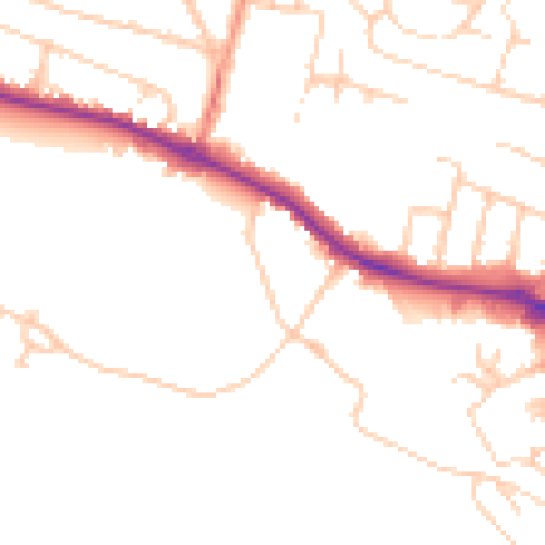
Daytime· 07:00 – 23:00
48.6dB

Night-time· 23:00 – 07:00
39.6dB