7 Barentin Way, Petersfield, GU31 4QN
About 7 Barentin Way
7 Barentin Way is a three-bedroom semi-detached house in Petersfield (GU31 4QN). It has a recorded floor area of 71 m² (around 764 sq ft), construction records dating it to 2003-2006 and council tax band D. Other recorded features include a conservatory. The latest certificate (October 2020) shows a C (score 74). The recommended improvements would push it to B (score 89).
Held since April 2004 — that's 22 years off the open market, well above the local norm. Today's modelled estimate of £406,000 sits 111.5% above the 2004 sale of £192,000. One historical planning record sits against the property in 2011.
Know exactly what you're buying at 7 Barentin Way
Before you offer, see what the listing won't tell you, the true value, the red flags and the full history.
Already flagged here
Valuation
against the asking price
Risks
planning & flood
Sold prices
similar homes nearby
Trends
the local market
What this property has
Inside
- Bedrooms3
- Bathrooms2
- CloakroomYes
- EnsuiteYes
- ConservatoryYes
Outside
- Private gardenRear
- ParkingAllocated
Building
- RefurbishedYes
Energy performance
EPC Rating
Planning history
- Oct 2011ConservatoryFullIn report
Extension: Rear of property
CONSERVATORY TO REAR
Extension- Documents
- 13 docs on file
- Reference
- SDNP/53705
We flagged 1 thing worth checking at 7 Barentin Way
Independent checks surfaced things a buyer would want to understand before offering. The report explains each one in full, with the underlying data and what to ask.
- Larger development activity nearby
30-day money-back guarantee
Sales history & valuation
7 Barentin Way valuation sits well clear of the typical sold price in this postcode.
£406,000
Modelled from EPC, postcode comparables.
£192,000
Recorded with HM Land Registry.
Sales timeline
29 April 2004Most recent
£192,000
Median price across the last 5 sales in GU31 4QN: £560,000 (2025–2022).
Nearby sales in GU31 4QN
Everything we know about 7 Barentin Way, in one report
What it's really worth, what could be wrong, and the planning, sales and area data in full.
What we flagged
- Larger development activity nearby

Versus other Barentin Way homes
Years Held for 7 Barentin Way runs comfortably ahead of the street norm.
Price per m²
£2,704
Street avg £4,027
Floor Area
71 m²
Street avg 99 m²
Habitable Rooms
4 rooms
Street avg 5 rooms
CO₂ Emissions
2.1 t/year
Street avg 2.8 t/year
Similar properties nearby
The neighbourhood at a glance
Rail-style transport is unusually close for this postcode.
Crime
1/mo
Steady year-on-year across the wider district.
Nearest stop
0.2 km
Churchers College — bus stop.
Closest school
0.4 km
Herne Junior School. 5 schools nearby.
Go deeper on the local area
The full report breaks down crime, transport links, schools and air quality in depth.
Road noise across the postcode
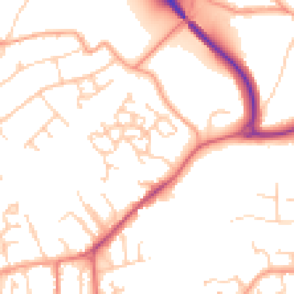
Daytime· 07:00 – 23:00
51.0dB

Night-time· 23:00 – 07:00
41.2dB