2 Hawthorn Road, Woking, GU22 0BA
About 2 Hawthorn Road
2 Hawthorn Road is a three-bedroom semi-detached house in Woking (GU22 0BA). It has a recorded floor area of 103 m² (around 1111 sq ft), construction records dating it to 1950-1966 and council tax band D. The latest certificate (February 2010) shows an E (score 52), well below the UK norm with real room to improve. The recommended improvements would lift it to C (score 71), a 2-band jump. The latest certificate is from February 2010, so improvements made since then won't be reflected.
It hasn't traded since July 2010, a hold of 16 years that's notably long for the area. At 103 m² it's 20% larger than the typical home in the postcode (86 m² median across 31 EPCs). On energy efficiency it sits in the bottom 10% of properties in this postcode — significant headroom for improvement. Across 2002–2010, sale prices on this property compounded at 7.6% per year. Today's modelled estimate of £447,000 sits 65.6% above the 2010 sale of £270,000.
What this property has
Inside
- Bedrooms3
Everything you need to know about 2 Hawthorn Road
The true value, the hidden risks and the full sale history, in one report.
Pick your report · every report is £14.99
One time fee only - money back guarantee

The data behind every report


Energy performance
2 Hawthorn Road sits at the bottom of the postcode for energy efficiency — meaningful headroom to improve.
EPC Expired
This certificate is over 10 years old and is no longer valid.Expired 02 Feb 2020
EPC Rating
Get a survey for this property
Level 2 HomeBuyer Report
We've checked 10 risk factors against the available data for this property and believe a Level 2 HomeBuyer Report could be a suitable option for you.
From £695 · Includes VAT
Planning history
2 Hawthorn Road has no planning applications on record.
But the area is active
4 notable applications nearby — larger schemes and conversions that could reshape the street. The report maps them all.
Sales history & valuation
2 Hawthorn Road's estimated value is more than triple its earliest registered sale price (2002).
£447,000
Modelled from EPC, postcode comparables and a sale-price growth of 7.6% per year over 8 years.
£270,000
Growth on file: 7.6% per year over 8 years.
Sales timeline
27 July 2010Most recent
£270,000
+8.0%over 3 years29 November 2006
£249,950
+72.4%over 4 years15 February 2002
£145,000
Median price across the last 5 sales in GU22 0BA: £485,000 (2024–2019).
Nearby sales in GU22 0BA
Versus other Hawthorn Road homes
2 Hawthorn Road is notably below the street on co₂ emissions.
Price per m²
£2,616
Street avg £3,576
Floor Area
103 m²
Street avg 87 m²
Habitable Rooms
5 rooms
Street avg 5 rooms
CO₂ Emissions
5.1 t/year
Street avg 3.4 t/year
Everything you need to know about 2 Hawthorn Road
The true value, the hidden risks and the full sale history, in one report.
Pick your report · every report is £14.99
One time fee only - money back guarantee
The data behind every report
Similar properties nearby
1 Blenheim Gardens, Hook Heath Avenue
GU22 0HL
1 Crosswell Cottages, Goose Lane
GU22 0NW
1 Dianthus Court
GU22 0JA
1 Cavendish Road
GU22 0EP
1 Camellia House, Wych Hill Park
GU22 0JF
1 Evelyn Close
GU22 0DG
1 Azalea Court
GU22 0HG
1 Allen House Park
GU22 0DB
The neighbourhood at a glance
Crime
8/mo
Steady year-on-year across the wider district.
Nearest stop
0.0 km
Hawthorn Road South — bus stop.
Closest school
0.0 km
Barnsbury Primary School and Nursery. 17 schools nearby.
Go deeper on the local area
A Local Area report breaks down crime, transport links, schools and air quality in depth.
Road noise across the postcode
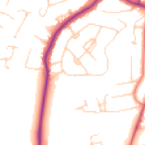
Daytime· 07:00 – 23:00
50.2dB
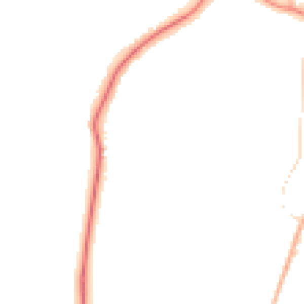
Night-time· 23:00 – 07:00
42.0dB