9 Church View, Broxbourne, EN10 7AB
About 9 Church View
9 Church View is a four-bedroom mid-terrace house in Broxbourne (EN10 7AB). It has a recorded floor area of 95 m² (around 1023 sq ft), construction records dating it to 1950-1966 and council tax band E. The latest certificate (August 2018) shows an E (score 53), well below the UK norm with real room to improve. The recommended improvements would lift it to B (score 85), a 3-band jump.
It lags the bulk of the postcode on energy efficiency (less efficient than 88% of similar EPCs). Today's modelled estimate of £538,000 is 34.5% above the 2019 sale price. On a £-per-square-foot basis, the last sale (£391/sq ft) was about 44.4% above the typical sold price in the postcode. Last sale on file: £400,000 in January 2019.
What this property has
Inside
- Bedrooms4
- Bathrooms1
- Dining roomYes
- CloakroomYes
- EnsuiteYes
Outside
- Private gardenRear
- GarageYes
Building
- RefurbishedYes
Everything you need to know about 9 Church View
The true value, the hidden risks and the full sale history, in one report.
30-day money-back guarantee

The data behind every report


Energy performance
Recommended upgrades on file would lift this property by multiple EPC bands.
EPC Rating
Planning history
9 Church View has no planning applications on record.
Notable planning nearby
2applications of note in the surrounding area
We flagged 1 thing worth checking at 9 Church View
Independent checks surfaced things a buyer would want to understand before offering. The report explains each one in full, with the underlying data and what to ask.
- Larger development activity nearby
30-day money-back guarantee
Sales history & valuation
9 Church View valuation sits well clear of the typical sold price in this postcode.
£538,000
Modelled from EPC, postcode comparables.
£400,000
Recorded with HM Land Registry.
Sales timeline
29 January 2019Most recent
£400,000
Median price across the last 5 sales in EN10 7AB: £475,000 (2024–2015).
Nearby sales in EN10 7AB
Versus other Church View homes
On floor area, 9 Church View runs well behind the street norm.
Price per m²
£4,211
Street avg £4,226
Floor Area
95 m²
Street avg 109 m²
Habitable Rooms
5 rooms
Street avg 6 rooms
CO₂ Emissions
5.4 t/year
Street avg 4.3 t/year
Everything you need to know about 9 Church View
The true value, the hidden risks and the full sale history, in one report.
30-day money-back guarantee
The data behind every report
Similar properties nearby
1 Church View
EN10 7AB
1 Borrell Close
EN10 7RD
1 Badgers Croft
EN10 7ED
1 Alexis Row, High Road
EN10 7FJ
1 Baas Lane
EN10 7EL
1 Beaumont Manor, Beaumont Road
EN10 7QJ
1 Bourne Close
EN10 7NE
1 Alderman Place
EN10 7FY
The neighbourhood at a glance
Rail-style transport is unusually close for this postcode.
Crime
3/mo
Steady year-on-year across the wider district.
Nearest stop
0.2 km
Grenville Avenue — bus stop.
Closest school
0.5 km
Broxbourne CofE Primary School. 11 schools nearby.
Go deeper on the local area
The full report breaks down crime, transport links, schools and air quality in depth.
Road noise across the postcode
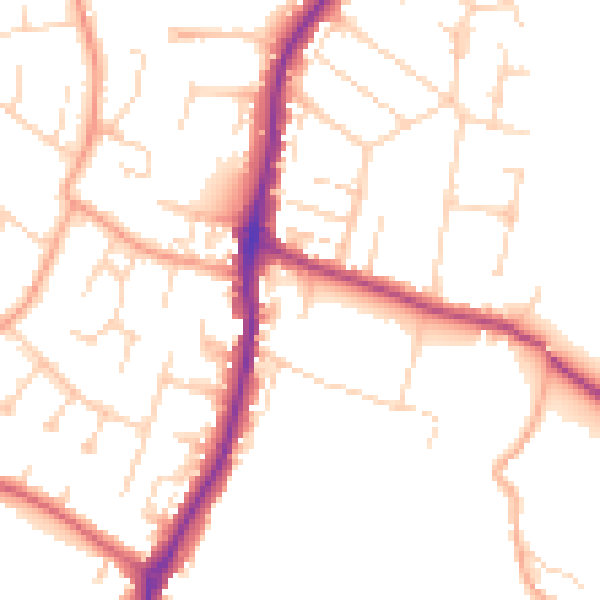
Daytime· 07:00 – 23:00
50.7dB

Night-time· 23:00 – 07:00
41.1dB