5 Church View, Broxbourne, EN10 7AB
About 5 Church View
5 Church View is a four-bedroom mid-terrace house in Broxbourne (EN10 7AB). It has a recorded floor area of 120 m² (around 1292 sq ft), construction records dating it to 1950-1966 and council tax band E. The latest certificate (August 2022) shows a C (score 70). The rating has held steady at C across 2 certificates since July 2012. Between certificates, lighting went from Good to Very Good. The recommended improvements would push it to B (score 84).
Across 1999–2015, sale prices on this property compounded at 5.6% per year. Today's modelled estimate of £554,000 sits 58.3% above the 2015 sale of £350,000. Its energy rating outperforms most of the postcode (better than 75% of similar EPCs). On the market in January 2015 and unlisted since — roughly 11 years.
What this property has
Inside
- Bedrooms4
- Bathrooms2
- Dining roomYes
Outside
- ParkingOff street
Everything you need to know about 5 Church View
The true value, the hidden risks and the full sale history, in one report.
30-day money-back guarantee

The data behind every report


Energy performance
EPC Rating
Planning history
5 Church View has no planning applications on record.
Notable planning nearby
2applications of note in the surrounding area
We flagged 1 thing worth checking at 5 Church View
Independent checks surfaced things a buyer would want to understand before offering. The report explains each one in full, with the underlying data and what to ask.
- Larger development activity nearby
30-day money-back guarantee
Sales history & valuation
5 Church View has more than doubled in price since the earliest registered sale in 1999.
£554,000
Modelled from EPC, postcode comparables and a sale-price growth of 5.6% per year over 16 years.
£350,000
Growth on file: 5.6% per year over 16 years.
Sales timeline
23 January 2015Most recent
£350,000
+27.3%over 9 years6 January 2006
£275,000
+85.8%over 6 years26 May 1999
£148,000
Median price across the last 5 sales in EN10 7AB: £475,000 (2024–2019).
Nearby sales in EN10 7AB
Versus other Church View homes
On price per m², 5 Church View runs well behind the street norm.
Price per m²
£2,917
Street avg £4,441
Floor Area
120 m²
Street avg 106 m²
Habitable Rooms
6 rooms
Street avg 6 rooms
CO₂ Emissions
3.8 t/year
Street avg 4.5 t/year
Everything you need to know about 5 Church View
The true value, the hidden risks and the full sale history, in one report.
30-day money-back guarantee
The data behind every report
Similar properties nearby
1 Church View
EN10 7AB
1 Borrell Close
EN10 7RD
1 Badgers Croft
EN10 7ED
1 Alexis Row, High Road
EN10 7FJ
1 Baas Lane
EN10 7EL
1 Beaumont Manor, Beaumont Road
EN10 7QJ
1 Alderman Place
EN10 7FY
1 Bourne Close
EN10 7NE
The neighbourhood at a glance
Rail-style transport is unusually close for this postcode.
Crime
3/mo
Steady year-on-year across the wider district.
Nearest stop
0.2 km
Grenville Avenue — bus stop.
Closest school
0.5 km
Broxbourne CofE Primary School. 11 schools nearby.
Go deeper on the local area
The full report breaks down crime, transport links, schools and air quality in depth.
Road noise across the postcode
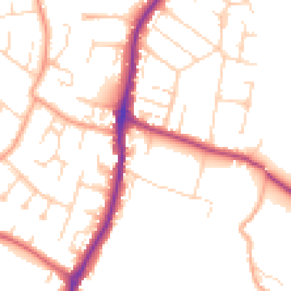
Daytime· 07:00 – 23:00
50.7dB

Night-time· 23:00 – 07:00
41.1dB