15 West Side, High Road, Turnford, Broxbourne, EN10 6DF
About 15 West Side
15 West Side is a three-bedroom semi-detached house in Turnford, Broxbourne, Broxbourne (EN10 6DF). It has a recorded floor area of 122 m² (around 1313 sq ft), construction records dating it to 1930-1949 and council tax band E. The latest certificate (August 2015) shows a D (score 64), on the cusp of jumping into the C band. The recommended improvements would push it to C (score 78). The latest certificate is from August 2015, so improvements made since then won't be reflected. Our model identifies extension potential, subject to local planning policy.
2 planning records sit against the property, 2 approved, 0 refused. Past consents include an extension, meaningful when judging how the property has evolved. Across 2005–2019, sale prices on this property compounded at 4% per year. On a £-per-square-foot basis, the last sale (£373/sq ft) was about 38.6% above the typical sold price in the postcode. Last sale on file: £490,000 in January 2019.
What this property has
Inside
- Bedrooms3
- Bathrooms1
- Dining roomYes
- EnsuiteYes
Outside
- Private gardenWest-facing
Building
- Extension potentialPossible
Everything you need to know about 15 West Side
The true value, the hidden risks and the full sale history, in one report.
30-day money-back guarantee

The data behind every report


Energy performance
EPC Expired
This certificate is over 10 years old and is no longer valid.Expired 31 Aug 2025
EPC Rating
Planning history
15 West Side has an approved single-storey rear extension on the planning record.
- May 2016ExtensionFullIn report
Extension: Single storey · Side and rear of property
SINGLE STOREY REAR AND SIDE EXTENSION WITH GARAGE CONVERSION
- Reference
- 07/16/0418/HF
- Jan 2006ExtensionFullIn report
Extension: Single storey · Rear of property
SINGLE STOREY REAR EXTENSION
- Reference
- 7/1016/05/HF/HOD
We flagged 1 thing worth checking at 15 West Side
Independent checks surfaced things a buyer would want to understand before offering. The report explains each one in full, with the underlying data and what to ask.
- Larger development activity nearby
30-day money-back guarantee
Sales history & valuation
15 West Side valuation sits well clear of the typical sold price in this postcode.
£524,000
Modelled from EPC, postcode comparables and a sale-price growth of 4.0% per year over 14 years.
£490,000
Growth on file: 4.0% per year over 14 years.
Sales timeline
25 January 2019Most recent
£490,000
+15.8%over 3 years30 September 2015
£423,000
+48.4%over 10 years4 March 2005
£285,000
Median price across the last 5 sales in EN10 6DF: £450,000 (2022–2016).
Nearby sales in EN10 6DF
24 West Side, High Road, Turnford, Broxbourne, EN10 6DF
Sold Aug 2022
£530,00013 West Side, High Road, Turnford, Broxbourne, EN10 6DF
Sold Dec 2019
£480,00020 West Side, High Road, Turnford, Broxbourne, EN10 6DF
Sold Jun 2018
£400,00021 West Side, High Road, Turnford, Broxbourne, EN10 6DF
Sold Nov 2016
£400,0009 West Side, High Road, Turnford, Broxbourne, EN10 6DF
Sold May 2016
£450,000
Versus other West Side homes
15 West Side outperforms the street on price per m² by a wide margin.
Price per m²
£4,016
Street avg £3,276
Floor Area
122 m²
Street avg 167 m²
Habitable Rooms
5 rooms
Street avg 6 rooms
CO₂ Emissions
4.7 t/year
Street avg 7.5 t/year
Everything you need to know about 15 West Side
The true value, the hidden risks and the full sale history, in one report.
30-day money-back guarantee
The data behind every report
Similar properties nearby
1 De Burgh Close
EN10 6GL
1 Elgin Road
EN10 6JQ
1 Academia Avenue
EN10 6FW
1 Farriers End
EN10 6BS
1 Cedrus Close
EN10 6GA
1 Arrow Yard, Old Nazeing Road
EN10 6RX
1 Broomfield Avenue
EN10 6AX
1 Columbia Road
EN10 6FR
The neighbourhood at a glance
Crime
3/mo
Steady year-on-year across the wider district.
Nearest stop
0.2 km
Hertford Regional College — bus stop.
Closest school
0.3 km
Longlands Primary School and Nursery. 16 schools nearby.
Go deeper on the local area
The full report breaks down crime, transport links, schools and air quality in depth.
Road noise across the postcode
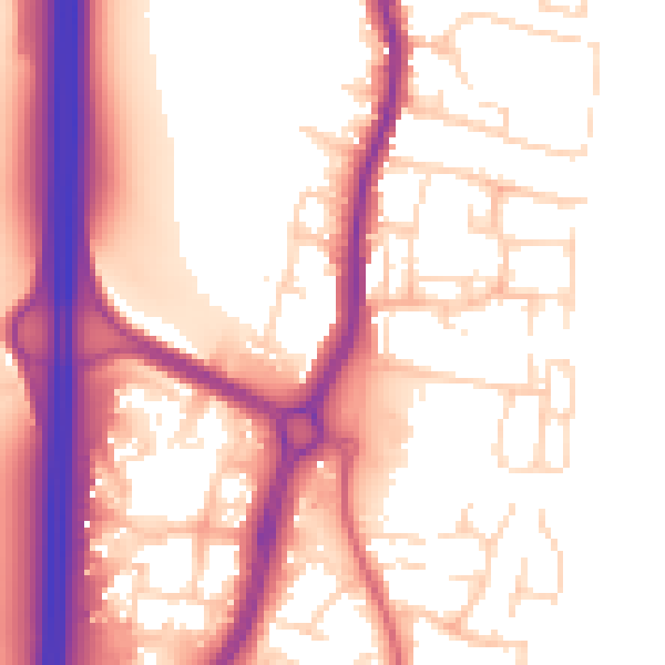
Daytime· 07:00 – 23:00
56.2dB

Night-time· 23:00 – 07:00
47.5dB