20 West Side, High Road, Turnford, Broxbourne, EN10 6DF
About 20 West Side
20 West Side is a semi-detached house in Turnford, Broxbourne, Broxbourne (EN10 6DF). It has a recorded floor area of 110 m² (around 1184 sq ft), construction records dating it to 1930-1949 and council tax band E. The latest certificate (June 2018) shows a D (score 65), on the cusp of jumping into the C band. The recommended improvements would lift it to B (score 84), a 2-band jump.
Today's modelled estimate of £516,000 is 29% above the 2018 sale price. On a £-per-square-foot basis, the last sale (£338/sq ft) was about 25.5% above the typical sold price in the postcode. Last sale on file: £400,000 in June 2018.
Everything you need to know about 20 West Side
The true value, the hidden risks and the full sale history, in one report.
30-day money-back guarantee

The data behind every report


Energy performance
Recommended upgrades on file would lift this property by multiple EPC bands.
EPC Rating
Planning history
20 West Side has no planning applications on record.
Notable planning nearby
8applications of note in the surrounding area
We flagged 1 thing worth checking at 20 West Side
Independent checks surfaced things a buyer would want to understand before offering. The report explains each one in full, with the underlying data and what to ask.
- Larger development activity nearby
30-day money-back guarantee
Sales history & valuation
20 West Side valuation sits well clear of the typical sold price in this postcode.
£516,000
Modelled from EPC, postcode comparables.
£400,000
Recorded with HM Land Registry.
Sales timeline
18 June 2018Most recent
£400,000
Median price across the last 5 sales in EN10 6DF: £480,000 (2022–2016).
Nearby sales in EN10 6DF
24 West Side, High Road, Turnford, Broxbourne, EN10 6DF
Sold Aug 2022
£530,00013 West Side, High Road, Turnford, Broxbourne, EN10 6DF
Sold Dec 2019
£480,00015 West Side, High Road, Turnford, Broxbourne, EN10 6DF
Sold Jan 2019
£490,00021 West Side, High Road, Turnford, Broxbourne, EN10 6DF
Sold Nov 2016
£400,0009 West Side, High Road, Turnford, Broxbourne, EN10 6DF
Sold May 2016
£450,000
Versus other West Side homes
On co₂ emissions, 20 West Side stands well clear of the street.
Price per m²
£3,636
Street avg £3,310
Floor Area
110 m²
Street avg 168 m²
Habitable Rooms
5 rooms
Street avg 6 rooms
CO₂ Emissions
4.4 t/year
Street avg 7.5 t/year
Everything you need to know about 20 West Side
The true value, the hidden risks and the full sale history, in one report.
30-day money-back guarantee
The data behind every report
Similar properties nearby
The neighbourhood at a glance
Crime
3/mo
Steady year-on-year across the wider district.
Nearest stop
0.2 km
Hertford Regional College — bus stop.
Closest school
0.3 km
Longlands Primary School and Nursery. 16 schools nearby.
Go deeper on the local area
The full report breaks down crime, transport links, schools and air quality in depth.
Road noise across the postcode
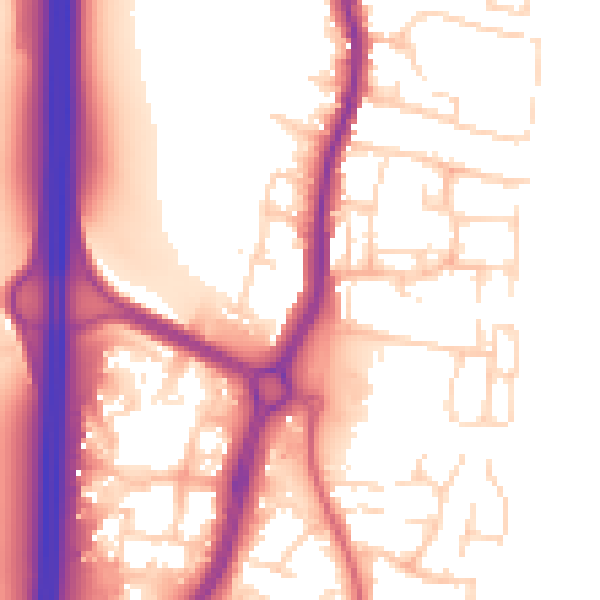
Daytime· 07:00 – 23:00
56.2dB

Night-time· 23:00 – 07:00
47.5dB