181 Harrow Road, Waltham Forest, London, E11 3PX
About 181 Harrow Road
181 Harrow Road is a three-bedroom mid-terrace house in Waltham Forest, London, London (E11 3PX). It has a recorded floor area of 98 m² (around 1055 sq ft), construction records dating it to before 1900 and council tax band C. The latest certificate (October 2022) shows a D (score 67), on the cusp of jumping into the C band. When first surveyed in September 2012 the rating was E, the property has climbed 1 band since. Between certificates, roof efficiency went from Very Poor to Average, window efficiency went from Average to Good and hot-water efficiency went from Average to Good. The recommended improvements would lift it to B (score 83), a 2-band jump.
At 98 m² the property is well over the postcode median (59 m² across 42 EPCs), placing it in the larger end of the local stock. Most recent transfer was March 2025 at £620,000 — fresh data. Across 1999–2025, sale prices on this property compounded at 7.8% per year. Today's modelled estimate of £781,000 is 26% above the 2025 sale price. On a £-per-square-foot basis, the last sale (£588/sq ft) was about 155.4% above the typical sold price in the postcode.
Know exactly what you're buying at 181 Harrow Road
Before you offer, see what the listing won't tell you, the true value, the red flags and the full history.
Already flagged here
Valuation
against the asking price
Risks
planning & flood
Sold prices
similar homes nearby
Trends
the local market
What this property has
Inside
- Bedrooms3
- Bathrooms2
Outside
- Private gardenSouth-facing
- ParkingOff road
Energy performance
Recommended upgrades on file would lift this property by multiple EPC bands.
EPC Rating
Property Improvements
Changes detected from historical EPC data
Hot water efficiency improved
Window efficiency improved
Roof insulation improved
Planning history
181 Harrow Road has no planning applications on record.
Notable planning nearby
14applications of note in the surrounding area
We flagged 1 thing worth checking at 181 Harrow Road
Independent checks surfaced things a buyer would want to understand before offering. The report explains each one in full, with the underlying data and what to ask.
- Signs of HMO activity in the area
30-day money-back guarantee
Sales history & valuation
Price for 181 Harrow Road has grown more than fourfold since the 1999 starting point.
£781,000
Modelled from EPC, postcode comparables and a sale-price growth of 7.8% per year over 25 years.
£620,000
Growth on file: 7.8% per year over 25 years.
Sales timeline
17 March 2025Most recent
£620,000
+396.0%over 24 years20 July 2000
£125,000
+43.7%over 8 months2 December 1999
£87,000
-5.4%2 December 1999
£92,000
Median price across the last 5 sales in E11 3PX: £285,000 (2025–2021).
Nearby sales in E11 3PX
The Gables, Flat 8, 125 Harrow Road, Waltham Forest, London, E11 3PX
Sold Mar 2025
£285,000The Gables, Flat 2, 125 Harrow Road, Waltham Forest, London, E11 3PX
Sold Jan 2025
£335,000Shire House, Flat 10, 135 Harrow Road, Waltham Forest, London, E11 3PX
Sold Sept 2022
£290,000Shire House, Flat 1, 135 Harrow Road, Waltham Forest, London, E11 3PX
Sold Oct 2021
£260,000187 Harrow Road, Waltham Forest, London, E11 3PX
Sold Sept 2018
£475,000
Everything we know about 181 Harrow Road, in one report
What it's really worth, what could be wrong, and the planning, sales and area data in full.
What we flagged
- Signs of HMO activity in the area

Versus other Harrow Road homes
On years held, 181 Harrow Road runs well behind the street norm.
Price per m²
£6,327
Street avg £4,446
Floor Area
98 m²
Street avg 86 m²
Habitable Rooms
5 rooms
Street avg 4 rooms
CO₂ Emissions
3.4 t/year
Street avg 3.0 t/year
Similar properties nearby
1 Barfield Road, Waltham Forest
E11 3AF
1 Eve Road, Waltham Forest
E11 3JE
1 Belton Road, Waltham Forest
E11 3JD
1 Elsham Road, Waltham Forest
E11 3JH
1 Forest View, Waltham Forest
E11 3AP
1 Aylmer Road, Waltham Forest
E11 3AD
1 Burden Way, Redbridge
E11 3RY
1 Cookes Close, Waltham Forest
E11 3EF
The neighbourhood at a glance
Rail-style transport is unusually close for this postcode.
Crime
5/mo
Rising year-on-year across the wider district.
Nearest stop
0.3 km
Leytonstone Fire Station — bus stop.
Closest school
0.3 km
Buxton School. 65 schools nearby.
Go deeper on the local area
The full report breaks down crime, transport links, schools and air quality in depth.
Road noise across the postcode
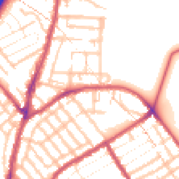
Daytime· 07:00 – 23:00
52.6dB

Night-time· 23:00 – 07:00
42.1dB