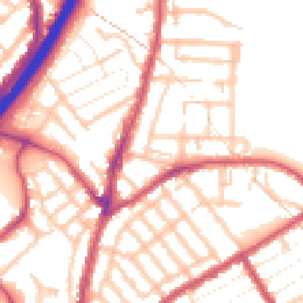
1 Cobden Road, Waltham Forest, London, E11 3PH
About 1 Cobden Road
1 Cobden Road is a property in Waltham Forest, London, London (E11 3PH). It has council tax band D.
Energy performance
No EPC on record
This property doesn't have an Energy Performance Certificate yet. An EPC is required to sell or let — and unlocks our automated valuation.
Planning history
No planning applications are recorded against 1 Cobden Road, Waltham Forest, London, E11 3PH. The full report also covers planning activity across the surrounding area.
Sales history & valuation
No sales recorded with HM Land Registry
That can mean the property has never traded since the registry began publishing in 1995, was a new build that hasn't been registered yet, or is held in the same hands long-term.
Median price across the last 5 sales in E11 3PH: £385,500 (2025–2014).
Nearby sales in E11 3PH
15 Cobden Road, Waltham Forest, London, E11 3PH
Sold Sept 2025
£608,00040 Cobden Road, Waltham Forest, London, E11 3PH
Sold Mar 2022
£630,00023 Cobden Road, Waltham Forest, London, E11 3PH
Sold Nov 2017
£385,5005 Cobden Road, Waltham Forest, London, E11 3PH
Sold Apr 2012
£240,00017 Cobden Road, Waltham Forest, London, E11 3PH
Sold Dec 2007
£230,000
Similar properties nearby
1 Acacia Road, Waltham Forest
E11 3PF
1 Alders Close, Redbridge
E11 3RZ
1 Aylmer Road, Waltham Forest
E11 3AD
1 Barclay Road, Waltham Forest
E11 3DQ
1 Barfield Road, Waltham Forest
E11 3AF
1 Belgrave Road, Redbridge
E11 3QN
1 Belton Road, Waltham Forest
E11 3JD
1 Blake Hall Crescent, Redbridge
E11 3RH
The neighbourhood at a glance
Rail-style transport is unusually close for this postcode.
Crime
5/mo
Rising year-on-year across the wider district.
Nearest stop
0.1 km
Leytonstone Fire Station — bus stop.
Closest school
0.2 km
Mayville Academy. 63 schools nearby.
Road noise across the postcode
Daytime· 07:00 – 23:00
54.0dB

Night-time· 23:00 – 07:00
43.5dB