33c, Grosvenor Road, London, E11 2EW
About 33c
33c is a mid-terrace house in London (E11 2EW). It has a recorded floor area of 50 m² (around 538 sq ft) and construction records dating it to 1900-1929. The latest certificate (October 2020) shows a C (score 75), near the top of the C band.
Across 1998–2024, sale prices on this property compounded at 6.7% per year. Today's modelled estimate of £461,000 is 19.7% above the 2024 sale price. On a £-per-square-foot basis, the last sale (£715/sq ft) was about 106.3% above the typical sold price in the postcode. At 50 m² it's 15.3% smaller than the typical home in the postcode (59 m² median across 62 EPCs). Most recent transfer: March 2024 at £385,000.
Know exactly what you're buying at 33c
Before you offer, see what the listing won't tell you, the true value, the red flags and the full history.
Already flagged here
Valuation
against the asking price
Risks
planning & flood
Sold prices
similar homes nearby
Trends
the local market
Energy performance
33c's carbon output is low for the local stock.
EPC Rating
Planning history
33c has no planning applications on record.
Notable planning nearby
18applications of note in the surrounding area
We flagged 1 thing worth checking at 33c
Independent checks surfaced things a buyer would want to understand before offering. The report explains each one in full, with the underlying data and what to ask.
- Signs of HMO activity in the area
30-day money-back guarantee
Sales history & valuation
33c has more than quadrupled in price since its earliest registered sale in 1998.
£461,000
Modelled from EPC, postcode comparables and a sale-price growth of 6.7% per year over 26 years.
£385,000
Growth on file: 6.7% per year over 26 years.
Sales timeline
4 March 2024Most recent
£385,000
+120.0%over 20 years14 March 2003
£175,000
+65.1%over 2 years13 February 2001
£106,000
+43.7%over 2 years12 July 1998
£73,750
Median price across the last 5 sales in E11 2EW: £494,210 (2025–2023).
Nearby sales in E11 2EW
Flat 2, 13 Grosvenor Road, London, E11 2EW
Sold Jul 2025
£494,210Flat 1, 35 Grosvenor Road, Redbridge, London, E11 2EW
Sold Apr 2025
£400,000Flat 3, 13 Grosvenor Road, London, E11 2EW
Sold Mar 2025
£440,000Flat 2, 15 Grosvenor Road, London, E11 2EW
Sold Feb 2024
£565,00039 Grosvenor Road, Redbridge, London, E11 2EW
Sold Aug 2023
£1,366,000
Everything we know about 33c, in one report
What it's really worth, what could be wrong, and the planning, sales and area data in full.
What we flagged
- Signs of HMO activity in the area

Versus other Grosvenor Road homes
33c outperforms the street on co₂ emissions by a wide margin.
Price per m²
£7,700
Street avg £5,768
Floor Area
50 m²
Street avg 64 m²
Habitable Rooms
3 rooms
Street avg 3 rooms
CO₂ Emissions
1.5 t/year
Street avg 2.8 t/year
Similar properties nearby
1 Carlton Terrace, Nightingale Lane, Redbridge
E11 2EX
1 Church Path, Redbridge
E11 2SS
1 Chaucer Road, Redbridge
E11 2RE
1 Gardner Close, Redbridge
E11 2HN
1 Ansell House, Church Path, Redbridge
E11 2SS
1 East Way, Redbridge
E11 2DR
1 Corbett Road, Redbridge
E11 2LD
1 Esmat Close, Nightingale Lane, Redbridge
E11 2HE
The neighbourhood at a glance
Rail-style transport is unusually close for this postcode.
Crime
5/mo
Rising year-on-year across the wider district.
Nearest stop
0.2 km
Elmcroft Avenue — bus stop.
Closest school
0.3 km
Wanstead Church School. 42 schools nearby.
Go deeper on the local area
The full report breaks down crime, transport links, schools and air quality in depth.
Road noise across the postcode
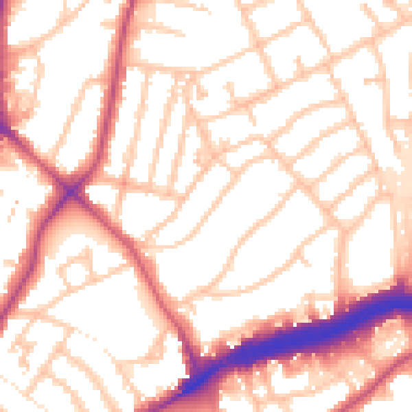
Daytime· 07:00 – 23:00
54.8dB

Night-time· 23:00 – 07:00
45.5dB