4f, Wellington Road, London, E11 2AN
About 4f
4f is a property in London (E11 2AN). It has council tax band C.
Energy performance
No EPC on record
This property doesn't have an Energy Performance Certificate yet. An EPC is required to sell or let — and unlocks our automated valuation.
Planning history
No planning applications are recorded against 4f, Wellington Road, London, E11 2AN. The full report also covers planning activity across the surrounding area.
Sales history & valuation
No sales recorded with HM Land Registry
That can mean the property has never traded since the registry began publishing in 1995, was a new build that hasn't been registered yet, or is held in the same hands long-term.
Median price across the last 5 sales in E11 2AN: £310,000 (2024–2012).
Nearby sales in E11 2AN
Flat 3, 3 Wellington Road, London, E11 2AN
Sold Sept 2024
£315,0004e, Wellington Road, London, E11 2AN
Sold May 2021
£410,9992a, Wellington Road, Redbridge, London, E11 2AN
Sold Oct 2015
£310,000Flat 4, 3 Wellington Road, London, E11 2AN
Sold Apr 2013
£268,000Flat 1, 3 Wellington Road, London, E11 2AN
Sold Oct 2012
£165,500
Similar properties nearby
1 Addison Road, Redbridge
E11 2RG
1 Ansell House, Church Path, Redbridge
E11 2SS
1 Burnham Crescent, Redbridge
E11 2DA
1 Cambridge Park, Redbridge
E11 2PU
1 Carlton Terrace, Nightingale Lane, Redbridge
E11 2EX
1 Chaucer Road, Redbridge
E11 2RE
1 Chester Road, Redbridge
E11 2JR
1 Chestnut Drive, Redbridge
E11 2TA
The neighbourhood at a glance
Rail-style transport is unusually close for this postcode.
Crime
5/mo
Rising year-on-year across the wider district.
Nearest stop
0.1 km
High Street / Hermon Hill — bus stop.
Closest school
0.1 km
Wanstead Church School. 45 schools nearby.
Road noise across the postcode
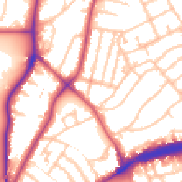
Daytime· 07:00 – 23:00
55.3dB

Night-time· 23:00 – 07:00
46.0dB