19 Fairlop Road, Waltham Forest, London, E11 1BL
About 19 Fairlop Road
19 Fairlop Road is a two-bedroom mid-terrace house in Waltham Forest, London, London (E11 1BL). It has a recorded floor area of 51 m² (around 549 sq ft), construction records dating it to 1900-1929 and council tax band B. At 51 m² this is the 2nd smallest of 26 units on EPC record in the building, where floor areas span 38–252 m². The building's EPC ratings span E to C across 26 units on file. Other recorded features include a basement. The home occupies a cul-de-sac position. The latest certificate (July 2013) shows a D (score 60), on the cusp of jumping into the C band. The recommended improvements would push it to C (score 78). The latest certificate is from July 2013, so improvements made since then won't be reflected.
At 51 m² it sits well below the postcode median (88 m² across 38 EPCs), making it one of the more compact homes locally. Last changed hands 8 years ago, in February 2018. Across the public record there are 5 sales, relatively high churn for a single property. Across 2001–2018, sale prices on this property compounded at 7.9% per year. On a £-per-square-foot basis, the last sale (£683/sq ft) was about 148.5% above the typical sold price in the postcode.
Know exactly what you're buying at 19 Fairlop Road
Before you offer, see what the listing won't tell you, the true value, the red flags and the full history.
Already flagged here
Valuation
against the asking price
Risks
planning & flood
Sold prices
similar homes nearby
Trends
the local market
What this property has
Inside
- Bedrooms2
- BasementYes
Outside
- Private gardenYes
- Cul-de-sacYes
Energy performance
19 Fairlop Road's EPC is over a decade old — improvements since won't be reflected.
EPC Expired
This certificate is over 10 years old and is no longer valid.Expired 06 Jul 2023
EPC Rating
Planning history
19 Fairlop Road has no planning applications on record.
Notable planning nearby
14applications of note in the surrounding area
We flagged 2 things worth checking at 19 Fairlop Road
Independent checks surfaced things a buyer would want to understand before offering. The report explains each one in full, with the underlying data and what to ask.
- Signs of HMO activity in the area
- Larger development activity nearby
30-day money-back guarantee
Sales history & valuation
Sale price has grown by over 3x since 2001.
£412,000
Modelled from EPC, postcode comparables and a sale-price growth of 7.9% per year over 17 years.
£375,000
Growth on file: 7.9% per year over 17 years.
Sales timeline
2 February 2018Most recent
£375,000
+5.6%over 3 years6 July 2014
£355,000
+87.8%over 8 years18 November 2005
£189,000
+24.3%over 2 years28 March 2003
£152,000
+44.8%over 1 year26 April 2001
£105,000
Median price across the last 5 sales in E11 1BL: £782,500 (2022–2016).
Nearby sales in E11 1BL
11 Fairlop Road, Waltham Forest, London, E11 1BL
Sold Jun 2022
£1,100,00018 Fairlop Road, Waltham Forest, London, E11 1BL
Sold Aug 2020
£800,00017 Fairlop Road, Waltham Forest, London, E11 1BL
Sold Apr 2019
£636,00014 Fairlop Road, Waltham Forest, London, E11 1BL
Sold Jan 2018
£782,5007 Fairlop Road, Waltham Forest, London, E11 1BL
Sold Aug 2016
£235,000
Everything we know about 19 Fairlop Road, in one report
What it's really worth, what could be wrong, and the planning, sales and area data in full.
What we flagged
- Signs of HMO activity in the area
- Larger development activity nearby

Versus other Fairlop Road homes
Price per m² for 19 Fairlop Road runs comfortably ahead of the street norm.
Price per m²
£7,353
Street avg £3,146
Floor Area
51 m²
Street avg 73 m²
Habitable Rooms
3 rooms
Street avg 3 rooms
CO₂ Emissions
2.8 t/year
Street avg 3.1 t/year
Similar properties nearby
1 Falcon Way, Redbridge
E11 1SX
1 Integer Gardens, Forest Road, Waltham Forest
E11 1LJ
1 Connor Close, Waltham Forest
E11 1BP
1 Forest Road, Waltham Forest
E11 1JT
1 Forest Drive West, Waltham Forest
E11 1JZ
1 Chadwick Road, Waltham Forest
E11 1NE
1 Kings Road, Waltham Forest
E11 1AU
1 Hainault Road, Waltham Forest
E11 1ED
The neighbourhood at a glance
Rail-style transport is unusually close for this postcode.
Crime
5/mo
Rising year-on-year across the wider district.
Nearest stop
0.0 km
Elim Pentecostal Church — bus stop.
Closest school
0.3 km
Gwyn Jones Primary School. 58 schools nearby.
Go deeper on the local area
The full report breaks down crime, transport links, schools and air quality in depth.
Road noise across the postcode
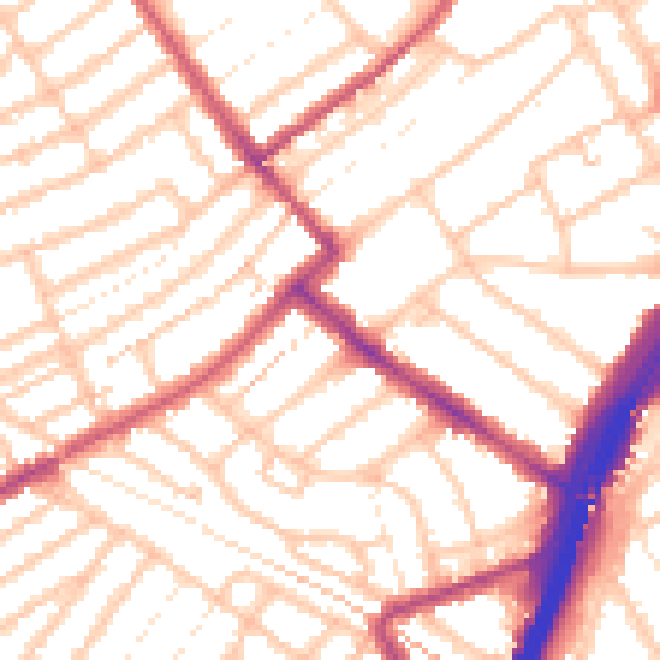
Daytime· 07:00 – 23:00
53.7dB

Night-time· 23:00 – 07:00
42.9dB