12 Okehampton Crescent, Welling, DA16 1DE
About 12 Okehampton Crescent
12 Okehampton Crescent is a three-bedroom semi-detached house in Welling (DA16 1DE). It has a recorded floor area of 72 m² (around 779 sq ft), construction records dating it to 1930-1949 and council tax band D. It has already been extended once and our model flags further extension potential, a sign of buyer flexibility. The latest certificate (August 2009) shows a D (score 58), a step below the typical UK home. The recommended improvements would push it to C (score 75). The latest certificate is from August 2009, so improvements made since then won't be reflected.
Across 2004–2014, sale prices on this property compounded at 4.8% per year. Today's modelled estimate of £456,000 sits 54.6% above the 2014 sale of £295,000. On a £-per-square-foot basis, the last sale (£379/sq ft) was about 56.2% above the typical sold price in the postcode. 11 years since the last transfer (December 2014). Across the public record there are 4 sales, relatively high churn for a single property. 2 planning records sit against the property, 2 approved, 0 refused. Past consents include an extension, meaningful when judging how the property has evolved. At 72 m² it's 24.6% smaller than the typical home in the postcode (96 m² median across 20 EPCs).
Know exactly what you're buying at 12 Okehampton Crescent
Before you offer, see what the listing won't tell you, the true value, the red flags and the full history.
Already flagged here
Valuation
against the asking price
Risks
planning & flood
Sold prices
similar homes nearby
Trends
the local market
What this property has
Inside
- Bedrooms3
Outside
- Private gardenRear
Building
- Central heatingYes
- Previously extendedYes
- Extension potentialPossible
Energy performance
12 Okehampton Crescent's EPC is over a decade old — improvements since won't be reflected.
EPC Expired
This certificate is over 10 years old and is no longer valid.Expired 16 Aug 2019
EPC Rating
Planning history
12 Okehampton Crescent has been extended on multiple sides of the property across separate planning applications.
- Aug 2015ExtensionFullIn report
Extension: Two storey · Side of property
Two storey side extension.
- Documents
- 24 docs on file
- Reference
- 15/01297/FUL
- Sept 2011ExtensionFullIn report
Extension: Side and rear of property
Part 1/Part 2 storey side/rear extension.
- Documents
- 14 docs on file
- Reference
- 11/01244/FUL
We flagged 1 thing worth checking at 12 Okehampton Crescent
Independent checks surfaced things a buyer would want to understand before offering. The report explains each one in full, with the underlying data and what to ask.
- Larger development activity nearby
30-day money-back guarantee
Sales history & valuation
12 Okehampton Crescent valuation sits well clear of the typical sold price in this postcode.
£456,000
Modelled from EPC, postcode comparables and a sale-price growth of 4.8% per year over 10 years.
£295,000
Growth on file: 4.8% per year over 10 years.
Sales timeline
19 December 2014Most recent
£295,000
+21.9%over 6 years1 May 2008
£242,000
-3.2%over 3 years4 April 2005
£249,995
+37.0%18 October 2004
£182,500
Median price across the last 5 sales in DA16 1DE: £490,000 (2024–2019).
Nearby sales in DA16 1DE
38 Okehampton Crescent, Welling, DA16 1DE
Sold Feb 2024
£441,5008 Okehampton Crescent, Welling, DA16 1DE
Sold Jan 2023
£490,00042 Okehampton Crescent, Welling, DA16 1DE
Sold Nov 2022
£565,00060 Okehampton Crescent, Welling, DA16 1DE
Sold Nov 2021
£665,0006 Okehampton Crescent, Welling, DA16 1DE
Sold Apr 2019
£435,000
Everything we know about 12 Okehampton Crescent, in one report
What it's really worth, what could be wrong, and the planning, sales and area data in full.
What we flagged
- Larger development activity nearby

Versus other Okehampton Crescent homes
Floor Area for 12 Okehampton Crescent lags the street by a wide margin.
Price per m²
£4,078
Street avg £3,624
Floor Area
72 m²
Street avg 105 m²
Habitable Rooms
4 rooms
Street avg 6 rooms
CO₂ Emissions
4.3 t/year
Street avg 4.5 t/year
Similar properties nearby
The neighbourhood at a glance
Crime
6/mo
Steady year-on-year across the wider district.
Nearest stop
0.2 km
Tor Road — bus stop.
Closest school
0.3 km
Hillsgrove Primary School. 51 schools nearby.
Go deeper on the local area
The full report breaks down crime, transport links, schools and air quality in depth.
Road noise across the postcode
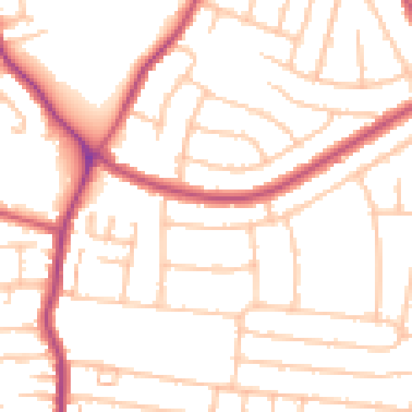
Daytime· 07:00 – 23:00
50.7dB

Night-time· 23:00 – 07:00
40.6dB