179a, Coulsdon Road, Caterham, CR3 5NU
About 179a
179a is a one-bedroom property in Caterham (CR3 5NU). It has council tax band A.
Held since June 2008 — that's 18 years off the open market, well above the local norm. That sale landed at the peak of the pre-credit-crunch market, which is a useful reference point when interpreting the price. One planning record on file: subdivision refused in 2008. Across 2006–2008, sale prices on this property compounded at 61.3% per year. 1 bedrooms is on the smaller side for this postcode, where 3 is the typical count.
What this property has
Inside
- Bedrooms1
- EnsuiteYes
Building
- Heating systemGas
- RefurbishedYes
Everything you need to know about 179a
The true value, the hidden risks and the full sale history, in one report.
30-day money-back guarantee

The data behind every report


Energy performance
No EPC on record
This property doesn't have an Energy Performance Certificate yet. An EPC is required to sell or let — and unlocks our automated valuation.
Get a survey for this property
Level 2 HomeBuyer Report
We've checked 10 risk factors against the available data for this property and believe a Level 2 HomeBuyer Report could be a suitable option for you.
Planning history
Council records show a subdivision application — the property's legal arrangement has been altered.
- Mar 2008SubdivisionIn report
Conversion of detached building to provide 1-bed flat.
- Reference
- 2008/88
We flagged 2 things worth checking at 179a
Independent checks surfaced things a buyer would want to understand before offering. The report explains each one in full, with the underlying data and what to ask.
- Larger development activity nearby
- Recent ownership pattern worth a look
30-day money-back guarantee
Sales history & valuation
Sale price has grown by over 3x since 2006.
£274,000
Growth on file: 61.3% per year over 2 years.
Sales timeline
8 June 2008Most recent
£274,000
+119.2%26 February 2008
£125,000
+38.9%over 2 years8 February 2006
£90,000
Median price across the last 5 sales in CR3 5NU: £280,000 (2025–2018).
Nearby sales in CR3 5NU
Everything you need to know about 179a
The true value, the hidden risks and the full sale history, in one report.
30-day money-back guarantee
The data behind every report
Similar properties nearby
The neighbourhood at a glance
Reported crime in the wider district is trending notably upward year-on-year.
Crime
4/mo
Rising year-on-year across the wider district.
Nearest stop
0.0 km
The Village — bus stop.
Closest school
0.8 km
Hillcroft Primary School. 14 schools nearby.
Go deeper on the local area
The full report breaks down crime, transport links, schools and air quality in depth.
Road noise across the postcode
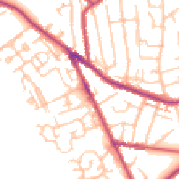
Daytime· 07:00 – 23:00
51.4dB

Night-time· 23:00 – 07:00
40.3dB